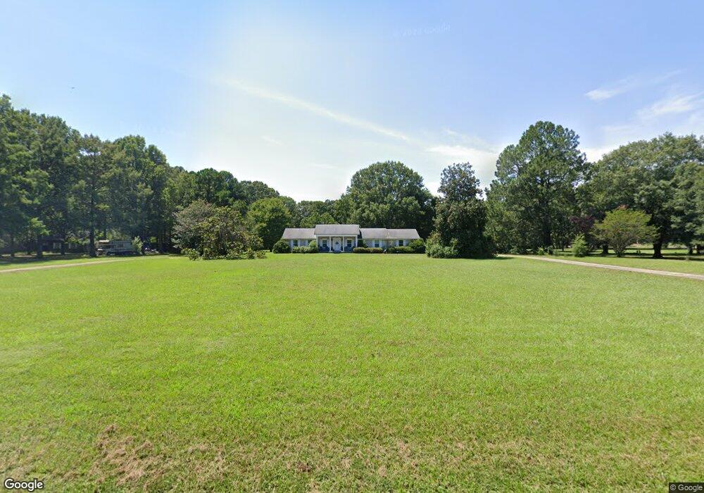
1455 Strandlund Dr Conway, AR 72032
Estimated Value: $250,000 - $313,402
--
Bed
2
Baths
1,972
Sq Ft
$138/Sq Ft
Est. Value
About This Home
This home is located at 1455 Strandlund Dr, Conway, AR 72032 and is currently estimated at $271,851, approximately $137 per square foot. 1455 Strandlund Dr is a home located in Faulkner County with nearby schools including Theodore Jones Elementary School, Conway Junior High School, and Conway High School.
Ownership History
Date
Name
Owned For
Owner Type
Purchase Details
Closed on
Nov 19, 2016
Sold by
Janski Maxine and Janski Joe Gene
Bought by
Killingsworth Chris and Killingsworth Katy
Current Estimated Value
Home Financials for this Owner
Home Financials are based on the most recent Mortgage that was taken out on this home.
Original Mortgage
$147,250
Outstanding Balance
$118,588
Interest Rate
3.52%
Mortgage Type
New Conventional
Estimated Equity
$153,263
Purchase Details
Closed on
Sep 23, 1968
Bought by
Janski
Create a Home Valuation Report for This Property
The Home Valuation Report is an in-depth analysis detailing your home's value as well as a comparison with similar homes in the area
Home Values in the Area
Average Home Value in this Area
Purchase History
| Date | Buyer | Sale Price | Title Company |
|---|---|---|---|
| Killingsworth Chris | $155,000 | Lenders Title Company | |
| Janski | -- | -- |
Source: Public Records
Mortgage History
| Date | Status | Borrower | Loan Amount |
|---|---|---|---|
| Open | Killingsworth Chris | $147,250 |
Source: Public Records
Tax History Compared to Growth
Tax History
| Year | Tax Paid | Tax Assessment Tax Assessment Total Assessment is a certain percentage of the fair market value that is determined by local assessors to be the total taxable value of land and additions on the property. | Land | Improvement |
|---|---|---|---|---|
| 2024 | $2,334 | $61,180 | $12,410 | $48,770 |
| 2023 | $2,222 | $45,570 | $12,410 | $33,160 |
| 2022 | $1,751 | $45,570 | $12,410 | $33,160 |
| 2021 | $1,654 | $45,570 | $12,410 | $33,160 |
| 2020 | $1,557 | $38,190 | $12,410 | $25,780 |
| 2019 | $1,557 | $38,190 | $12,410 | $25,780 |
| 2018 | $1,582 | $38,190 | $12,410 | $25,780 |
| 2017 | $1,582 | $0 | $0 | $0 |
| 2016 | $778 | $22,290 | $12,410 | $9,880 |
| 2015 | $778 | $40,400 | $12,410 | $27,990 |
| 2014 | $778 | $40,400 | $12,410 | $27,990 |
Source: Public Records
Map
Nearby Homes
- The Laurel Oak Plan at Woodside Crossing
- The Sanibel Plan at Woodside Crossing
- The Live Oak II Plan at Woodside Crossing
- The Oak II Plan at Woodside Crossing
- The Cayman Plan at Woodside Crossing
- The Hatteras Plan at Woodside Crossing
- The Sewee Plan at Woodside Crossing
- The Kokomo Plan at Woodside Crossing
- The Beaufort Plan at Woodside Crossing
- The Abaco Plan at Woodside Crossing
- The Key Largo Plan at Woodside Crossing
- The Abaco II Plan at Woodside Crossing
- The Busbee Plan at Woodside Crossing
- 1810 Angeline Dr
- 1660 Sweetspire Dr
- 2365 E Oak St
- 1600 Beautyberry Dr
- 18 Hazelwood Rd
- 2415 E Oak St
- 1735 Rohan Cir
- 1485 Strandlund Dr
- 1325 Brookfield Dr
- 1335 Brookfield Dr
- 1235 Brookfield Dr
- 2075 Edith Cir
- 0 Woodside Dr
- 1270 Woodside Dr
- 2070 Edith Cir
- 1480 Strandlund Dr
- 0 Strandlund Dr
- 2115 Rumker Rd
- 1260 Woodside Dr
- 1340 Strandlund Dr
- 1320 Brookfield Dr
- 1230 Woodside Dr
- 2050 Edith Cir
- 0 Edith Cir Unit 15017249
- 0 Edith Cir Unit 15028965
- 0 Edith Cir Unit 16015604
- 0 Edith Cir Unit 20028298