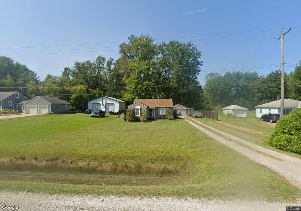
1455 Wadhams Rd Kimball, MI 48074
Estimated Value: $138,023 - $200,000
3
Beds
1
Bath
979
Sq Ft
$176/Sq Ft
Est. Value
About This Home
This home is located at 1455 Wadhams Rd, Kimball, MI 48074 and is currently estimated at $172,006, approximately $175 per square foot. 1455 Wadhams Rd is a home located in St. Clair County with nearby schools including Kimball Elementary School, Central Middle School, and Port Huron High School.
Ownership History
Date
Name
Owned For
Owner Type
Purchase Details
Closed on
Aug 2, 2006
Sold by
Lafferty Neil and Lafferty Joycelyn
Bought by
Askew Anthony J
Current Estimated Value
Home Financials for this Owner
Home Financials are based on the most recent Mortgage that was taken out on this home.
Original Mortgage
$113,450
Outstanding Balance
$68,335
Interest Rate
6.82%
Mortgage Type
New Conventional
Estimated Equity
$103,671
Create a Home Valuation Report for This Property
The Home Valuation Report is an in-depth analysis detailing your home's value as well as a comparison with similar homes in the area
Home Values in the Area
Average Home Value in this Area
Purchase History
| Date | Buyer | Sale Price | Title Company |
|---|---|---|---|
| Askew Anthony J | $117,000 | None Available |
Source: Public Records
Mortgage History
| Date | Status | Borrower | Loan Amount |
|---|---|---|---|
| Open | Askew Anthony J | $113,450 |
Source: Public Records
Tax History Compared to Growth
Tax History
| Year | Tax Paid | Tax Assessment Tax Assessment Total Assessment is a certain percentage of the fair market value that is determined by local assessors to be the total taxable value of land and additions on the property. | Land | Improvement |
|---|---|---|---|---|
| 2025 | $915 | $54,400 | $0 | $0 |
| 2024 | $518 | $50,700 | $0 | $0 |
| 2023 | $475 | $47,900 | $0 | $0 |
| 2022 | $818 | $42,000 | $0 | $0 |
| 2021 | $714 | $35,000 | $0 | $0 |
| 2020 | $714 | $46,000 | $46,000 | $0 |
| 2019 | $701 | $42,000 | $0 | $0 |
| 2018 | $685 | $37,600 | $0 | $0 |
| 2017 | $670 | $33,000 | $0 | $0 |
| 2016 | $374 | $33,000 | $0 | $0 |
| 2015 | -- | $32,700 | $32,700 | $0 |
| 2014 | -- | $26,300 | $26,300 | $0 |
| 2013 | -- | $34,500 | $0 | $0 |
Source: Public Records
Map
Nearby Homes
- 1876 Morningstar Ave
- 1604 Allen Rd
- 5510 Griswold Rd
- 1701 Allen Rd
- V/L Allen
- 1091 Allen Rd
- 2007 Edward Ln E
- 2022 Edward Ln W
- 00 Griswold Rd
- 1979 Allen Rd
- 2047 Edward Ln E
- 2019 Edward Ln E
- 1830 Leland Rd
- 6417 Dove Rd
- 6376 Ravenswood Rd
- 4632 Cloverdale Ln
- 0 Ravenswood Rd Unit 20251017048
- 0000 Ravenswood Rd
- 1371 Sturdevant Rd
- 00 Range Rd
- 1445 Wadhams Rd
- 1465 Wadhams Rd
- 1456 Wadhams Rd
- 5511 Dove Rd
- 1429 Bartlett Rd
- 5543 Dove Rd
- 1417 Wadhams Rd
- 5526 Dove Rd
- 1401 Wadhams Rd
- 1410 Wadhams Rd
- TBD Wadhams Rd
- 000 Wadhams Rd
- 1506 Wadhams Rd
- 1383 Wadhams Rd
- 5565 Dove Rd
- 5554 Dove Rd
- 1380 Wadhams Rd
- 1528 Wadhams Rd
- 1535 Wadhams Rd
- 1400 Wadhams Rd