14550 131st St Lemont, IL 60439
Southeast Lemont NeighborhoodEstimated Value: $929,000 - $1,107,000
4
Beds
4
Baths
3,733
Sq Ft
$269/Sq Ft
Est. Value
About This Home
This home is located at 14550 131st St, Lemont, IL 60439 and is currently estimated at $1,005,802, approximately $269 per square foot. 14550 131st St is a home located in Cook County with nearby schools including Oakwood School, River Valley School, and Old Quarry Middle School.
Ownership History
Date
Name
Owned For
Owner Type
Purchase Details
Closed on
Sep 30, 2024
Sold by
Pulla Richard J and Pulla Sheri L
Bought by
Richard Pulla And Sheri Pulla Revocable Trust and Pulla
Current Estimated Value
Purchase Details
Closed on
May 27, 2008
Sold by
Pulla Sheri L
Bought by
Pulla Sheri L and Pulla Richard J
Purchase Details
Closed on
May 6, 1999
Sold by
Pulla Richard and Pulla Sheri
Bought by
Pulla Sheri
Purchase Details
Closed on
Jan 21, 1999
Sold by
Spran Robert A
Bought by
Pulla Richard and Pulla Sheri
Purchase Details
Closed on
Jul 23, 1997
Sold by
Wojciechowski John M
Bought by
Spran Robert A
Create a Home Valuation Report for This Property
The Home Valuation Report is an in-depth analysis detailing your home's value as well as a comparison with similar homes in the area
Home Values in the Area
Average Home Value in this Area
Purchase History
| Date | Buyer | Sale Price | Title Company |
|---|---|---|---|
| Richard Pulla And Sheri Pulla Revocable Trust | -- | None Listed On Document | |
| Pulla Sheri L | -- | Chicago Title Insurance Co | |
| Pulla Sheri | -- | -- | |
| Pulla Richard | $68,000 | 1St American Title | |
| Spran Robert A | $55,000 | Chicago Title Insurance Co |
Source: Public Records
Tax History Compared to Growth
Tax History
| Year | Tax Paid | Tax Assessment Tax Assessment Total Assessment is a certain percentage of the fair market value that is determined by local assessors to be the total taxable value of land and additions on the property. | Land | Improvement |
|---|---|---|---|---|
| 2024 | $11,031 | $61,943 | $11,361 | $50,582 |
| 2023 | $12,477 | $61,943 | $11,361 | $50,582 |
| 2022 | $12,477 | $61,759 | $6,492 | $55,267 |
| 2021 | $12,209 | $61,759 | $6,492 | $55,267 |
| 2020 | $12,602 | $61,759 | $6,492 | $55,267 |
| 2019 | $12,073 | $61,554 | $6,492 | $55,062 |
| 2018 | $11,892 | $61,554 | $6,492 | $55,062 |
| 2017 | $11,819 | $61,554 | $6,492 | $55,062 |
| 2016 | $11,447 | $56,863 | $4,869 | $51,994 |
| 2015 | $11,498 | $56,863 | $4,869 | $51,994 |
| 2014 | $11,688 | $56,863 | $4,869 | $51,994 |
| 2013 | $11,962 | $61,685 | $4,869 | $56,816 |
Source: Public Records
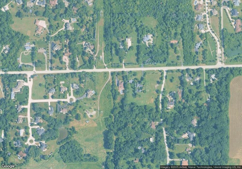
Map
Nearby Homes
- 14690 Fox Hollow
- 13175 Fox Ln
- 13100 Fox Ln
- 12 Woodland Dr
- 14151 131st St
- 12920 Marble St
- 12853 Marble St Unit 27A
- 14120 Baltic Cir
- 15082 131st St
- 12830 Marble St Unit 25A
- 1249 Cronin Ct
- 1369 Notre Dame Dr
- 16500 Kayla Dr
- 12744 Caruso Ct
- 12723 Caruso Ct
- 12652 Derby Rd
- 1382 Overton Dr
- 1408 Ashbury Dr
- 1156 Covington Dr
- Fremont Plan at Covington Knolls
- 14540 131st St
- 14530 131st St
- 14675 Unknown Ln
- 14675 Fox Hollow Ln
- 13100 Maple Ave
- 14571 131st St
- 14605 W 131st St
- 13140 Maple Ave
- 14555 131st St
- 13115 Maple Ave
- 14715 Fox Hollow Ln
- 14450 131st St
- 14615 131st St
- 13220 Maple Ave
- 14710 Fox Hollow Ln
- 14439 131st St
- 14440 131st St
- 14735 Fox Hollow Ln
- 13264 Maple Ave
- 14690 Fox Hollow Ln