Estimated Value: $228,000 - $282,000
3
Beds
2
Baths
1,564
Sq Ft
$162/Sq Ft
Est. Value
About This Home
This home is located at 14551 S 510 Rd, Miami, OK 74354 and is currently estimated at $252,781, approximately $161 per square foot. 14551 S 510 Rd is a home located in Ottawa County with nearby schools including Afton Elementary School and Afton High School.
Ownership History
Date
Name
Owned For
Owner Type
Purchase Details
Closed on
Aug 16, 2016
Sold by
Frost Roy Lee and Frost Patsy Jo
Bought by
Jarvis Tony Burnett
Current Estimated Value
Home Financials for this Owner
Home Financials are based on the most recent Mortgage that was taken out on this home.
Original Mortgage
$72,500
Outstanding Balance
$61,592
Interest Rate
2.5%
Mortgage Type
USDA
Estimated Equity
$191,189
Create a Home Valuation Report for This Property
The Home Valuation Report is an in-depth analysis detailing your home's value as well as a comparison with similar homes in the area
Home Values in the Area
Average Home Value in this Area
Purchase History
| Date | Buyer | Sale Price | Title Company |
|---|---|---|---|
| Jarvis Tony Burnett | $145,000 | Ottawa County Abstract & Tit |
Source: Public Records
Mortgage History
| Date | Status | Borrower | Loan Amount |
|---|---|---|---|
| Open | Jarvis Tony Burnett | $72,500 |
Source: Public Records
Tax History Compared to Growth
Tax History
| Year | Tax Paid | Tax Assessment Tax Assessment Total Assessment is a certain percentage of the fair market value that is determined by local assessors to be the total taxable value of land and additions on the property. | Land | Improvement |
|---|---|---|---|---|
| 2025 | $1,149 | $15,796 | $2,351 | $13,445 |
| 2024 | $1,149 | $15,796 | $2,351 | $13,445 |
| 2023 | $1,149 | $15,796 | $2,351 | $13,445 |
| 2022 | $1,032 | $15,442 | $2,351 | $13,091 |
| 2021 | $1,000 | $14,992 | $2,351 | $12,641 |
| 2020 | $968 | $14,555 | $2,351 | $12,204 |
| 2019 | $1,045 | $15,624 | $3,420 | $12,204 |
| 2018 | $1,045 | $15,624 | $3,420 | $12,204 |
| 2017 | $1,109 | $16,530 | $3,420 | $13,110 |
| 2016 | $211 | $3,949 | $1,834 | $2,115 |
| 2015 | $243 | $3,545 | $919 | $2,626 |
| 2014 | $203 | $3,834 | $1,780 | $2,054 |
Source: Public Records
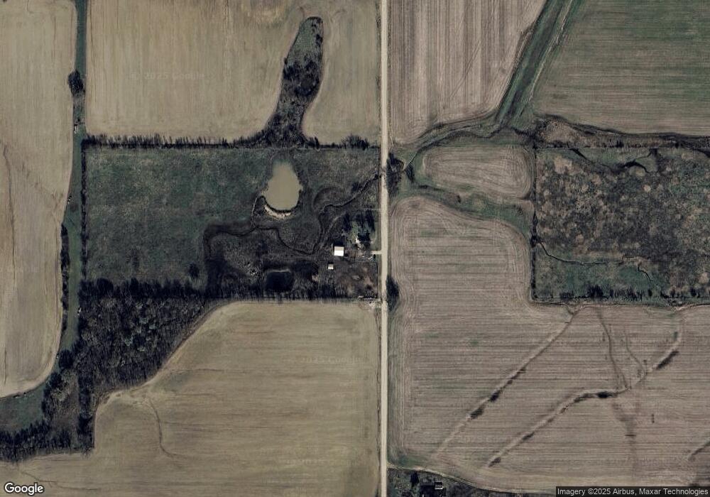
Map
Nearby Homes
- 12900 S Highway 69
- 0 Lot 1 Hwy 59
- 0 Tract 2 Hwy 59
- 0 Tract 8 Hwy 59
- 52150 E 110 Rd
- 0 E 130 Rd Unit 22-974
- Tract 3 U S 59
- 1133 Sunset Strip
- 2027 P St SW
- 2216 M St SW
- 11009 S 540 Rd
- 2110 M St SW
- TBD 24th Ave SW
- 0 24th Ave SW
- 1101 22nd Place SW
- 16701 S 550 Rd
- 1025 22nd Ave SW
- 2325 J St SW
- 805 23rd Ave SW
- 18801 S Highway 69