14553 Us Highway 70 Ardmore, OK 73401
Estimated Value: $249,000 - $298,711
3
Beds
2
Baths
2,170
Sq Ft
$126/Sq Ft
Est. Value
About This Home
This home is located at 14553 Us Highway 70, Ardmore, OK 73401 and is currently estimated at $273,237, approximately $125 per square foot. 14553 Us Highway 70 is a home located in Carter County with nearby schools including Plainview Primary School, Plainview Intermediate School, and Plainview Middle School.
Ownership History
Date
Name
Owned For
Owner Type
Purchase Details
Closed on
Jan 30, 2015
Sold by
Bonnell Gordon A and Bonnell Sherry D
Bought by
Bonnell Gordon A and Bonnell Sherry D
Current Estimated Value
Purchase Details
Closed on
Jun 27, 2002
Sold by
Hensley Kenneth L and Hensley Hel
Bought by
Bonnell Gordon and Bonnell Sherry
Purchase Details
Closed on
May 17, 1999
Sold by
Norton Bobby W and Norton Made
Bought by
Hensley Kenneth L and Hensley H
Create a Home Valuation Report for This Property
The Home Valuation Report is an in-depth analysis detailing your home's value as well as a comparison with similar homes in the area
Home Values in the Area
Average Home Value in this Area
Purchase History
| Date | Buyer | Sale Price | Title Company |
|---|---|---|---|
| Bonnell Gordon A | -- | None Available | |
| Bonnell Gordon | $70,000 | -- | |
| Hensley Kenneth L | $45,000 | -- |
Source: Public Records
Tax History Compared to Growth
Tax History
| Year | Tax Paid | Tax Assessment Tax Assessment Total Assessment is a certain percentage of the fair market value that is determined by local assessors to be the total taxable value of land and additions on the property. | Land | Improvement |
|---|---|---|---|---|
| 2025 | $1,497 | $17,883 | $4,507 | $13,376 |
| 2024 | $1,497 | $17,363 | $4,507 | $12,856 |
| 2023 | $1,450 | $16,857 | $4,507 | $12,350 |
| 2022 | $1,518 | $17,817 | $1,812 | $16,005 |
| 2021 | $1,516 | $17,298 | $1,432 | $15,866 |
| 2020 | $1,484 | $16,794 | $1,209 | $15,585 |
| 2019 | $1,401 | $16,306 | $3,185 | $13,121 |
| 2018 | $1,346 | $15,830 | $746 | $15,084 |
| 2017 | $1,311 | $15,370 | $727 | $14,643 |
| 2016 | $1,269 | $14,922 | $698 | $14,224 |
| 2015 | $1,253 | $14,487 | $636 | $13,851 |
| 2014 | $1,202 | $14,066 | $587 | $13,479 |
Source: Public Records
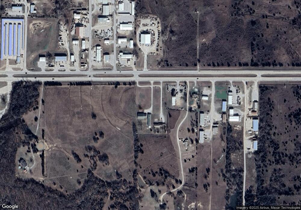
Map
Nearby Homes
- 270 Hickory St
- 40 Whipperwill St
- 7023 Myall Rd SW
- 8841 Brock Rd
- 7241 Myall Rd
- 0 Durango St
- 0 High Chaparal Dr Unit 2525272
- 01 N Brock Rd
- 5648 Myall Rd
- 0 Foxden Rd Unit 2511367
- 00 Bob White Rd
- 0 Kelly Ln
- 940 Durango St
- 319 Cross Creek Cir
- 58 Wisteria St
- 86 Wisteria St
- 145 Cross Creek Cir
- 725 Indian Plains Rd
- 114 Laurel St
- 737 Indian Plains Rd
- 14511 Us Highway 70
- 14431 Us Highway 70
- 14431 U S 70
- 70 Barracuda Dr
- 70Barracuda Hw 70
- 92 Case Cir
- 70 Bristol Rd
- 14453 Us Highway 70
- 14339 Us Highway 70
- 538 Case Cir Unit CI
- 14307 Us Highway 70
- 301 Barracuda Dr
- 301 Barracuda Dr
- 301 Barracuda Dr Unit 14331 Us HWY 70
- 372 Hatley Bean St
- 332 Hatley Bean St
- 167 Kati Ln
- 216 Hatley Bean St
- 286 Hatley Bean St
- 14927 Us Highway 70