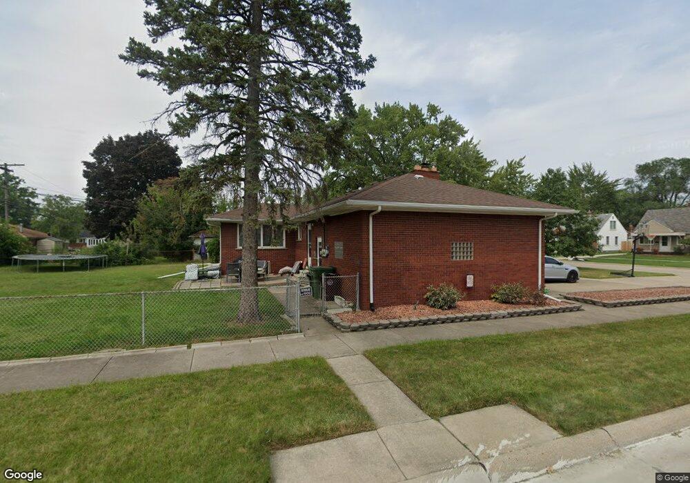
14562 Burns St Southgate, MI 48195
Estimated Value: $257,000 - $268,891
3
Beds
1
Bath
1,572
Sq Ft
$167/Sq Ft
Est. Value
About This Home
This home is located at 14562 Burns St, Southgate, MI 48195 and is currently estimated at $262,223, approximately $166 per square foot. 14562 Burns St is a home located in Wayne County with nearby schools including Grogan Elementary School, Davidson Middle School, and Southgate Anderson High School.
Ownership History
Date
Name
Owned For
Owner Type
Purchase Details
Closed on
Jun 14, 2019
Sold by
Pizzo James
Bought by
Passalacqua Dominic
Current Estimated Value
Home Financials for this Owner
Home Financials are based on the most recent Mortgage that was taken out on this home.
Original Mortgage
$162,011
Outstanding Balance
$146,789
Interest Rate
5.75%
Mortgage Type
FHA
Estimated Equity
$115,434
Purchase Details
Closed on
Oct 26, 2018
Sold by
Pizzo Angelo
Bought by
Pizzo James
Create a Home Valuation Report for This Property
The Home Valuation Report is an in-depth analysis detailing your home's value as well as a comparison with similar homes in the area
Home Values in the Area
Average Home Value in this Area
Purchase History
| Date | Buyer | Sale Price | Title Company |
|---|---|---|---|
| Passalacqua Dominic | $165,000 | None Available | |
| Pizzo James | -- | None Available |
Source: Public Records
Mortgage History
| Date | Status | Borrower | Loan Amount |
|---|---|---|---|
| Open | Passalacqua Dominic | $162,011 |
Source: Public Records
Tax History Compared to Growth
Tax History
| Year | Tax Paid | Tax Assessment Tax Assessment Total Assessment is a certain percentage of the fair market value that is determined by local assessors to be the total taxable value of land and additions on the property. | Land | Improvement |
|---|---|---|---|---|
| 2025 | $5,637 | $139,500 | $0 | $0 |
| 2024 | $5,637 | $131,000 | $0 | $0 |
| 2023 | $5,462 | $117,800 | $0 | $0 |
| 2022 | $5,248 | $106,200 | $0 | $0 |
| 2021 | $5,108 | $95,700 | $0 | $0 |
| 2020 | $5,021 | $85,700 | $0 | $0 |
| 2019 | $3,758 | $77,700 | $0 | $0 |
| 2018 | $2,870 | $70,300 | $0 | $0 |
| 2017 | $1,682 | $65,400 | $0 | $0 |
| 2016 | $3,477 | $66,400 | $0 | $0 |
| 2015 | $5,966 | $64,200 | $0 | $0 |
| 2013 | $5,780 | $59,100 | $0 | $0 |
| 2012 | $2,542 | $56,800 | $9,500 | $47,300 |
Source: Public Records
Map
Nearby Homes
- 14555 Burns St
- 13440 Phelps St
- 14620 Trenton Rd
- 14567 Longtin St
- 13460 Chestnut St
- 13480 Argyle St
- 14548 Pearl St
- 14370 Pearl St
- 13459 Jobin St
- 13650 Jobin St
- 12745 Phelps St
- 13109 Balsam St
- 13728 Agnes St
- 13610 Orchard St
- 14618 Fordline St
- 13787 Irene St
- 13847 Helen St
- 13546 Trenton Rd
- 13752 Peach St
- 13311 Castle St
- 14542 Burns St
- 13644 Mercier St
- 14622 Burns St
- 14520 Burns St
- 13645 Mercier St
- 13645 Veronica St
- 14569 Burns St
- 13660 Mercier St
- 13657 Veronica St
- 14642 Burns St
- 14615 Burns St
- 14541 Burns St
- 14631 Burns St
- 13669 Mercier St
- 14529 Burns St
- 13669 Veronica St
- 13672 Mercier St
- 14511 Burns St
- 13679 Mercier St
- 13550 Mercier St