145683 Flint Creek Cr Wausau, WI 54401
Estimated Value: $781,000 - $1,518,000
4
Beds
5
Baths
9,610
Sq Ft
$121/Sq Ft
Est. Value
About This Home
This home is located at 145683 Flint Creek Cr, Wausau, WI 54401 and is currently estimated at $1,164,542, approximately $121 per square foot. 145683 Flint Creek Cr is a home located in Marathon County with nearby schools including Stettin Elementary School, John Muir Middle School, and West High School.
Ownership History
Date
Name
Owned For
Owner Type
Purchase Details
Closed on
Mar 9, 2015
Sold by
Ghidorzi Charles A and Ghidorzi Mary Ann F
Bought by
Mcdonald Darcel Ann
Current Estimated Value
Home Financials for this Owner
Home Financials are based on the most recent Mortgage that was taken out on this home.
Original Mortgage
$300,000
Outstanding Balance
$229,430
Interest Rate
3.64%
Mortgage Type
New Conventional
Estimated Equity
$935,112
Purchase Details
Closed on
Nov 7, 2014
Sold by
Ghidorzi Charles A and Ghidorzi Mary Ann F
Bought by
Mcdonald Darcel Ann
Home Financials for this Owner
Home Financials are based on the most recent Mortgage that was taken out on this home.
Original Mortgage
$736,045
Interest Rate
6%
Mortgage Type
Seller Take Back
Create a Home Valuation Report for This Property
The Home Valuation Report is an in-depth analysis detailing your home's value as well as a comparison with similar homes in the area
Home Values in the Area
Average Home Value in this Area
Purchase History
| Date | Buyer | Sale Price | Title Company |
|---|---|---|---|
| Mcdonald Darcel Ann | -- | Ratco | |
| Mcdonald Darcel Ann | $990,000 | Ratco |
Source: Public Records
Mortgage History
| Date | Status | Borrower | Loan Amount |
|---|---|---|---|
| Open | Mcdonald Darcel Ann | $300,000 | |
| Previous Owner | Mcdonald Darcel Ann | $736,045 |
Source: Public Records
Tax History Compared to Growth
Tax History
| Year | Tax Paid | Tax Assessment Tax Assessment Total Assessment is a certain percentage of the fair market value that is determined by local assessors to be the total taxable value of land and additions on the property. | Land | Improvement |
|---|---|---|---|---|
| 2024 | $16,261 | $1,034,800 | $87,300 | $947,500 |
| 2023 | $18,501 | $1,034,800 | $87,300 | $947,500 |
| 2022 | $16,871 | $1,034,800 | $87,300 | $947,500 |
| 2021 | $16,581 | $1,034,800 | $87,300 | $947,500 |
| 2020 | $18,580 | $979,500 | $83,500 | $896,000 |
| 2019 | $18,866 | $979,500 | $83,500 | $896,000 |
| 2018 | $19,179 | $979,500 | $83,500 | $896,000 |
| 2017 | $18,883 | $979,500 | $83,500 | $896,000 |
| 2016 | $17,920 | $979,500 | $83,500 | $896,000 |
| 2015 | $19,032 | $976,600 | $83,500 | $893,100 |
| 2014 | $18,188 | $976,600 | $83,500 | $893,100 |
Source: Public Records
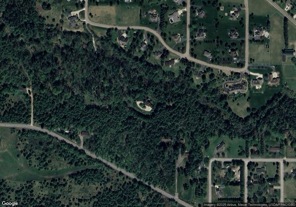
Map
Nearby Homes
- 231781 Twin Fawn Trail
- 231747 Twin Fawn Trail
- 231752 Twin Fawn Trail
- 231816 Little Brook Ct
- 145699 Bristers Hill Rd
- 231876 Little Brook Ct
- 231952 Little Brook Ct
- 10.80 Acres N 72nd Ave
- 116 S 68th Ave
- .80 Acres County Road U
- 120 Acres Stettin Dr
- 6603 Conner Davis Dr
- 212 Windtree Dr
- 6007 Birchwood Dr
- 5713 Birchwood Dr
- 303 Rimrock Rd
- 210 Bluestone Dr
- Lot 1 Stettin Dr
- 36.81 Acres Stettin Dr
- Lot 3 Stettin Dr
- 145683 Flint Creek Cir
- 145683 Flint Creek Cir
- 7601 Flints Creek Cir
- 145889 Flint Creek Cir
- 7704 Stettin Dr
- 7605 Flints Creek Cir
- 7610 Stettin Dr
- 7772 Stettin Dr
- 7603 Flints Creek Cir
- 145941 Flint Creek Cir
- 7507 Flints Creek Cir
- 7507 Flint Creek Cir
- 0 Flint Creek Cir
- 7607 Flint Creek Cir
- 7607 Flints Creek Cir
- 1102 Flints Rd
- 232244 Flints Rd
- 145612 Stettin Dr
- 7514 Stettin Dr
- 145946 Flint Creek Cir