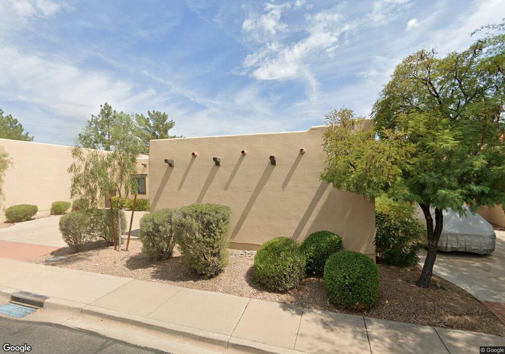
1457 N Diane Cir Mesa, AZ 85203
North Central Mesa NeighborhoodEstimated Value: $433,046 - $538,000
--
Bed
3
Baths
2,120
Sq Ft
$238/Sq Ft
Est. Value
About This Home
This home is located at 1457 N Diane Cir, Mesa, AZ 85203 and is currently estimated at $505,262, approximately $238 per square foot. 1457 N Diane Cir is a home located in Maricopa County with nearby schools including Macarthur Elementary School, Franklin at Brimhall Elementary School, and Franklin West Elementary School.
Ownership History
Date
Name
Owned For
Owner Type
Purchase Details
Closed on
Sep 27, 2005
Sold by
Box Charles Robert and Box Marilyn C
Bought by
Mateus Beatriz A
Current Estimated Value
Home Financials for this Owner
Home Financials are based on the most recent Mortgage that was taken out on this home.
Original Mortgage
$244,000
Outstanding Balance
$130,106
Interest Rate
5.7%
Mortgage Type
New Conventional
Estimated Equity
$375,156
Purchase Details
Closed on
May 21, 1998
Sold by
Box C Robert and Ross Marilyn C
Bought by
Box C Robert and Box Marilyn C
Create a Home Valuation Report for This Property
The Home Valuation Report is an in-depth analysis detailing your home's value as well as a comparison with similar homes in the area
Home Values in the Area
Average Home Value in this Area
Purchase History
| Date | Buyer | Sale Price | Title Company |
|---|---|---|---|
| Mateus Beatriz A | $305,000 | Arizona Title Agency Inc | |
| Box C Robert | -- | -- |
Source: Public Records
Mortgage History
| Date | Status | Borrower | Loan Amount |
|---|---|---|---|
| Open | Mateus Beatriz A | $244,000 | |
| Closed | Mateus Beatriz A | $61,000 |
Source: Public Records
Tax History Compared to Growth
Tax History
| Year | Tax Paid | Tax Assessment Tax Assessment Total Assessment is a certain percentage of the fair market value that is determined by local assessors to be the total taxable value of land and additions on the property. | Land | Improvement |
|---|---|---|---|---|
| 2025 | $1,833 | $22,069 | -- | -- |
| 2024 | $1,853 | $21,018 | -- | -- |
| 2023 | $1,853 | $36,060 | $7,210 | $28,850 |
| 2022 | $1,812 | $27,980 | $5,590 | $22,390 |
| 2021 | $1,862 | $25,680 | $5,130 | $20,550 |
| 2020 | $1,837 | $23,850 | $4,770 | $19,080 |
| 2019 | $1,702 | $21,920 | $4,380 | $17,540 |
| 2018 | $1,625 | $20,500 | $4,100 | $16,400 |
| 2017 | $1,574 | $19,730 | $3,940 | $15,790 |
| 2016 | $1,545 | $19,080 | $3,810 | $15,270 |
| 2015 | $1,459 | $17,000 | $3,400 | $13,600 |
Source: Public Records
Map
Nearby Homes
- 1550 N Stapley Dr Unit 6
- 1139 E Huber St
- 1232 E Mclellan Rd
- 1204 E Glencove Cir
- 1313 N Delmar
- 1314 E Greenway Cir
- 1657 N Doran
- 1663 N Doran
- 1524 E Grandview St
- 1313 E Ivyglen St
- 1158 N Barkley
- 1517 E Mclellan Rd
- 1513 E Greenway St
- 1535 N Horne Unit 74
- 1535 N Horne -- Unit 67
- 1810 N Barkley
- 1663 N Nevada Way
- 860 E Brown Rd Unit 25-28
- 1618 E Greenway St
- 1611 E Greenway St
- 1465 N Diane Cir
- 1449 N Diane Cir
- 1449 N Diane Cir
- 1438 S Allen
- 1441 N Diane Cir
- 1446 N Allen
- 1446 S Allen
- 1430 N Allen
- 1454 N Diane Cir
- 1462 N Diane Cir
- 1446 N Diane Cir
- 1433 N Diane Cir
- 1422 N Allen
- 1422 S Allen
- 1438 N Diane Cir
- 1437 N Allen
- 1425 N Diane Cir
- 1430 N Diane Cir
- 1232 E Harvest St
- 1503 N Diane St