14570 W Kaiser Rd Wadsworth, IL 60083
Estimated Value: $359,000 - $538,000
3
Beds
2
Baths
1,500
Sq Ft
$286/Sq Ft
Est. Value
About This Home
This home is located at 14570 W Kaiser Rd, Wadsworth, IL 60083 and is currently estimated at $429,382, approximately $286 per square foot. 14570 W Kaiser Rd is a home located in Lake County with nearby schools including Newport Elementary School, Beach Park Middle School, and Zion-Benton Township High School.
Ownership History
Date
Name
Owned For
Owner Type
Purchase Details
Closed on
Feb 22, 2017
Sold by
Kaiser Timothy J and Kaiser Sheila
Bought by
Kaiser Timothy J and Kaiser Sheila
Current Estimated Value
Home Financials for this Owner
Home Financials are based on the most recent Mortgage that was taken out on this home.
Original Mortgage
$100,000
Interest Rate
4.19%
Mortgage Type
Stand Alone Second
Purchase Details
Closed on
Dec 19, 2001
Sold by
Kaiser Constance L
Bought by
Kaiser Timothy J
Create a Home Valuation Report for This Property
The Home Valuation Report is an in-depth analysis detailing your home's value as well as a comparison with similar homes in the area
Home Values in the Area
Average Home Value in this Area
Purchase History
| Date | Buyer | Sale Price | Title Company |
|---|---|---|---|
| Kaiser Timothy J | -- | Attorney | |
| Kaiser Timothy J | -- | -- |
Source: Public Records
Mortgage History
| Date | Status | Borrower | Loan Amount |
|---|---|---|---|
| Closed | Kaiser Timothy J | $100,000 |
Source: Public Records
Tax History Compared to Growth
Tax History
| Year | Tax Paid | Tax Assessment Tax Assessment Total Assessment is a certain percentage of the fair market value that is determined by local assessors to be the total taxable value of land and additions on the property. | Land | Improvement |
|---|---|---|---|---|
| 2024 | $8,031 | $86,889 | $31,372 | $55,517 |
| 2023 | $8,440 | $85,542 | $31,486 | $54,056 |
| 2022 | $8,440 | $86,341 | $26,451 | $59,890 |
| 2021 | $8,765 | $85,021 | $25,981 | $59,040 |
| 2020 | $8,756 | $82,969 | $25,301 | $57,668 |
| 2019 | $8,819 | $79,625 | $24,244 | $55,381 |
| 2018 | $9,215 | $79,547 | $24,166 | $55,381 |
| 2017 | $9,320 | $78,012 | $23,658 | $54,354 |
| 2016 | $9,269 | $75,351 | $22,816 | $52,535 |
| 2015 | $9,236 | $71,133 | $21,519 | $49,614 |
| 2014 | $8,095 | $69,153 | $20,901 | $48,252 |
| 2012 | $8,127 | $70,250 | $21,193 | $49,057 |
Source: Public Records
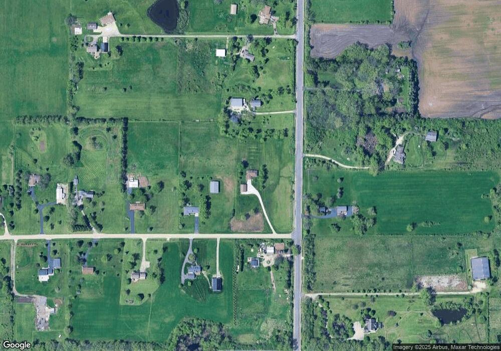
Map
Nearby Homes
- 40485 N Belle Foret Dr
- 40417 N Belle Foret Dr
- 40404 N Belle Foret Dr
- 40342 N Belle Foret Dr
- 40354 N Belle Foret Dr
- 14960 W 21st St
- 40661 N Delany Rd
- 40827 N Delany Rd
- 14389 W Andover Rd
- 14067 W Pratum Terra Dr
- 41616 N Delaney Rd
- 41616 N Delany Rd
- 14552 W Concord Ct
- 14604 W Concord Ct
- 14682 W Concord Ct
- 14760 W Concord Ct
- 14786 W Concord Ct
- 14627 W Concord Ct
- 14757 W Concord Ct
- 14835 W Concord Ct
- 40675 N Kilbourne Rd
- 40750 N Kilbourne Rd
- 14630 W Kaiser Rd
- 14625 W Kaiser Rd
- 40822 N Kilbourne Rd
- 14680 W Kaiser Rd
- 40729 N Kilbourne Rd
- 40755 N Kilbourne Rd
- 14659 W Kaiser Rd
- 40876 N Kilbourne Rd
- 14730 W Kaiser Rd
- 40525 N Kilbourne Rd
- 14725 W Kaiser Rd
- 40905 N Kilbourne Rd
- 40840 N Kilbourne Rd
- 40550 N Kilbourne Rd
- 40836 N Kilbourne Rd
- 40846 N Kilbourne Rd
- 14780 W Kaiser Rd