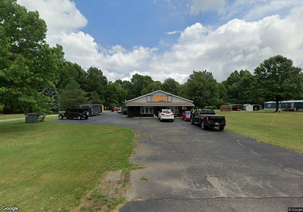
14575 Oyster Rd Alliance, OH 44601
--
Bed
--
Bath
1,000
Sq Ft
0.71
Acres
About This Home
This home is located at 14575 Oyster Rd, Alliance, OH 44601. 14575 Oyster Rd is a home located in Mahoning County with nearby schools including Alliance Elementary School at Rockhill, Alliance Intermediate School at Northside, and Alliance Middle School.
Ownership History
Date
Name
Owned For
Owner Type
Purchase Details
Closed on
Nov 27, 2012
Sold by
Whitaker Mark A
Bought by
Vankampen Arthur H and Van Kampen Linda L
Purchase Details
Closed on
Mar 15, 2005
Bought by
Vankampen Arthur H Trustee
Create a Home Valuation Report for This Property
The Home Valuation Report is an in-depth analysis detailing your home's value as well as a comparison with similar homes in the area
Home Values in the Area
Average Home Value in this Area
Purchase History
| Date | Buyer | Sale Price | Title Company |
|---|---|---|---|
| Vankampen Arthur H | $126,500 | Heritage Union Title Co Ltd | |
| Vankampen Arthur H Trustee | -- | -- |
Source: Public Records
Tax History Compared to Growth
Tax History
| Year | Tax Paid | Tax Assessment Tax Assessment Total Assessment is a certain percentage of the fair market value that is determined by local assessors to be the total taxable value of land and additions on the property. | Land | Improvement |
|---|---|---|---|---|
| 2024 | $2,313 | $44,020 | $3,580 | $40,440 |
| 2023 | $2,676 | $44,020 | $3,580 | $40,440 |
| 2022 | $2,433 | $39,730 | $2,610 | $37,120 |
| 2021 | $2,431 | $39,730 | $2,610 | $37,120 |
| 2020 | $2,577 | $39,730 | $2,610 | $37,120 |
| 2019 | $2,528 | $39,730 | $2,610 | $37,120 |
| 2018 | $2,706 | $39,730 | $2,610 | $37,120 |
| 2017 | $2,703 | $39,730 | $2,610 | $37,120 |
| 2016 | $2,601 | $37,980 | $2,610 | $35,370 |
| 2015 | $2,686 | $37,980 | $2,610 | $35,370 |
| 2014 | $2,575 | $37,980 | $2,610 | $35,370 |
| 2013 | $2,534 | $37,980 | $2,610 | $35,370 |
Source: Public Records
Map
Nearby Homes
- 22841 Lake Park Blvd
- 1233 Woodland Ave
- 834 Devine St
- 815 Grace St
- 831 Wade Ave
- 729 Waugh St
- 814 Milner St
- 1044 S Liberty Ave
- 1846 S Freedom Ave
- 853 Fairway Dr
- 1005 S Freedom Ave
- 1437 S Linden Ave
- 2376 S Seneca Ave
- 390 E College St
- 2218 S Freedom Ave
- 442 S Liberty Ave
- 452 E Summit St
- 317 E State St
- 548 E High St
- 2408 S Linden Ave
- 14565 Oyster Rd
- 14571 Oyster Rd
- 14723 Oyster Rd
- 14763 Oyster Rd
- 22345 Cover St
- 14771 Oyster Rd
- 14400 Oyster Rd
- 22372 Cover St
- 22188 Alliance Sebring Rd
- 22435 Attwood St
- 22365 Harding Dr
- 22371 Harding Dr
- 22444 Attwood St
- 14357 Oyster Rd
- 22569 Attwood St
- 22258 Harrisburg Westville Rd
- 22250 Harrisburg Westville Rd
- 22216 Harrisburg Westville Rd
- 22238 Harrisburg Westville Rd
- 14333 Todd Ave