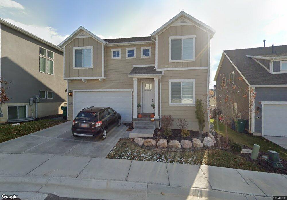
1458 E Sego Lily Ct Layton, UT 84040
Estimated Value: $583,000 - $692,000
4
Beds
3
Baths
3,404
Sq Ft
$188/Sq Ft
Est. Value
About This Home
This home is located at 1458 E Sego Lily Ct, Layton, UT 84040 and is currently estimated at $639,704, approximately $187 per square foot. 1458 E Sego Lily Ct is a home located in Davis County with nearby schools including Sarah Jane Adams Elementary School, North Layton Junior High School, and Northridge High School.
Ownership History
Date
Name
Owned For
Owner Type
Purchase Details
Closed on
Aug 13, 2018
Sold by
Fowers Jana L
Bought by
Mansius Brandon C and Mansius Tara J
Current Estimated Value
Home Financials for this Owner
Home Financials are based on the most recent Mortgage that was taken out on this home.
Original Mortgage
$249,900
Outstanding Balance
$216,576
Interest Rate
4.5%
Mortgage Type
New Conventional
Estimated Equity
$423,128
Purchase Details
Closed on
Mar 30, 2018
Sold by
Hawkins Homes & Commonuties Llc
Bought by
Fowers Lawrence P and Fowers Jana L
Home Financials for this Owner
Home Financials are based on the most recent Mortgage that was taken out on this home.
Original Mortgage
$165,000
Interest Rate
3.87%
Mortgage Type
New Conventional
Create a Home Valuation Report for This Property
The Home Valuation Report is an in-depth analysis detailing your home's value as well as a comparison with similar homes in the area
Home Values in the Area
Average Home Value in this Area
Purchase History
| Date | Buyer | Sale Price | Title Company |
|---|---|---|---|
| Mansius Brandon C | -- | Mountain View Title | |
| Fowers Lawrence P | -- | North American Title | |
| Hawkins Homes & Communities Llc | -- | North American Title |
Source: Public Records
Mortgage History
| Date | Status | Borrower | Loan Amount |
|---|---|---|---|
| Open | Mansius Brandon C | $249,900 | |
| Previous Owner | Fowers Lawrence P | $165,000 |
Source: Public Records
Tax History Compared to Growth
Tax History
| Year | Tax Paid | Tax Assessment Tax Assessment Total Assessment is a certain percentage of the fair market value that is determined by local assessors to be the total taxable value of land and additions on the property. | Land | Improvement |
|---|---|---|---|---|
| 2025 | $3,433 | $343,750 | $97,350 | $246,400 |
| 2024 | $3,272 | $330,550 | $74,800 | $255,750 |
| 2023 | $3,061 | $546,000 | $122,000 | $424,000 |
| 2022 | $3,399 | $331,650 | $67,650 | $264,000 |
| 2021 | $3,095 | $450,000 | $83,000 | $367,000 |
| 2020 | $2,867 | $400,000 | $60,800 | $339,200 |
| 2019 | $2,918 | $401,000 | $58,500 | $342,500 |
| 2018 | $943 | $121,829 | $27,501 | $94,328 |
Source: Public Records
Map
Nearby Homes
- 1251 E Larkspur Way
- 1379 E Petunia Ct
- 1930 N Camellia Way E Unit 407
- 2096 N 1450 E
- 1920 N Camellia Way Unit 406
- 1463 Kays Creek Dr
- 1305 E Larkspur Way
- 1313 E Larkspur Way
- 1308 E Larkspur Way
- Richards Plan at Eastridge Park - The Vistas
- Brynlee Plan at Eastridge Park - The Vistas
- Brynlee Plan at Eastridge Park - The Heights
- Ontario Plan at Eastridge Park - The Heights
- Mclauren Plan at Eastridge Park - The Vistas
- Escher Plan at Eastridge Park - The Vistas
- Rivershore Plan at Eastridge Park - The Vistas
- Helene Plan at Eastridge Park - The Vistas
- Bromley Plan at Eastridge Park - The Heights
- Beringwood Plan at Eastridge Park - The Heights
- Caulfield Plan at Eastridge Park - The Heights
- 1458 E Sego Lily Ct Unit 118
- 1460 E Sego Lily Ct Unit 117
- 1454 E Sego Lily Ct Unit 119
- 1447 E Daylily Ct
- 1447 E Daylily Ct Unit 132
- 1466 Sego Lily Ct 116
- 1466 E Sego Lily Ct Unit 116
- 1433 E Daylily Ct Unit 131
- 1455 E Sego Lily Ct
- 1425 E Daylily Ct Unit 130
- 1459 E Sego Lily Ct
- 1476 E Sego Lily Ct Unit 115
- 1465 E Sego Lily Ct
- 1419 E Daylily Ct Unit 129
- 1453 E Sego Lily Ct Unit 110
- 1469 E Sego Lily Ct
- 1486 E Sego Lily Ct Unit 120
- 1479 E Sego Lily Ct Unit 121
- 1458 E Primrose Ln Unit 205
- 1458 E Primrose Ln