14586 River Front Rd Clatskanie, OR 97016
Estimated Value: $453,681 - $501,000
3
Beds
2
Baths
3,568
Sq Ft
$134/Sq Ft
Est. Value
About This Home
This home is located at 14586 River Front Rd, Clatskanie, OR 97016 and is currently estimated at $477,341, approximately $133 per square foot. 14586 River Front Rd is a home located in Columbia County with nearby schools including Clatskanie Elementary School and Clatskanie Middle/High School.
Ownership History
Date
Name
Owned For
Owner Type
Purchase Details
Closed on
Sep 22, 2009
Sold by
Best Edna L
Bought by
Coverdell Shawn E
Current Estimated Value
Home Financials for this Owner
Home Financials are based on the most recent Mortgage that was taken out on this home.
Original Mortgage
$220,000
Outstanding Balance
$143,734
Interest Rate
5.25%
Mortgage Type
VA
Estimated Equity
$333,607
Create a Home Valuation Report for This Property
The Home Valuation Report is an in-depth analysis detailing your home's value as well as a comparison with similar homes in the area
Home Values in the Area
Average Home Value in this Area
Purchase History
| Date | Buyer | Sale Price | Title Company |
|---|---|---|---|
| Coverdell Shawn E | $220,000 | Columbia County Title |
Source: Public Records
Mortgage History
| Date | Status | Borrower | Loan Amount |
|---|---|---|---|
| Open | Coverdell Shawn E | $220,000 |
Source: Public Records
Tax History Compared to Growth
Tax History
| Year | Tax Paid | Tax Assessment Tax Assessment Total Assessment is a certain percentage of the fair market value that is determined by local assessors to be the total taxable value of land and additions on the property. | Land | Improvement |
|---|---|---|---|---|
| 2025 | $2,184 | $189,613 | $57,353 | $132,260 |
| 2024 | $2,121 | $184,099 | $55,689 | $128,410 |
| 2023 | $2,113 | $178,746 | $64,346 | $114,400 |
| 2022 | $2,037 | $173,544 | $61,934 | $111,610 |
| 2021 | $1,991 | $168,494 | $51,564 | $116,930 |
| 2020 | $1,747 | $163,593 | $49,723 | $113,870 |
| 2019 | $1,674 | $158,833 | $47,773 | $111,060 |
| 2018 | $1,617 | $154,215 | $56,985 | $97,230 |
| 2017 | $1,591 | $149,728 | $55,328 | $94,400 |
| 2016 | $1,548 | $145,371 | $53,721 | $91,650 |
| 2015 | $1,349 | $126,275 | $52,385 | $73,890 |
| 2014 | $1,161 | $110,600 | $50,880 | $59,720 |
Source: Public Records
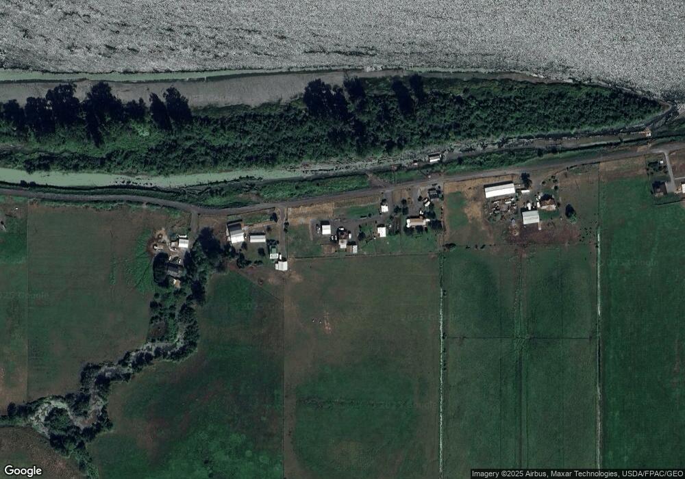
Map
Nearby Homes
- 78527 Point Adams Rd
- 76830 Schroeder Rd
- 10 W Cape Horn Rd
- 0 Palm Hill Rd Unit 467442641
- 78098 Erickson Dike Rd
- 12592 Highway 30
- 810 Howard Dr
- 78384 Collins Rd
- 0 Bel Air Dr
- 0 Maple Ridge Rd Unit NWM2373279
- 3 SW Canyon Rd
- 2 SW Canyon Rd
- 1 SW Canyon Rd
- 505 SW Tichenor St
- 636 S Nehalem St
- 11097 Colvin Rd
- 0 Conyers Creek Unit 208773965
- 18229 Haven Acres Rd
- 340 E Sunny Sands Rd
- 365 Bellflower Rd
- 14606 River Front Rd
- 14508 River Front Rd
- 14716 River Front Rd
- 14428 River Front Rd
- 14266 River Front Rd
- 14792 River Front Rd
- 14962 River Front Rd
- 15114 River Front Rd
- 15390 River Front Rd
- 13876 River Front Rd
- 15270 River Front Rd
- 14021 Midland District Rd
- 13987 Midland District Rd
- 14023 Midland District Rd
- 13745 Webb District Rd
- 13800 Webb District Rd
- 15408 River Front Rd
- 15418 River Front Rd
- 15426 River Front Rd
- 15049 Midland District Rd