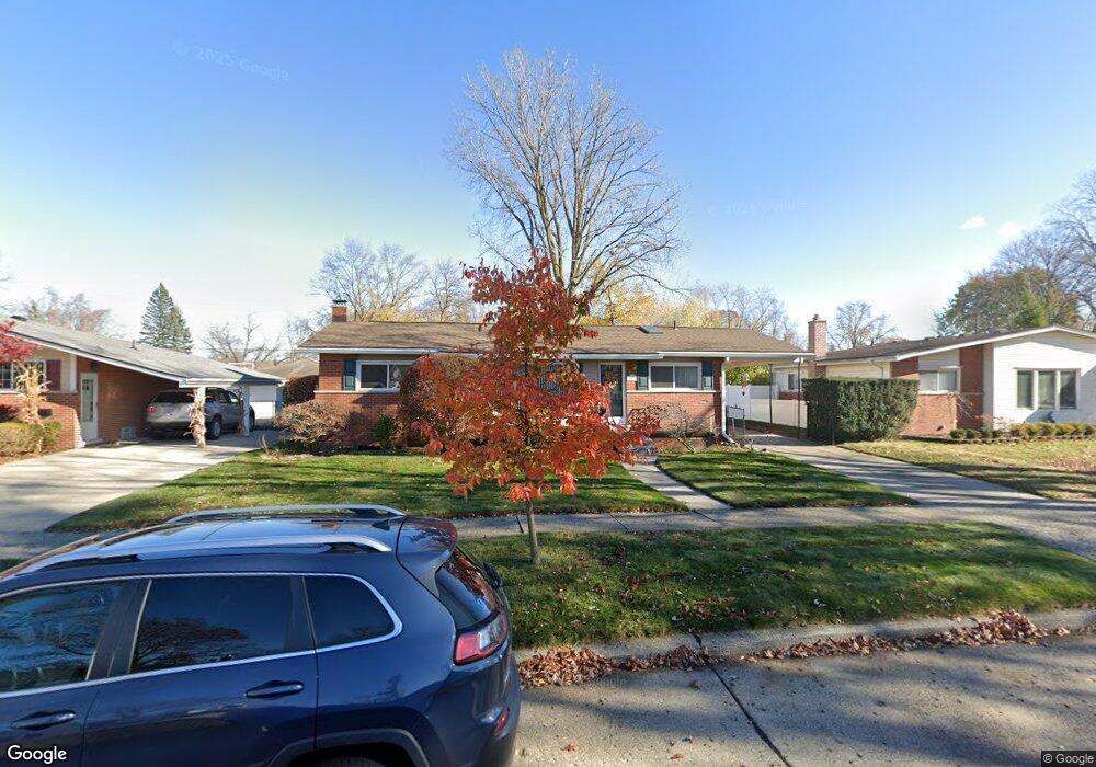
14590 Auburndale St Livonia, MI 48154
Estimated Value: $286,000 - $332,000
--
Bed
2
Baths
1,155
Sq Ft
$261/Sq Ft
Est. Value
About This Home
This home is located at 14590 Auburndale St, Livonia, MI 48154 and is currently estimated at $301,997, approximately $261 per square foot. 14590 Auburndale St is a home located in Wayne County with nearby schools including Kennedy Elementary School, Johnson Upper Elementary School, and Frost Middle School.
Ownership History
Date
Name
Owned For
Owner Type
Purchase Details
Closed on
Nov 5, 2004
Sold by
Damico James and Damico Amanda D
Bought by
Sitler Stephen G
Current Estimated Value
Purchase Details
Closed on
Oct 7, 1996
Sold by
Harris Adam D and Harris Michelle
Bought by
Mooney Michael L
Purchase Details
Closed on
Jul 1, 1994
Sold by
Wilson Roy A
Bought by
Harris Adam D and Harris Michelle
Home Financials for this Owner
Home Financials are based on the most recent Mortgage that was taken out on this home.
Original Mortgage
$94,400
Interest Rate
8.61%
Mortgage Type
New Conventional
Create a Home Valuation Report for This Property
The Home Valuation Report is an in-depth analysis detailing your home's value as well as a comparison with similar homes in the area
Home Values in the Area
Average Home Value in this Area
Purchase History
| Date | Buyer | Sale Price | Title Company |
|---|---|---|---|
| Sitler Stephen G | $193,450 | Lawyers Title | |
| Mooney Michael L | $138,000 | -- | |
| Harris Adam D | $104,900 | -- |
Source: Public Records
Mortgage History
| Date | Status | Borrower | Loan Amount |
|---|---|---|---|
| Previous Owner | Harris Adam D | $94,400 |
Source: Public Records
Tax History Compared to Growth
Tax History
| Year | Tax Paid | Tax Assessment Tax Assessment Total Assessment is a certain percentage of the fair market value that is determined by local assessors to be the total taxable value of land and additions on the property. | Land | Improvement |
|---|---|---|---|---|
| 2025 | $1,661 | $129,500 | $0 | $0 |
| 2024 | $1,661 | $121,700 | $0 | $0 |
| 2023 | $1,584 | $108,900 | $0 | $0 |
| 2022 | $2,782 | $100,800 | $0 | $0 |
| 2021 | $2,702 | $96,300 | $0 | $0 |
| 2019 | $2,593 | $83,900 | $0 | $0 |
| 2018 | $1,340 | $76,500 | $0 | $0 |
| 2017 | $2,371 | $72,300 | $0 | $0 |
| 2016 | $2,493 | $72,300 | $0 | $0 |
| 2015 | $5,856 | $65,110 | $0 | $0 |
| 2012 | -- | $56,810 | $16,250 | $40,560 |
Source: Public Records
Map
Nearby Homes
- 14563 Melrose St
- 14677 Auburndale St
- 14327 Arden St
- 32136 Lyndon St
- 31221 Lyndon St
- 31126 Grennada St
- 15040 Berwick St
- 14155 Berwick St
- 14292 Hubbell St
- 14214 Cranston St
- 14164 Bainbridge St
- 14154 Hubbell St
- 14879 Fairfield St
- 15075 Hubbard St Unit 5
- 30831 Lyndon St
- 15345 Bainbridge St
- 32651 5 Mile Rd Unit 15
- 14127 Hillcrest St
- 31005 Roycroft St
- 15600 Auburndale St
- 14570 Auburndale St
- 14610 Auburndale St
- 14591 Melrose St
- 14560 Auburndale St
- 14630 Auburndale St
- 14611 Melrose St
- 14573 Melrose St
- 14589 Auburndale St
- 14629 Melrose St
- 14609 Auburndale St
- 14571 Auburndale St
- 14540 Auburndale St
- 14520 Auburndale St
- 14650 Auburndale St
- 14561 Auburndale St
- 14631 Auburndale St
- 14519 Melrose St
- 14541 Melrose St
- 14649 Melrose St
- 14539 Auburndale St