14593 S Highway 48 Bristow, OK 74010
Estimated Value: $317,248 - $405,000
3
Beds
2
Baths
2,976
Sq Ft
$125/Sq Ft
Est. Value
About This Home
This home is located at 14593 S Highway 48, Bristow, OK 74010 and is currently estimated at $372,416, approximately $125 per square foot. 14593 S Highway 48 is a home located in Creek County with nearby schools including Olive Elementary School and Olive High School.
Create a Home Valuation Report for This Property
The Home Valuation Report is an in-depth analysis detailing your home's value as well as a comparison with similar homes in the area
Home Values in the Area
Average Home Value in this Area
Tax History Compared to Growth
Tax History
| Year | Tax Paid | Tax Assessment Tax Assessment Total Assessment is a certain percentage of the fair market value that is determined by local assessors to be the total taxable value of land and additions on the property. | Land | Improvement |
|---|---|---|---|---|
| 2025 | $733 | $8,965 | $473 | $8,492 |
| 2024 | $717 | $8,704 | $460 | $8,244 |
| 2023 | $717 | $8,450 | $447 | $8,003 |
| 2022 | $545 | $8,450 | $357 | $8,093 |
| 2021 | $562 | $8,450 | $411 | $8,039 |
| 2020 | $574 | $8,451 | $583 | $7,868 |
| 2019 | $574 | $8,450 | $592 | $7,858 |
| 2018 | $578 | $8,451 | $611 | $7,840 |
| 2017 | $582 | $8,451 | $611 | $7,840 |
| 2016 | $594 | $8,451 | $611 | $7,840 |
| 2015 | -- | $8,451 | $611 | $7,840 |
| 2014 | -- | $8,451 | $711 | $7,740 |
Source: Public Records
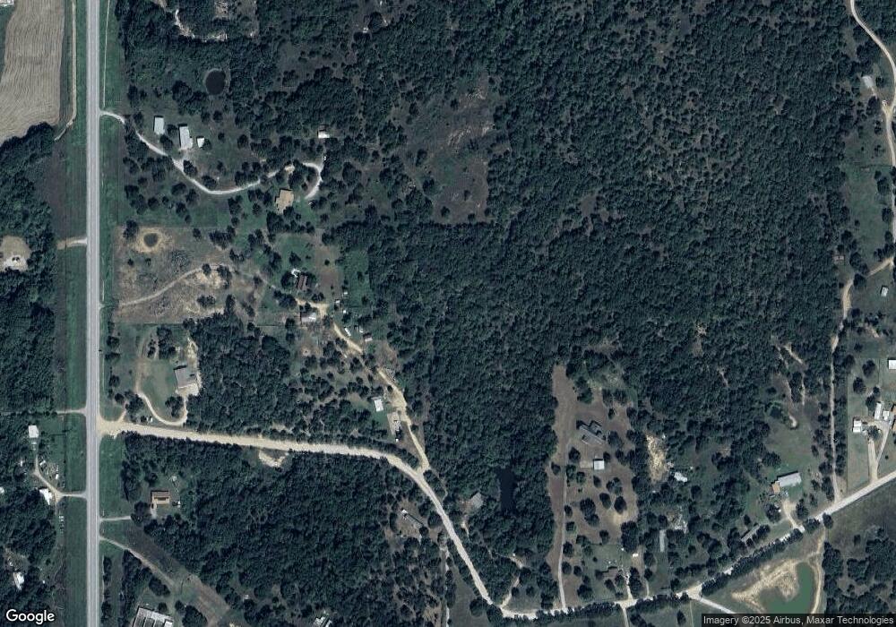
Map
Nearby Homes
- 14751 S Highway 48
- 39525 W 151st St S
- 12670 State Highway 48
- 16605 State Highway 48
- 0 S 401 St W Unit 2521022
- 1 S 401 West Ave
- 4 S 401 West Ave
- 16458 S 401st West Ave
- 00 S 369th West Ave
- 17504 S 327th West Ave
- 0 W 181st St S Unit 2539521
- 32380 W Old Highway 33 Rd
- 12763 S Ave
- 12763 S 305th West Ave
- 18694 S 340 Ave W
- 32109 W Highway 66
- 35761 W 101st St S
- 9644 State Highway 48
- 44463 W 166th St S
- 15459 S 283rd West Ave
- 36849 Pinehill Rd
- 14465 State Highway 48
- 14731 State Highway 48
- 14731 S Highway 48
- 36467 Pinehill Rd
- 36423 Pinehill Rd
- 14730 S Highway 48
- 36335 Pinehill Rd
- 14658 S Highway 48
- 36175 Pinehill Rd
- 36234 Pine Hill Rd
- 14251 S Highway 48
- 14350 S Highway 48
- 35799 Pinehill Rd
- 14105 S Highway 48
- 15099 S Highway 48
- 36092 Pinehill Rd
- 35963 Pinehill Rd
- 37209 W 151st St S