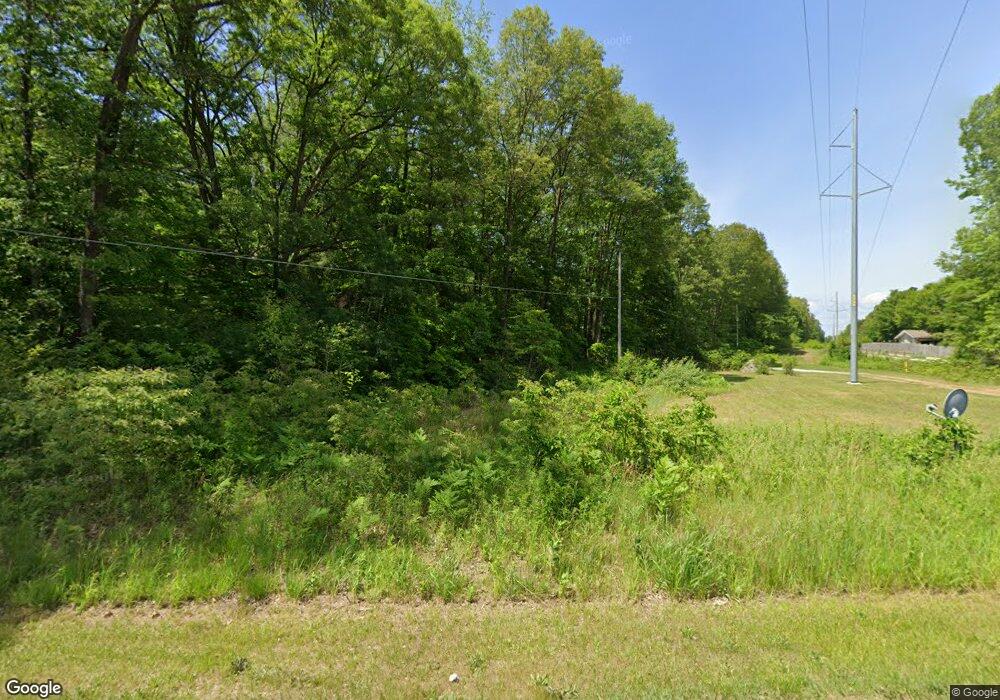
14599 State Rd Spring Lake, MI 49456
Estimated Value: $375,000 - $493,000
2
Beds
3
Baths
2,208
Sq Ft
$190/Sq Ft
Est. Value
About This Home
This home is located at 14599 State Rd, Spring Lake, MI 49456 and is currently estimated at $420,051, approximately $190 per square foot. 14599 State Rd is a home located in Ottawa County with nearby schools including Fruitport High School and St. Mary's School.
Ownership History
Date
Name
Owned For
Owner Type
Purchase Details
Closed on
Sep 3, 2011
Sold by
Mainwaring Scott M and Mainwaring Victoria A
Bought by
Mainwaring Scott M and Mainwaring Victoria A
Current Estimated Value
Purchase Details
Closed on
Mar 23, 2005
Sold by
Semkiw Bruce William
Bought by
Mainwaring Scott and Mainwaring Victoria
Home Financials for this Owner
Home Financials are based on the most recent Mortgage that was taken out on this home.
Original Mortgage
$156,000
Outstanding Balance
$79,611
Interest Rate
5.71%
Mortgage Type
Purchase Money Mortgage
Estimated Equity
$340,440
Create a Home Valuation Report for This Property
The Home Valuation Report is an in-depth analysis detailing your home's value as well as a comparison with similar homes in the area
Home Values in the Area
Average Home Value in this Area
Purchase History
| Date | Buyer | Sale Price | Title Company |
|---|---|---|---|
| Mainwaring Scott M | -- | None Available | |
| Mainwaring Scott | $195,000 | Chicago Title |
Source: Public Records
Mortgage History
| Date | Status | Borrower | Loan Amount |
|---|---|---|---|
| Open | Mainwaring Scott | $156,000 |
Source: Public Records
Tax History Compared to Growth
Tax History
| Year | Tax Paid | Tax Assessment Tax Assessment Total Assessment is a certain percentage of the fair market value that is determined by local assessors to be the total taxable value of land and additions on the property. | Land | Improvement |
|---|---|---|---|---|
| 2025 | $3,519 | $195,400 | $0 | $0 |
| 2024 | $2,613 | $150,900 | $0 | $0 |
| 2023 | $2,493 | $133,800 | $0 | $0 |
| 2022 | $3,116 | $131,700 | $0 | $0 |
| 2021 | $3,003 | $124,800 | $0 | $0 |
| 2020 | $3,016 | $125,800 | $0 | $0 |
| 2019 | $2,975 | $123,400 | $0 | $0 |
| 2018 | $2,880 | $115,500 | $24,600 | $90,900 |
| 2017 | $2,810 | $112,200 | $0 | $0 |
| 2016 | $2,409 | $105,000 | $0 | $0 |
| 2015 | -- | $100,300 | $0 | $0 |
| 2014 | -- | $95,400 | $0 | $0 |
Source: Public Records
Map
Nearby Homes
- 14704 Lori Ln
- 17438 Yorkton Dr
- 17518 Shinnecock Dr
- 14924 Bethpage Dr
- 16249 148th Ave
- 14898 Kelly St
- 14940 Kelly St
- 14920 Kelly St
- 14960 Kelly St
- 18030 Pettys Ln
- 18034 Egret Unit 4
- 15102 Brookside Dr
- 15329 Blue Heron Ct
- 15144 Wintergreen Ct Unit 4
- 15143 Wintergreen Ct
- 17526 N Fruitport Rd Unit 9
- 17512 N Fruitport Rd
- 17533 N Fruitport Rd Unit 6
- 17882 Channel View Dr
- 15574 Howard St
- 14595 State Rd
- 14591 State Rd
- 14637 State Rd
- 14671 State Rd
- 14519 State Rd
- 17734 148th Ave
- 17646 148th Ave
- 17742 148th Ave
- 14602 State Rd
- 14711 State Rd
- 17570 148th Ave
- 14674 Lori Ln
- 17662 148th Ave
- 17608 148th Ave
- 14719 State Rd
- 17630 148th Ave
- 14499 State Rd
- 17652 148th Ave
- 17568 148th Ave
- 14461 State Rd
