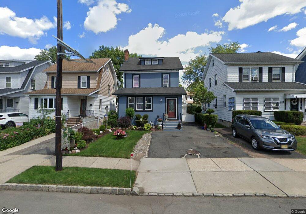
146 Ampere Pkwy Bloomfield, NJ 07003
Estimated Value: $457,000 - $537,000
--
Bed
--
Bath
1,566
Sq Ft
$313/Sq Ft
Est. Value
About This Home
This home is located at 146 Ampere Pkwy, Bloomfield, NJ 07003 and is currently estimated at $490,166, approximately $313 per square foot. 146 Ampere Pkwy is a home located in Essex County with nearby schools including Carteret School, Bloomfield Middle School, and Bloomfield High School.
Ownership History
Date
Name
Owned For
Owner Type
Purchase Details
Closed on
Aug 30, 2011
Sold by
Jali Llc
Bought by
23 Orange Avenue 62502161 Llc
Current Estimated Value
Purchase Details
Closed on
Nov 30, 2007
Sold by
Carlau Enterprises Llc
Bought by
Toledo Azucena Navarro
Home Financials for this Owner
Home Financials are based on the most recent Mortgage that was taken out on this home.
Original Mortgage
$279,490
Interest Rate
6.37%
Mortgage Type
Purchase Money Mortgage
Purchase Details
Closed on
May 24, 2006
Sold by
Demaria Theresa
Bought by
Carlau Enterprises Llc
Create a Home Valuation Report for This Property
The Home Valuation Report is an in-depth analysis detailing your home's value as well as a comparison with similar homes in the area
Home Values in the Area
Average Home Value in this Area
Purchase History
| Date | Buyer | Sale Price | Title Company |
|---|---|---|---|
| 23 Orange Avenue 62502161 Llc | $190,500 | None Available | |
| Toledo Azucena Navarro | $294,200 | None Available | |
| Carlau Enterprises Llc | $150,000 | -- |
Source: Public Records
Mortgage History
| Date | Status | Borrower | Loan Amount |
|---|---|---|---|
| Previous Owner | Toledo Azucena Navarro | $279,490 |
Source: Public Records
Tax History Compared to Growth
Tax History
| Year | Tax Paid | Tax Assessment Tax Assessment Total Assessment is a certain percentage of the fair market value that is determined by local assessors to be the total taxable value of land and additions on the property. | Land | Improvement |
|---|---|---|---|---|
| 2025 | $8,951 | $273,900 | $84,200 | $189,700 |
| 2024 | $8,951 | $273,900 | $84,200 | $189,700 |
| 2022 | $8,770 | $273,900 | $84,200 | $189,700 |
| 2021 | $8,609 | $273,900 | $84,200 | $189,700 |
| 2020 | $8,477 | $273,900 | $84,200 | $189,700 |
| 2019 | $8,265 | $207,600 | $83,000 | $124,600 |
| 2018 | $8,229 | $207,600 | $83,000 | $124,600 |
| 2017 | $8,105 | $207,600 | $83,000 | $124,600 |
| 2016 | $8,013 | $207,600 | $83,000 | $124,600 |
| 2015 | $7,941 | $207,600 | $83,000 | $124,600 |
| 2014 | $7,795 | $207,600 | $83,000 | $124,600 |
Source: Public Records
Map
Nearby Homes
- 150 Ampere Pkwy
- 142 Ampere Pkwy
- 152 Ampere Pkwy
- 140 Ampere Pkwy
- 125 N 17th St
- 127 N 17th St
- 156 Ampere Pkwy
- 121 N 17th St
- 10 1st Ave
- 119 N 17th St
- 119 N 17th St Unit 1
- 133 N 17th St
- 160 Ampere Pkwy
- 65 1st Ave
- 135 N 17th St
- 137 N 17th St
- 162 Ampere Pkwy
- 147 Ampere Pkwy
- 141 Ampere Pkwy
- 145 Ampere Pkwy