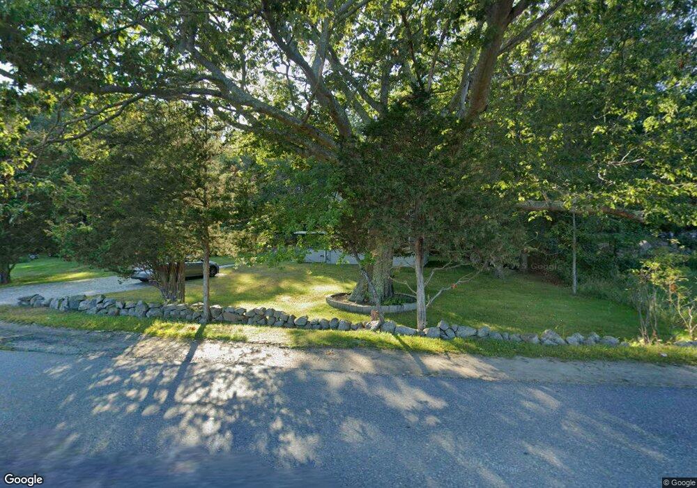
146 Atlantic St Gloucester, MA 01930
West Gloucester NeighborhoodEstimated Value: $708,409 - $957,000
2
Beds
2
Baths
1,550
Sq Ft
$532/Sq Ft
Est. Value
About This Home
This home is located at 146 Atlantic St, Gloucester, MA 01930 and is currently estimated at $824,352, approximately $531 per square foot. 146 Atlantic St is a home located in Essex County with nearby schools including West Parish, Ralph B O'maley Middle School, and Faith Christian School.
Ownership History
Date
Name
Owned For
Owner Type
Purchase Details
Closed on
Apr 1, 1994
Sold by
Silva Jesse T
Bought by
Arruda Heather T and Arruda Daniel
Current Estimated Value
Home Financials for this Owner
Home Financials are based on the most recent Mortgage that was taken out on this home.
Original Mortgage
$85,500
Interest Rate
7.07%
Mortgage Type
Purchase Money Mortgage
Create a Home Valuation Report for This Property
The Home Valuation Report is an in-depth analysis detailing your home's value as well as a comparison with similar homes in the area
Home Values in the Area
Average Home Value in this Area
Purchase History
| Date | Buyer | Sale Price | Title Company |
|---|---|---|---|
| Arruda Heather T | $90,000 | -- |
Source: Public Records
Mortgage History
| Date | Status | Borrower | Loan Amount |
|---|---|---|---|
| Open | Arruda Heather T | $114,000 | |
| Closed | Arruda Heather T | $25,000 | |
| Closed | Arruda Heather T | $79,970 | |
| Closed | Arruda Heather T | $85,500 |
Source: Public Records
Tax History Compared to Growth
Tax History
| Year | Tax Paid | Tax Assessment Tax Assessment Total Assessment is a certain percentage of the fair market value that is determined by local assessors to be the total taxable value of land and additions on the property. | Land | Improvement |
|---|---|---|---|---|
| 2025 | $6,331 | $651,300 | $284,900 | $366,400 |
| 2024 | $6,205 | $637,700 | $271,300 | $366,400 |
| 2023 | $5,319 | $502,300 | $182,100 | $320,200 |
| 2022 | $5,148 | $438,900 | $158,300 | $280,600 |
| 2021 | $4,969 | $399,400 | $143,900 | $255,500 |
| 2020 | $4,889 | $396,500 | $143,900 | $252,600 |
| 2019 | $4,665 | $367,600 | $143,900 | $223,700 |
| 2018 | $4,489 | $347,200 | $143,900 | $203,300 |
| 2017 | $4,350 | $329,800 | $137,000 | $192,800 |
| 2016 | $4,280 | $314,500 | $142,900 | $171,600 |
| 2015 | $4,114 | $301,400 | $142,900 | $158,500 |
Source: Public Records
Map
Nearby Homes
- 188 Atlantic St
- 226 Atlantic St
- 30 Atlantic St
- 49 Thurston Point Rd
- 6 River Rd
- 109 Riverview Rd
- 672 Washington St
- 18 Cherry St
- 5 Samoset Rd Unit A
- 65 Poplar St
- 145 Essex Ave Unit 610
- 368 Essex Ave
- 6 Beauport Ave
- 227 Essex Ave
- 19 Mystic Ave
- 11 Overlook Ave
- 196 Washington St
- 78 Grove St
- 3 Colburn St
- 3 Colburn St Unit 1
- 232 Bray St
- 148 Atlantic St
- 230 Bray St
- 228 Bray St
- 152 Atlantic St
- 6 Sea Fox Ln
- 4 Sea Fox Ln
- 226 Bray St
- 125 Atlantic St
- 156 Atlantic St
- 8 Sea Fox Ln
- 2 Sea Fox Ln
- 224 Bray St
- 10 Sea Fox Ln
- 10 Sea Fox Ln Unit 1
- 225 Bray St
- 0 Castleview Road Lot 8 Unit 70742669
- 4A Castle View Dr
- 1 Sea Fox Ln
- 5A Castle View Dr