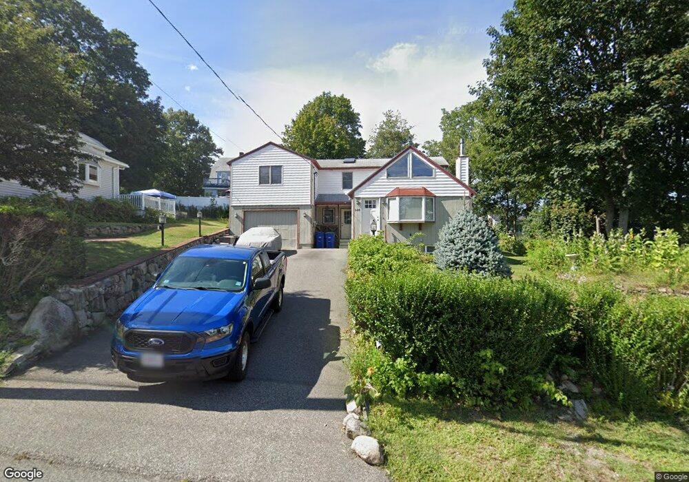
146 Audubon Ave Braintree, MA 02184
East Braintree NeighborhoodEstimated Value: $630,000 - $687,000
3
Beds
2
Baths
1,547
Sq Ft
$427/Sq Ft
Est. Value
About This Home
This home is located at 146 Audubon Ave, Braintree, MA 02184 and is currently estimated at $660,358, approximately $426 per square foot. 146 Audubon Ave is a home located in Norfolk County with nearby schools including Braintree High School, Sacred Heart Elementary School, and South Shore Christian Academy.
Ownership History
Date
Name
Owned For
Owner Type
Purchase Details
Closed on
Aug 29, 2025
Sold by
146 Audubon Avenue Rt and Gianino
Bought by
Enders Wilfred B
Current Estimated Value
Purchase Details
Closed on
May 7, 2024
Sold by
Enders Wilfred B
Bought by
146 Audubon Avenue Rt and Gianino
Purchase Details
Closed on
Oct 15, 1990
Sold by
Enders Wilfred B
Bought by
Enders Wilfred B
Home Financials for this Owner
Home Financials are based on the most recent Mortgage that was taken out on this home.
Original Mortgage
$80,000
Interest Rate
10.18%
Mortgage Type
Purchase Money Mortgage
Create a Home Valuation Report for This Property
The Home Valuation Report is an in-depth analysis detailing your home's value as well as a comparison with similar homes in the area
Home Values in the Area
Average Home Value in this Area
Purchase History
| Date | Buyer | Sale Price | Title Company |
|---|---|---|---|
| Enders Wilfred B | -- | -- | |
| 146 Audubon Avenue Rt | -- | None Available | |
| 146 Audubon Avenue Rt | -- | None Available | |
| Enders Wilfred B | $5,000 | -- | |
| Enders Wilfred B | $5,000 | -- |
Source: Public Records
Mortgage History
| Date | Status | Borrower | Loan Amount |
|---|---|---|---|
| Previous Owner | Enders Wilfred B | $95,000 | |
| Previous Owner | Enders Wilfred B | $83,000 | |
| Previous Owner | Enders Wilfred B | $80,000 |
Source: Public Records
Tax History Compared to Growth
Tax History
| Year | Tax Paid | Tax Assessment Tax Assessment Total Assessment is a certain percentage of the fair market value that is determined by local assessors to be the total taxable value of land and additions on the property. | Land | Improvement |
|---|---|---|---|---|
| 2025 | $5,695 | $570,600 | $345,800 | $224,800 |
| 2024 | $5,074 | $535,200 | $314,000 | $221,200 |
| 2023 | $4,841 | $496,000 | $282,100 | $213,900 |
| 2022 | $4,664 | $468,700 | $254,800 | $213,900 |
| 2021 | $4,243 | $426,400 | $230,200 | $196,200 |
| 2020 | $3,998 | $405,500 | $209,300 | $196,200 |
| 2019 | $3,941 | $390,600 | $200,200 | $190,400 |
| 2018 | $3,832 | $363,600 | $182,000 | $181,600 |
| 2017 | $3,657 | $340,500 | $172,900 | $167,600 |
| 2016 | $3,641 | $331,600 | $163,800 | $167,800 |
| 2015 | $3,296 | $297,700 | $136,500 | $161,200 |
| 2014 | $3,202 | $280,400 | $131,000 | $149,400 |
Source: Public Records
Map
Nearby Homes
- 64 Arborway Dr
- 60 Edgehill Rd
- 294 Commercial St
- 70 Biscayne Ave
- 67 Somerville Ave
- 83 Edgemont Rd
- 38 Idlewell St
- 9 Hillside Ave
- 312 Shaw St
- 16 Winona Way
- 141 Hobart St
- 93 Wilson Ave
- 141 Commercial St Unit 9
- 145 Commercial St Unit 3
- 37 Skyline Dr Unit 11
- 36 Brookside Rd
- 14 Howard Ct
- 51 Beals St Unit 53
- 86 E Howard St Unit 107
- 122 Washington St Unit 22
- 142 Audubon Ave
- 152 Audubon Ave
- 127 Trefton Dr
- 135 Trefton Dr
- 121 Trefton Dr Unit 123
- 147 Audubon Ave
- 143 Audubon Ave
- 134 Audubon Ave
- 151 Audubon Ave
- 158 Audubon Ave
- 139 Audubon Ave
- 141 Trefton Dr
- 113 Trefton Dr
- 133 Audubon Ave
- 74 Inglewood St
- 126 Audubon Ave
- 159 Audubon Ave
- 124 Trefton Dr
- 74 Vinedale Rd
- 80 Inglewood St