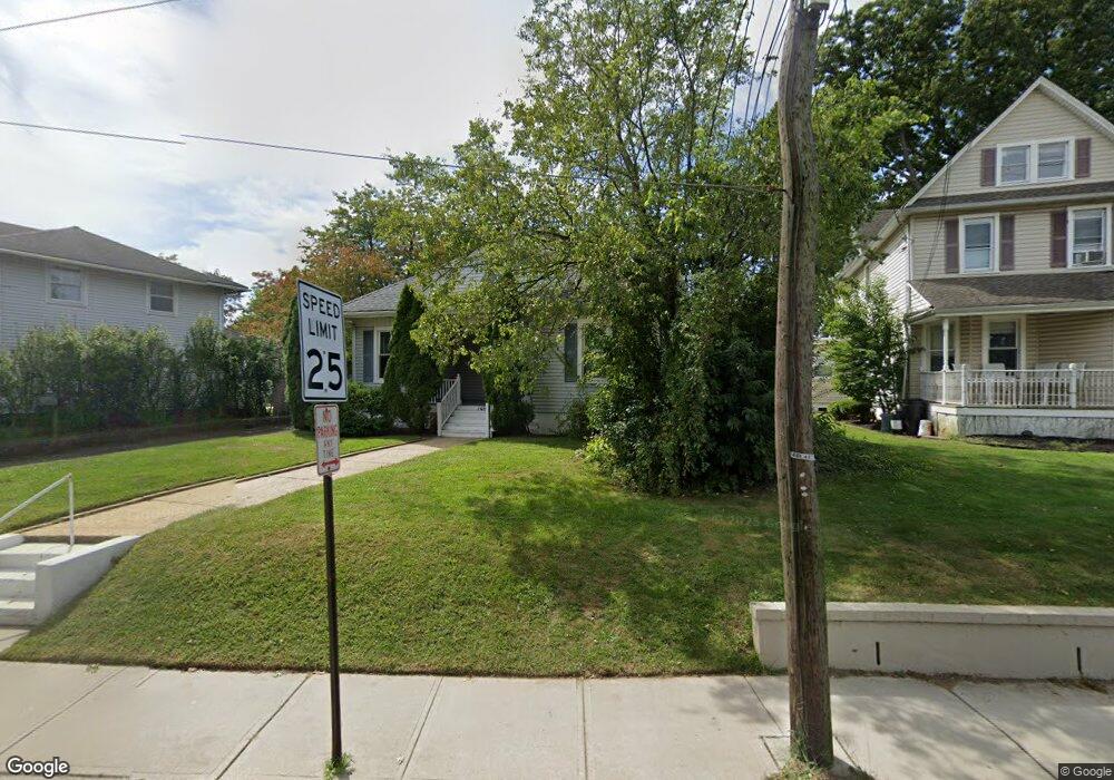
146 Branchport Ave Long Branch, NJ 07740
Estimated Value: $495,259 - $571,000
3
Beds
1
Bath
1,331
Sq Ft
$391/Sq Ft
Est. Value
About This Home
This home is located at 146 Branchport Ave, Long Branch, NJ 07740 and is currently estimated at $520,315, approximately $390 per square foot. 146 Branchport Ave is a home located in Monmouth County with nearby schools including Long Branch High School and Holy Trinity School.
Ownership History
Date
Name
Owned For
Owner Type
Purchase Details
Closed on
Mar 12, 2013
Sold by
Frank Douglas E and Frank Kenneth J
Bought by
Lovie Ian and Canaris Michele
Current Estimated Value
Home Financials for this Owner
Home Financials are based on the most recent Mortgage that was taken out on this home.
Original Mortgage
$152,250
Outstanding Balance
$107,536
Interest Rate
3.56%
Mortgage Type
New Conventional
Estimated Equity
$412,779
Create a Home Valuation Report for This Property
The Home Valuation Report is an in-depth analysis detailing your home's value as well as a comparison with similar homes in the area
Home Values in the Area
Average Home Value in this Area
Purchase History
| Date | Buyer | Sale Price | Title Company |
|---|---|---|---|
| Lovie Ian | $217,500 | Stewart Title Guaranty Co |
Source: Public Records
Mortgage History
| Date | Status | Borrower | Loan Amount |
|---|---|---|---|
| Open | Lovie Ian | $152,250 |
Source: Public Records
Tax History Compared to Growth
Tax History
| Year | Tax Paid | Tax Assessment Tax Assessment Total Assessment is a certain percentage of the fair market value that is determined by local assessors to be the total taxable value of land and additions on the property. | Land | Improvement |
|---|---|---|---|---|
| 2025 | $6,280 | $443,700 | $211,600 | $232,100 |
| 2024 | $5,832 | $408,600 | $186,600 | $222,000 |
| 2023 | $5,832 | $375,500 | $156,600 | $218,900 |
| 2022 | $6,043 | $339,400 | $146,600 | $192,800 |
| 2021 | $6,043 | $302,000 | $121,600 | $180,400 |
| 2020 | $5,996 | $286,900 | $107,600 | $179,300 |
| 2019 | $5,688 | $270,600 | $99,600 | $171,000 |
| 2018 | $6,276 | $296,900 | $92,600 | $204,300 |
| 2017 | $6,020 | $292,100 | $91,600 | $200,500 |
| 2016 | $5,899 | $291,900 | $96,600 | $195,300 |
| 2015 | $5,060 | $227,200 | $101,300 | $125,900 |
| 2014 | $4,758 | $225,200 | $113,400 | $111,800 |
Source: Public Records
Map
Nearby Homes
- 631 Irving Place
- 565 Joline Ave
- 119 Washington St
- 572 Jay St
- 238 Branchport Ave
- 222 Coleman Ave
- 28 Norwood Ave
- 11 Clay St
- 401 Joline Ave
- 190 Spruce St Unit 4
- 399 Willow Ave
- 88 Norwood Ave
- 148 Sixth Ave
- 14 Slocum Place
- 11 Golf St
- 39 Slocum Place
- 40 N 5th Ave
- 184 N 5th Ave
- 13 Morris Place
- 151 N 5th Ave
- 152 Branchport Ave
- 140 Branchport Ave
- 590 Irving Place
- 134 Branchport Ave
- 160 Branchport Ave
- 592 Irving Place
- 128 Branchport Ave
- 147 Branchport Ave
- 164 Branchport Ave
- 591 Vernon St
- 596 Irving Place
- 153 Branchport Ave
- 157 Branchport Ave
- 143 Branchport Ave
- 143 Branchport Ave Unit 2
- 143 Branchport Ave Unit B
- 143 Branchport Ave Unit A
- 137 Branchport Ave
- 593 Irving Place
- 595 Vernon St