146 Bumstead Rd Monson, MA 01057
Estimated Value: $676,000 - $986,000
4
Beds
4
Baths
4,000
Sq Ft
$210/Sq Ft
Est. Value
About This Home
This home is located at 146 Bumstead Rd, Monson, MA 01057 and is currently estimated at $838,597, approximately $209 per square foot. 146 Bumstead Rd is a home located in Hampden County with nearby schools including Quarry Hill Community School, Granite Valley School, and Monson High School.
Ownership History
Date
Name
Owned For
Owner Type
Purchase Details
Closed on
Sep 30, 2025
Sold by
Skillman Wendy
Bought by
Wendy G Skillman Ret and Skillman
Current Estimated Value
Purchase Details
Closed on
Apr 22, 2015
Sold by
Skillman William V and Skillman Wendy
Bought by
Skillman Wendy
Purchase Details
Closed on
Dec 16, 2005
Sold by
Davis Richard J and Davis Phillipa J
Bought by
Skillman William V and Skillman Wendy
Home Financials for this Owner
Home Financials are based on the most recent Mortgage that was taken out on this home.
Original Mortgage
$396,000
Interest Rate
6.34%
Mortgage Type
Purchase Money Mortgage
Purchase Details
Closed on
Dec 12, 1995
Sold by
Pixley George W and Pixley Madge
Bought by
Davis Richard J and Davis Phillipa J
Create a Home Valuation Report for This Property
The Home Valuation Report is an in-depth analysis detailing your home's value as well as a comparison with similar homes in the area
Home Values in the Area
Average Home Value in this Area
Purchase History
| Date | Buyer | Sale Price | Title Company |
|---|---|---|---|
| Wendy G Skillman Ret | -- | -- | |
| Skillman Wendy | -- | -- | |
| Skillman William V | $635,000 | -- | |
| Skillman William | $635,000 | -- | |
| Davis Richard J | $114,000 | -- |
Source: Public Records
Mortgage History
| Date | Status | Borrower | Loan Amount |
|---|---|---|---|
| Previous Owner | Skillman William | $396,000 |
Source: Public Records
Tax History Compared to Growth
Tax History
| Year | Tax Paid | Tax Assessment Tax Assessment Total Assessment is a certain percentage of the fair market value that is determined by local assessors to be the total taxable value of land and additions on the property. | Land | Improvement |
|---|---|---|---|---|
| 2025 | $10,260 | $690,000 | $93,600 | $596,400 |
| 2024 | $10,084 | $650,580 | $93,580 | $557,000 |
| 2023 | $9,671 | $609,780 | $93,580 | $516,200 |
| 2022 | $9,261 | $519,380 | $93,580 | $425,800 |
| 2021 | $8,772 | $484,080 | $93,580 | $390,500 |
| 2020 | $8,844 | $484,080 | $93,580 | $390,500 |
| 2019 | $8,471 | $461,880 | $0 | $0 |
| 2018 | $7,651 | $454,580 | $101,080 | $353,500 |
| 2017 | $7,651 | $439,450 | $97,050 | $342,400 |
| 2016 | $7,210 | $421,150 | $97,150 | $324,000 |
| 2015 | $7,021 | $421,150 | $97,150 | $324,000 |
| 2014 | $6,823 | $421,150 | $97,150 | $324,000 |
Source: Public Records
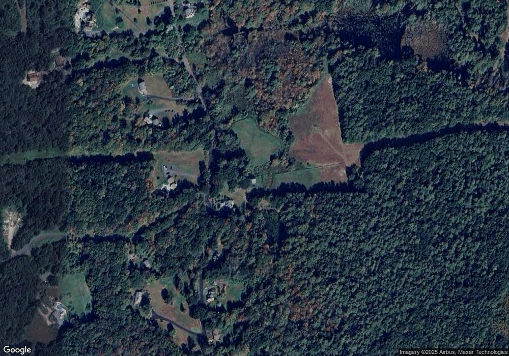
Map
Nearby Homes
- 179 Bumstead Rd
- 285 Lower Hampden Rd
- 0 Paradise Lake Rd
- 6 Bridge St
- Lot 16 Wood Hill Rd
- 0 Moulton Hill Rd
- 96 Stafford Hollow Rd
- 101 Cote Rd
- 0 Mccray Cir
- 1 Heritage Ln
- 150 Stafford Hollow Rd
- 21 High St
- 23 High St
- 4 Stewart Ave
- 4 Spring St
- 221 Moulton Hill Rd
- 59 St Germain Rd
- 199 Munn Rd
- 186 Upper Hampden Rd
- 155 S Monson Rd
- 152 Bumstead Rd
- 143 Bumstead Rd
- 158 Bumstead Rd
- Lot 8 & 9 Bumstead Rd
- 137 Bumstead Rd
- 162 Bumstead Rd
- 151 Bumstead Rd
- 133 Bumstead Rd
- 165 Bumstead Rd
- 166 Bumstead Rd
- 157 Bumstead Rd
- 126 Bumstead Rd
- 170 Bumstead Rd
- 123 Bumstead Rd
- 131 Bumstead Rd
- 127 Bumstead Rd
- 149 Bumstead Rd
- 171 Bumstead Rd
- 37 Old Stagecoach Dr
- 102 Bumstead Rd