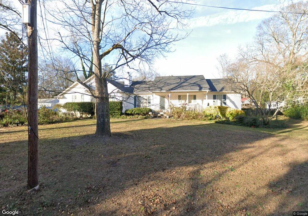
146 Burnside St Jonesboro, GA 30236
Estimated Value: $235,000 - $261,000
3
Beds
2
Baths
1,736
Sq Ft
$144/Sq Ft
Est. Value
About This Home
This home is located at 146 Burnside St, Jonesboro, GA 30236 and is currently estimated at $250,154, approximately $144 per square foot. 146 Burnside St is a home located in Clayton County with nearby schools including Suder Elementary School, Mundys Mill Middle School, and Jonesboro High School.
Ownership History
Date
Name
Owned For
Owner Type
Purchase Details
Closed on
Apr 15, 1999
Sold by
Gibbs Robert C and Gibbs Kathryn
Bought by
Brown Frank C and Brown Doris
Current Estimated Value
Home Financials for this Owner
Home Financials are based on the most recent Mortgage that was taken out on this home.
Original Mortgage
$103,000
Outstanding Balance
$25,995
Interest Rate
7%
Mortgage Type
New Conventional
Estimated Equity
$224,159
Create a Home Valuation Report for This Property
The Home Valuation Report is an in-depth analysis detailing your home's value as well as a comparison with similar homes in the area
Home Values in the Area
Average Home Value in this Area
Purchase History
| Date | Buyer | Sale Price | Title Company |
|---|---|---|---|
| Brown Frank C | $129,900 | -- |
Source: Public Records
Mortgage History
| Date | Status | Borrower | Loan Amount |
|---|---|---|---|
| Open | Brown Frank C | $103,000 |
Source: Public Records
Tax History Compared to Growth
Tax History
| Year | Tax Paid | Tax Assessment Tax Assessment Total Assessment is a certain percentage of the fair market value that is determined by local assessors to be the total taxable value of land and additions on the property. | Land | Improvement |
|---|---|---|---|---|
| 2024 | $1,899 | $107,840 | $7,200 | $100,640 |
| 2023 | $3,283 | $90,920 | $7,200 | $83,720 |
| 2022 | $1,358 | $80,560 | $7,200 | $73,360 |
| 2021 | $1,153 | $69,120 | $7,200 | $61,920 |
| 2020 | $1,020 | $61,033 | $7,200 | $53,833 |
| 2019 | $888 | $53,097 | $5,600 | $47,497 |
| 2018 | $853 | $51,425 | $5,600 | $45,825 |
| 2017 | $1,025 | $35,200 | $5,600 | $29,600 |
| 2016 | $1,025 | $35,200 | $5,600 | $29,600 |
| 2015 | $1,003 | $0 | $0 | $0 |
| 2014 | $789 | $29,825 | $5,600 | $24,225 |
Source: Public Records
Map
Nearby Homes
- 192 Cloud St
- 116 Stewart Ave
- 0 State Highway 54
- 135 Main St
- 7559 Tara Blvd
- 776 Jeb Stuart Dr
- 8857 Woodridge Ct
- 761 Robert e Lee Pkwy
- 109 Stockbridge Rd
- 181 Dean St
- 738 Dunaire Way
- 755 Dunaire Way
- 215 King St
- 657 Utoy Ct
- 242 Lake Jodeco Rd
- 8469 Shiloh Ct
- 151 Irvin St
- 8474 Magnolia Dr
- 304 Mercer Dr
- 116 Thornton Dr
- 142 Burnside St
- 150 Burnside St
- 145 College St
- 147 Burnside Unit 2 St Unit 2
- 147 Burnside Unit 2 St
- 149 Burnside St
- 145 Burnside St
- 151 College St
- 138 Burnside St
- 147 Burnside St Unit 3
- 147 Burnside St Unit 4
- 147 Burnside St Unit 1
- 147 Burnside St Unit 2
- 147 Burnside St Unit 1
- 147 Burnside St
- 139 College St
- 143 Burnside St
- 158 Burnside St
- 150 College St
- 157 Burnside St Unit B