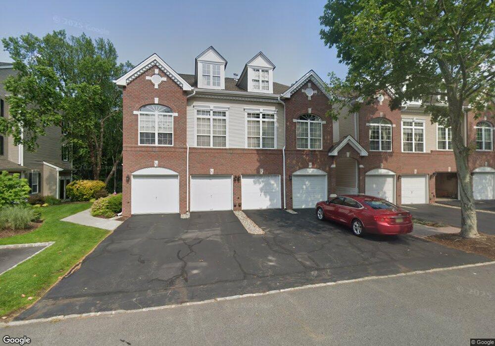
146 Carter Rd Unit B2 Haskell, NJ 07420
Estimated Value: $450,483 - $494,000
Studio
--
Bath
1,639
Sq Ft
$291/Sq Ft
Est. Value
About This Home
This home is located at 146 Carter Rd Unit B2, Haskell, NJ 07420 and is currently estimated at $476,371, approximately $290 per square foot. 146 Carter Rd Unit B2 is a home located in Passaic County with nearby schools including Lakeland Reg High School and St Marys School.
Ownership History
Date
Name
Owned For
Owner Type
Purchase Details
Closed on
Jun 25, 2019
Sold by
Breyer Janice
Bought by
Breyer Janice
Current Estimated Value
Create a Home Valuation Report for This Property
The Home Valuation Report is an in-depth analysis detailing your home's value as well as a comparison with similar homes in the area
Home Values in the Area
Average Home Value in this Area
Purchase History
| Date | Buyer | Sale Price | Title Company |
|---|---|---|---|
| Breyer Janice | -- | None Available |
Source: Public Records
Tax History
| Year | Tax Paid | Tax Assessment Tax Assessment Total Assessment is a certain percentage of the fair market value that is determined by local assessors to be the total taxable value of land and additions on the property. | Land | Improvement |
|---|---|---|---|---|
| 2025 | $9,627 | $223,200 | $65,000 | $158,200 |
| 2024 | $9,185 | $223,200 | $65,000 | $158,200 |
| 2022 | $9,236 | $223,200 | $65,000 | $158,200 |
| 2021 | $9,035 | $223,200 | $65,000 | $158,200 |
| 2020 | $8,935 | $223,200 | $65,000 | $158,200 |
| 2019 | $8,720 | $223,200 | $65,000 | $158,200 |
| 2018 | $8,549 | $223,200 | $65,000 | $158,200 |
| 2017 | $8,348 | $223,200 | $65,000 | $158,200 |
| 2016 | $8,142 | $223,200 | $65,000 | $158,200 |
| 2015 | $8,026 | $223,200 | $65,000 | $158,200 |
| 2014 | $7,868 | $223,200 | $65,000 | $158,200 |
Source: Public Records
Map
Nearby Homes
- 59 Carter Rd Unit A2
- 30 Decker Rd
- 72 Burnside Place
- 19 Dogwood Ln Unit 19
- 19 Dogwood Ln Unit U9F
- 23 Dogwood Ln
- 36 Elston Ct
- 22 Wanaque Ave
- 9116 Warrens Way Unit 116
- 9116 Warrens Way
- 5 Storms Place
- 1025 Ringwood Ave
- 17 Locust St
- 8212 Warrens Way
- 9411 Warrens Way
- 8415 Warrens Way
- 10323 Warrens Way
- 10123 Warrens Way
- 1099 Ringwood Ave
- 1101 Ringwood Ave
- 150 Carter Rd
- 148 Carter Rd
- 154 Carter Rd Unit D2
- 144 Carter Rd Unit B1
- 152 Carter Rd
- 140 Carter Rd
- 142 Carter Rd
- 158 Carter Rd Unit E2
- 156 Carter Rd
- 162 Carter Rd
- 160 Carter Rd
- 136 Carter Rd Unit H1
- 166 Carter Rd
- 138 Carter Rd Unit H2
- 164 Carter Rd
- 132 Carter Rd Unit G1
- 170 Carter Rd Unit H2
- 134 Carter Rd
- 168 Carter Rd Unit H1
- 128 Carter Rd
Your Personal Tour Guide
Ask me questions while you tour the home.