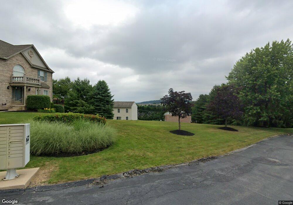
146 Chandler Dr Unit 146F Red Lion, PA 17356
Estimated Value: $251,000 - $289,000
3
Beds
3
Baths
2,154
Sq Ft
$122/Sq Ft
Est. Value
About This Home
This home is located at 146 Chandler Dr Unit 146F, Red Lion, PA 17356 and is currently estimated at $262,509, approximately $121 per square foot. 146 Chandler Dr Unit 146F is a home located in York County with nearby schools including Larry J. Macaluso Elementary School, Red Lion Area Junior High School, and Red Lion Area Senior High School.
Ownership History
Date
Name
Owned For
Owner Type
Purchase Details
Closed on
Sep 30, 2004
Sold by
Mallonee Paul D
Bought by
Knott Terri A and Knott Lillian E
Current Estimated Value
Home Financials for this Owner
Home Financials are based on the most recent Mortgage that was taken out on this home.
Original Mortgage
$142,500
Interest Rate
5.81%
Mortgage Type
Purchase Money Mortgage
Purchase Details
Closed on
May 24, 2000
Sold by
Mallonee Paul D and Mallonee Charlotte A
Bought by
Mallonee Paul D
Purchase Details
Closed on
Apr 24, 1998
Sold by
Lombard Pines Ltd Partnership
Bought by
Mallonee Paul D and Mallonee Charlotte A
Home Financials for this Owner
Home Financials are based on the most recent Mortgage that was taken out on this home.
Original Mortgage
$104,300
Interest Rate
7%
Create a Home Valuation Report for This Property
The Home Valuation Report is an in-depth analysis detailing your home's value as well as a comparison with similar homes in the area
Home Values in the Area
Average Home Value in this Area
Purchase History
| Date | Buyer | Sale Price | Title Company |
|---|---|---|---|
| Knott Terri A | $142,500 | -- | |
| Mallonee Paul D | -- | -- | |
| Mallonee Paul D | $130,430 | -- |
Source: Public Records
Mortgage History
| Date | Status | Borrower | Loan Amount |
|---|---|---|---|
| Previous Owner | Knott Terri A | $142,500 | |
| Previous Owner | Mallonee Paul D | $104,300 |
Source: Public Records
Tax History Compared to Growth
Tax History
| Year | Tax Paid | Tax Assessment Tax Assessment Total Assessment is a certain percentage of the fair market value that is determined by local assessors to be the total taxable value of land and additions on the property. | Land | Improvement |
|---|---|---|---|---|
| 2025 | $4,430 | $141,720 | $0 | $141,720 |
| 2024 | $4,256 | $141,720 | $0 | $141,720 |
| 2023 | $4,256 | $141,720 | $0 | $141,720 |
| 2022 | $4,256 | $141,720 | $0 | $141,720 |
| 2021 | $4,135 | $141,720 | $0 | $141,720 |
| 2020 | $4,135 | $141,720 | $0 | $141,720 |
| 2019 | $4,121 | $141,720 | $0 | $141,720 |
| 2018 | $4,100 | $141,720 | $0 | $141,720 |
| 2017 | $4,064 | $141,720 | $0 | $141,720 |
| 2016 | $0 | $141,720 | $0 | $141,720 |
| 2015 | -- | $141,720 | $0 | $141,720 |
| 2014 | -- | $141,720 | $0 | $141,720 |
Source: Public Records
Map
Nearby Homes
- 44 Hunters Run Ct Unit 8
- 60 Indian Springs Rd
- 306 Mohawk Dr
- 0 Cape Horn Rd
- 3366 Cape Horn Rd
- 1012 Woodridge Rd
- 27 Steeple Ave
- 375 Barclay Dr
- 325 Barclay Dr
- 214 Equine Cove Unit 214
- 137 Furlong Way
- 6 Hudson Blvd
- The Ivory II Plan at Hudson Ridge
- The Ivory I Plan at Hudson Ridge
- 114 Heather Glen Dr
- 415 N Main St
- 234 Hudson Blvd
- 141 W Water St
- 350 Avon Dr Unit 270
- 74 S Main St
- 137 Kathryn Dr
- 155 Chandler Dr Unit 155G
- 154 Chandler Dr Unit 154G
- 153 Chandler Dr Unit 153G
- 151 Chandler Dr Unit 151G
- 149 Chandler Dr Unit 149G
- 148 Chandler Dr Unit 148G
- 147 Chandler Dr Unit 147E
- 145 Chandler Dr Unit 145F
- 144 Chandler Dr Unit 144F
- 143 Chandler Dr Unit 143F
- 142 Chandler Dr Unit 142F
- 141 Chandler Dr Unit 141F
- 140 Chandler Dr
- 139 Kathryn Dr Unit 139E
- 138 Kathryn Dr Unit 138E
- 137 Kathryn Dr Unit 137E
- 136 Kathryn Dr Unit 136E
- 135 Kathryn Dr Unit 135E