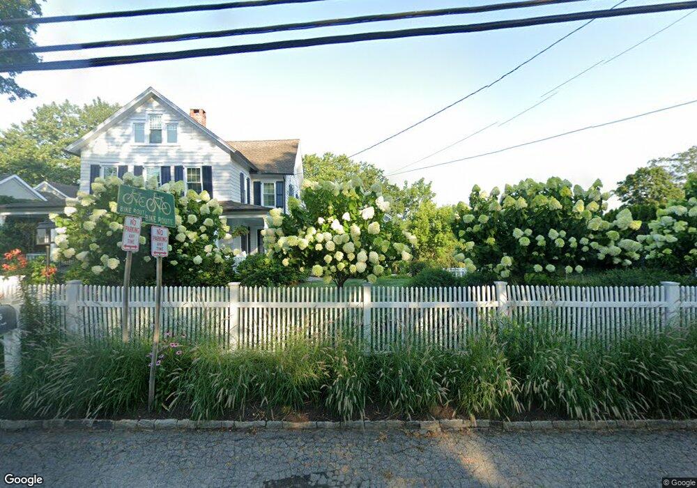
146 Compo Rd S Westport, CT 06880
Westport Village NeighborhoodEstimated Value: $1,865,183 - $2,041,000
4
Beds
3
Baths
2,794
Sq Ft
$690/Sq Ft
Est. Value
About This Home
This home is located at 146 Compo Rd S, Westport, CT 06880 and is currently estimated at $1,926,546, approximately $689 per square foot. 146 Compo Rd S is a home located in Fairfield County with nearby schools including Saugatuck Elementary School, Bedford Middle School, and Staples High School.
Ownership History
Date
Name
Owned For
Owner Type
Purchase Details
Closed on
Jul 21, 2021
Sold by
Piekara Thomas P and Piekara Teresa G
Bought by
Pistor Andrew and Bonte Benjamin
Current Estimated Value
Purchase Details
Closed on
Jun 12, 1996
Sold by
Bunting James
Bought by
Piekara Thomas and Piekara Teresa
Home Financials for this Owner
Home Financials are based on the most recent Mortgage that was taken out on this home.
Original Mortgage
$257,600
Interest Rate
8.13%
Mortgage Type
Unknown
Create a Home Valuation Report for This Property
The Home Valuation Report is an in-depth analysis detailing your home's value as well as a comparison with similar homes in the area
Home Values in the Area
Average Home Value in this Area
Purchase History
| Date | Buyer | Sale Price | Title Company |
|---|---|---|---|
| Pistor Andrew | $1,400,000 | None Available | |
| Pistor Andrew | $1,400,000 | None Available | |
| Piekara Thomas | $322,000 | -- | |
| Piekara Thomas | $322,000 | -- |
Source: Public Records
Mortgage History
| Date | Status | Borrower | Loan Amount |
|---|---|---|---|
| Previous Owner | Piekara Thomas | $214,000 | |
| Previous Owner | Piekara Thomas | $288,000 | |
| Previous Owner | Piekara Thomas | $300,000 | |
| Previous Owner | Piekara Thomas | $257,600 |
Source: Public Records
Tax History
| Year | Tax Paid | Tax Assessment Tax Assessment Total Assessment is a certain percentage of the fair market value that is determined by local assessors to be the total taxable value of land and additions on the property. | Land | Improvement |
|---|---|---|---|---|
| 2025 | $12,383 | $656,600 | $345,200 | $311,400 |
| 2024 | $12,226 | $656,600 | $345,200 | $311,400 |
| 2023 | $12,049 | $656,600 | $345,200 | $311,400 |
| 2022 | $11,865 | $656,600 | $345,200 | $311,400 |
| 2021 | $11,865 | $656,600 | $345,200 | $311,400 |
| 2020 | $11,552 | $691,300 | $364,100 | $327,200 |
| 2019 | $11,655 | $691,300 | $364,100 | $327,200 |
| 2018 | $11,655 | $691,300 | $364,100 | $327,200 |
| 2017 | $11,655 | $691,300 | $364,100 | $327,200 |
| 2016 | $11,655 | $691,300 | $364,100 | $327,200 |
| 2015 | $10,252 | $566,700 | $265,900 | $300,800 |
| 2014 | $10,167 | $566,700 | $265,900 | $300,800 |
Source: Public Records
Map
Nearby Homes
- 3 Laurel Ln
- 5 Franklin Ave
- 7 Hale St
- 23 Bridge St
- 102 Compo Rd S
- 23 Harborview Rd
- 79 Riverside Ave
- 11 Dogwood Ln
- 32 Narrow Rocks Rd
- 31 Franklin St
- 5 Inwood Ln
- 49 Hillspoint Rd
- 503 Bradley Ln Unit 503
- 26 Treadwell Ave
- 21 Rayfield Rd
- 150 Hillspoint Rd
- 24 Edgemarth Hill Rd
- 11 Manitou Ct
- 50 Kings Hwy S
- 24 Compo Pkwy
- 148 Compo Rd S
- 150 Compo Rd S
- 145 Compo Rd S
- 144 Compo Rd S
- 11 Sandhopper Trail
- 149 Compo Rd S
- ONE Mortar Rock Rd
- 9 Sandhopper Trail
- 142 Compo Rd S
- 15 Sandhopper Trail
- 2 Farmer Rd
- 143 Compo Rd S
- 12 Sandhopper Trail
- 151 Compo Rd S
- 7 Sandhopper Trail
- 1 Mansfield Place
- 140 Compo Rd S
- 2 Mansfield Place
- 10 Sandhopper Trail
Your Personal Tour Guide
Ask me questions while you tour the home.