146 Copper Mill Rd Dahlonega, GA 30533
Estimated Value: $484,000 - $654,000
3
Beds
2
Baths
2,661
Sq Ft
$209/Sq Ft
Est. Value
About This Home
This home is located at 146 Copper Mill Rd, Dahlonega, GA 30533 and is currently estimated at $557,250, approximately $209 per square foot. 146 Copper Mill Rd is a home with nearby schools including Clay County Middle School and Lumpkin County High School.
Ownership History
Date
Name
Owned For
Owner Type
Purchase Details
Closed on
Jun 16, 2004
Sold by
Moore R Gregory
Bought by
Gil De Rubio F and Robertson Bonnie L
Current Estimated Value
Purchase Details
Closed on
Jan 15, 1999
Sold by
Wimpy Al J
Bought by
Moore R Gregory
Purchase Details
Closed on
Feb 1, 1998
Sold by
Wimpy Al J
Bought by
Wimpy Al J
Purchase Details
Closed on
May 26, 1989
Sold by
Wimpy Al J
Bought by
Wimpy Al J
Purchase Details
Closed on
May 9, 1988
Sold by
Lunsford Everett T
Bought by
Wimpy Al J
Purchase Details
Closed on
Mar 6, 1988
Bought by
Lunsford Everett T
Create a Home Valuation Report for This Property
The Home Valuation Report is an in-depth analysis detailing your home's value as well as a comparison with similar homes in the area
Home Values in the Area
Average Home Value in this Area
Purchase History
| Date | Buyer | Sale Price | Title Company |
|---|---|---|---|
| Gil De Rubio F | $35,000 | -- | |
| Moore R Gregory | $15,200 | -- | |
| Wimpy Al J | -- | -- | |
| Wimpy Al J | -- | -- | |
| Wimpy Al J | -- | -- | |
| Lunsford Everett T | -- | -- |
Source: Public Records
Tax History Compared to Growth
Tax History
| Year | Tax Paid | Tax Assessment Tax Assessment Total Assessment is a certain percentage of the fair market value that is determined by local assessors to be the total taxable value of land and additions on the property. | Land | Improvement |
|---|---|---|---|---|
| 2024 | $1,302 | $170,788 | $13,560 | $157,228 |
| 2023 | $880 | $160,477 | $13,560 | $146,917 |
| 2022 | $1,181 | $151,351 | $9,204 | $142,147 |
| 2021 | $602 | $127,968 | $9,204 | $118,764 |
| 2020 | $578 | $124,656 | $9,204 | $115,452 |
| 2019 | $595 | $124,656 | $9,204 | $115,452 |
| 2018 | $488 | $110,269 | $9,204 | $101,065 |
| 2017 | $439 | $104,220 | $9,204 | $95,016 |
| 2016 | $365 | $95,930 | $9,204 | $86,726 |
| 2015 | $278 | $95,930 | $9,204 | $86,726 |
| 2014 | $278 | $96,883 | $9,204 | $87,679 |
| 2013 | -- | $97,836 | $9,204 | $88,632 |
Source: Public Records
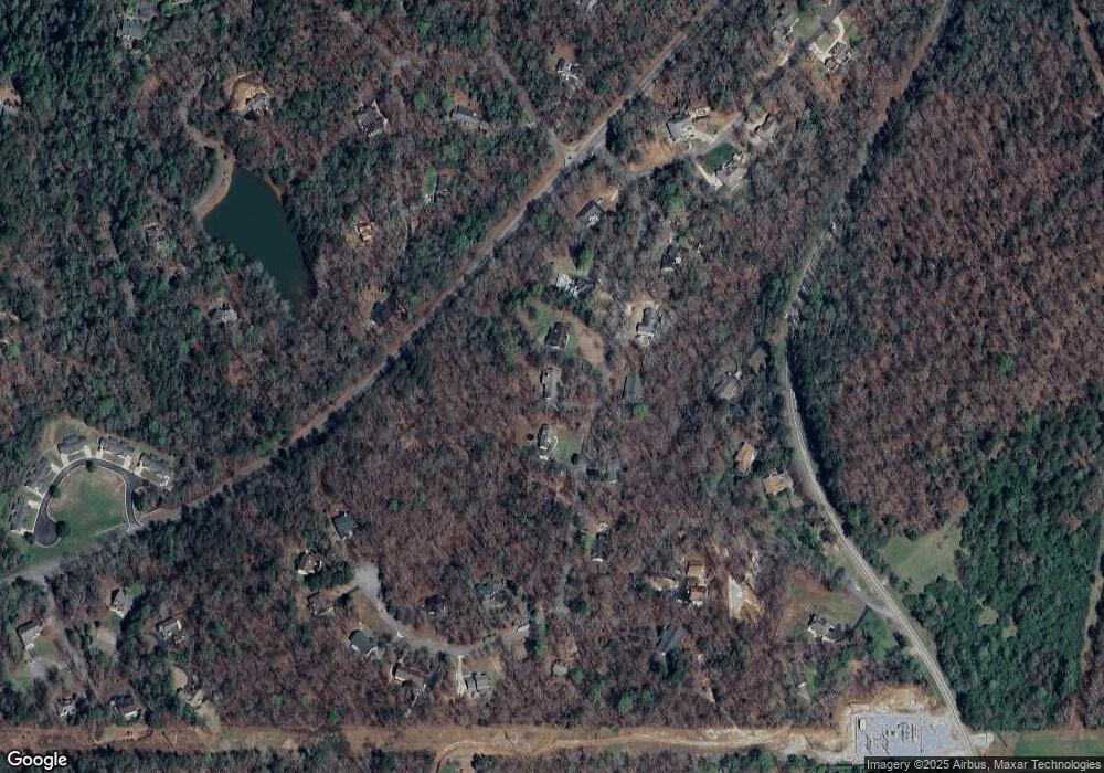
Map
Nearby Homes
- 380 Copper Mill Rd
- 202 Indian Trail
- 128 Young Deer Dr
- 87 Tolleffs Trail
- 0 Arborwood Dr Unit 10645890
- 83 Austin Ct
- 45 Chestatee River Ridge
- 6480 Highway 52 W
- 86.99 Acres Mincie Mountain
- 16 Welch Cir
- 600 Chapman Ridge Ln
- 500 Chapman Ridge Ln
- 27.68 Chapman Ridge Ln
- 23.86 Acres Mincie Mountain
- 20.65 Acres Mincie Mountain
- 42.65 Acres Mincie Mountain
- 24 Copper Mill Rd
- 90 Copper Mill Rd
- 144 Copper Mill Rd
- 57 Copper Mill Rd
- 115 Copper Mill Rd
- 388 Copper Mill Rd Unit TRACT A
- 388 Copper Mill Rd
- 139 Copper Mill Rd
- 81 Lake Point Dr
- 0 Lake Point Dr Unit 53 7400341
- 0 Lake Point Dr Unit 53 7526997
- 0 Lake Point Dr Unit 53 8077250
- 0 Lake Point Dr Unit 53 8079064
- 0 Lake Point Dr Unit 53 8117608
- 0 Lake Point Dr Unit 56 8166855
- 0 Lake Point Dr Unit 56 8166854
- 0 Lake Point Dr
- 0 Lake Point Dr Unit 10235617
- 0 Lake Point Dr Unit 10184423
- 0 Lake Point Dr Unit 7250946