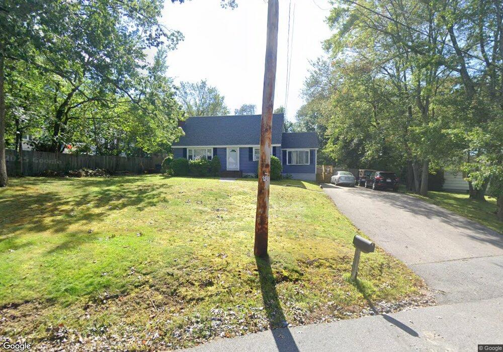
146 Cotuit St North Andover, MA 01845
Estimated Value: $682,000 - $860,000
3
Beds
3
Baths
2,324
Sq Ft
$330/Sq Ft
Est. Value
About This Home
This home is located at 146 Cotuit St, North Andover, MA 01845 and is currently estimated at $767,229, approximately $330 per square foot. 146 Cotuit St is a home located in Essex County with nearby schools including Franklin Elementary School, North Andover Middle School, and North Andover High School.
Ownership History
Date
Name
Owned For
Owner Type
Purchase Details
Closed on
Jul 23, 1993
Sold by
Jones Frederick P
Bought by
Iannone Diane M
Current Estimated Value
Home Financials for this Owner
Home Financials are based on the most recent Mortgage that was taken out on this home.
Original Mortgage
$136,800
Interest Rate
7.43%
Mortgage Type
Purchase Money Mortgage
Create a Home Valuation Report for This Property
The Home Valuation Report is an in-depth analysis detailing your home's value as well as a comparison with similar homes in the area
Home Values in the Area
Average Home Value in this Area
Purchase History
| Date | Buyer | Sale Price | Title Company |
|---|---|---|---|
| Iannone Diane M | $152,000 | -- |
Source: Public Records
Mortgage History
| Date | Status | Borrower | Loan Amount |
|---|---|---|---|
| Open | Iannone Diane M | $100,000 | |
| Closed | Iannone Diane M | $165,000 | |
| Closed | Iannone Diane M | $136,800 |
Source: Public Records
Tax History Compared to Growth
Tax History
| Year | Tax Paid | Tax Assessment Tax Assessment Total Assessment is a certain percentage of the fair market value that is determined by local assessors to be the total taxable value of land and additions on the property. | Land | Improvement |
|---|---|---|---|---|
| 2025 | $6,641 | $589,800 | $304,300 | $285,500 |
| 2024 | $5,792 | $522,300 | $286,400 | $235,900 |
| 2023 | $5,692 | $465,000 | $263,200 | $201,800 |
| 2022 | $5,627 | $415,900 | $236,300 | $179,600 |
| 2021 | $5,589 | $394,400 | $214,800 | $179,600 |
| 2020 | $5,323 | $387,400 | $214,800 | $172,600 |
| 2019 | $5,195 | $387,400 | $214,800 | $172,600 |
| 2018 | $5,629 | $387,400 | $214,800 | $172,600 |
| 2017 | $5,045 | $353,300 | $179,200 | $174,100 |
| 2016 | $4,970 | $348,300 | $175,800 | $172,500 |
| 2015 | $4,757 | $330,600 | $169,800 | $160,800 |
Source: Public Records
Map
Nearby Homes
- 97 Cotuit St Unit 1
- 86 Kingston St Unit 86
- 44 Kingston St Unit 44
- 2 Kingston St Unit 2
- 170 Haverhill St Unit 138
- 170 Haverhill St Unit 129
- 13 Kingston St Unit 94
- 51 Village Green Dr
- 190 Chickering Rd Unit 204D
- 190 Chickering Rd Unit 201D
- 180 Chickering Rd Unit 204C
- 180 Chickering Rd Unit 107C
- 37 Stirling St
- 75 Edgelawn Ave Unit 2
- 58 Berkeley Rd
- 51 Dufton Rd
- 133 Autran Ave
- 52 Fernview Ave Unit 7
- 74 Hewitt Ave
- 40 Fernview Ave Unit 11
- 154 Cotuit St
- 20 Enfield St
- 18 Enfield St
- 25 Enfield St
- 25 Enfield St Unit 1
- 25 Enfield St Unit A
- 134 Cotuit St
- 19 Enfield St
- 2 Enfield St
- 149 Cotuit St
- 139 Cotuit St
- 26 Dartmouth St
- 24 Dartmouth St Unit 1
- 18 Dartmouth St
- 18 Dartmouth St Unit 1
- 122 Cotuit St
- 122 Cotuit St Unit 122
- 161 Cotuit St
- 124 Cotuit St
- 124 Cotuit St