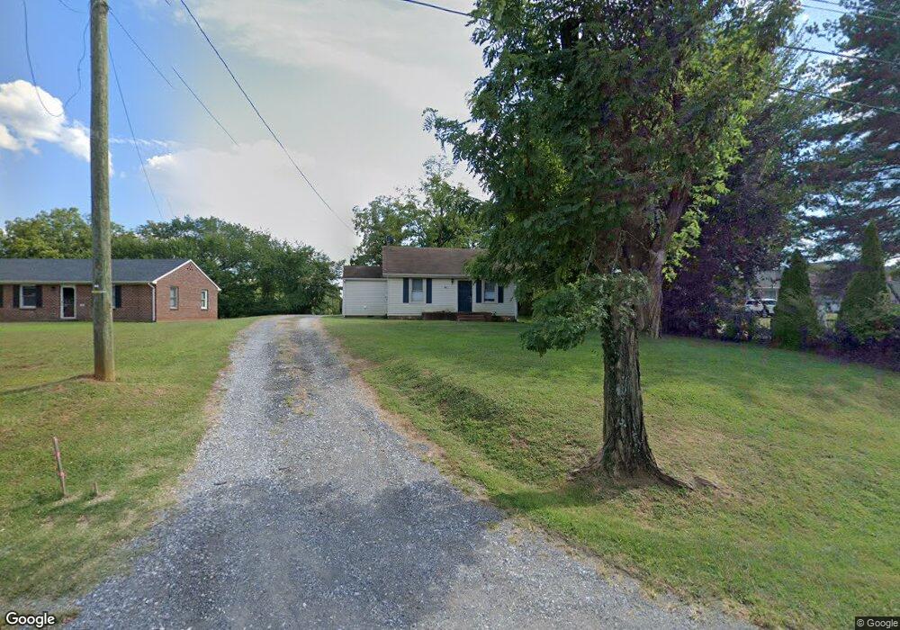
146 Dixie Airport Rd Madison Heights, VA 24572
Estimated Value: $112,000 - $207,000
2
Beds
1
Bath
860
Sq Ft
$192/Sq Ft
Est. Value
About This Home
This home is located at 146 Dixie Airport Rd, Madison Heights, VA 24572 and is currently estimated at $164,984, approximately $191 per square foot. 146 Dixie Airport Rd is a home located in Amherst County with nearby schools including Amelon Elementary School, Monelison Middle School, and Amherst County High School.
Ownership History
Date
Name
Owned For
Owner Type
Purchase Details
Closed on
Mar 1, 2021
Sold by
Price James W
Bought by
Jabc Properties Llc
Current Estimated Value
Home Financials for this Owner
Home Financials are based on the most recent Mortgage that was taken out on this home.
Original Mortgage
$150,000
Outstanding Balance
$134,464
Interest Rate
2.7%
Mortgage Type
Credit Line Revolving
Estimated Equity
$30,520
Create a Home Valuation Report for This Property
The Home Valuation Report is an in-depth analysis detailing your home's value as well as a comparison with similar homes in the area
Home Values in the Area
Average Home Value in this Area
Purchase History
| Date | Buyer | Sale Price | Title Company |
|---|---|---|---|
| Jabc Properties Llc | $303,000 | Attorney |
Source: Public Records
Mortgage History
| Date | Status | Borrower | Loan Amount |
|---|---|---|---|
| Open | Jabc Properties Llc | $150,000 |
Source: Public Records
Tax History Compared to Growth
Tax History
| Year | Tax Paid | Tax Assessment Tax Assessment Total Assessment is a certain percentage of the fair market value that is determined by local assessors to be the total taxable value of land and additions on the property. | Land | Improvement |
|---|---|---|---|---|
| 2025 | $390 | $64,000 | $17,500 | $46,500 |
| 2024 | $385 | $64,000 | $17,500 | $46,500 |
| 2023 | $390 | $64,000 | $17,500 | $46,500 |
| 2022 | $390 | $64,000 | $17,500 | $46,500 |
| 2021 | $390 | $64,000 | $17,500 | $46,500 |
| 2020 | $390 | $64,000 | $17,500 | $46,500 |
| 2019 | $404 | $66,300 | $23,500 | $42,800 |
| 2018 | $404 | $66,300 | $23,500 | $42,800 |
| 2017 | $202 | $66,300 | $23,500 | $42,800 |
| 2016 | $404 | $66,300 | $23,500 | $42,800 |
| 2015 | $371 | $66,300 | $23,500 | $42,800 |
| 2014 | $371 | $66,300 | $23,500 | $42,800 |
Source: Public Records
Map
Nearby Homes
- 505 Royal Gardens Ct
- 272 Dixie Airport Rd
- 51 Patrick Ct
- 327 Dixie Airport Rd
- 150 Glenwood Dr
- 4123 S Amherst Hwy
- 379 Winesap Rd
- 115 Morgan Rd
- 561 Oak Grove Dr
- 121 Crestwood Dr
- 0 S Amherst Hwy Unit 360067
- 0 S Amherst Hwy Unit 362100
- 0 S Amherst Hwy Unit 336267
- 0 McIvor Ln
- S Amherst Hwy
- 124-138 Cedar Gate Rd
- 687 Elon Rd
- 193 Daniels Dr
- 157 Old Country Rd
- 250 S Wood Duck Dr
- 152 Dixie Airport Rd
- 140 Dixie Airport Rd
- 156 Dixie Airport Rd
- 145 Dixie Airport Rd
- 151 Dixie Airport Rd
- 157 Dixie Airport Rd
- 161 Dixie Airport Rd
- 111 Highview Dr
- 170 Dixie Airport Rd
- 3767 S Amherst Hwy
- 26 Dixie Airport Rd
- 176 Dixie Airport Rd
- 3723 S Amherst Hwy
- 303 Royal Gardens Ct
- 604 Royal Gardens Ct
- 601 Royal Gardens Ct
- 602 Royal Gardens Ct
- 603 Royal Gardens Ct
- 3761 S Amherst Hwy