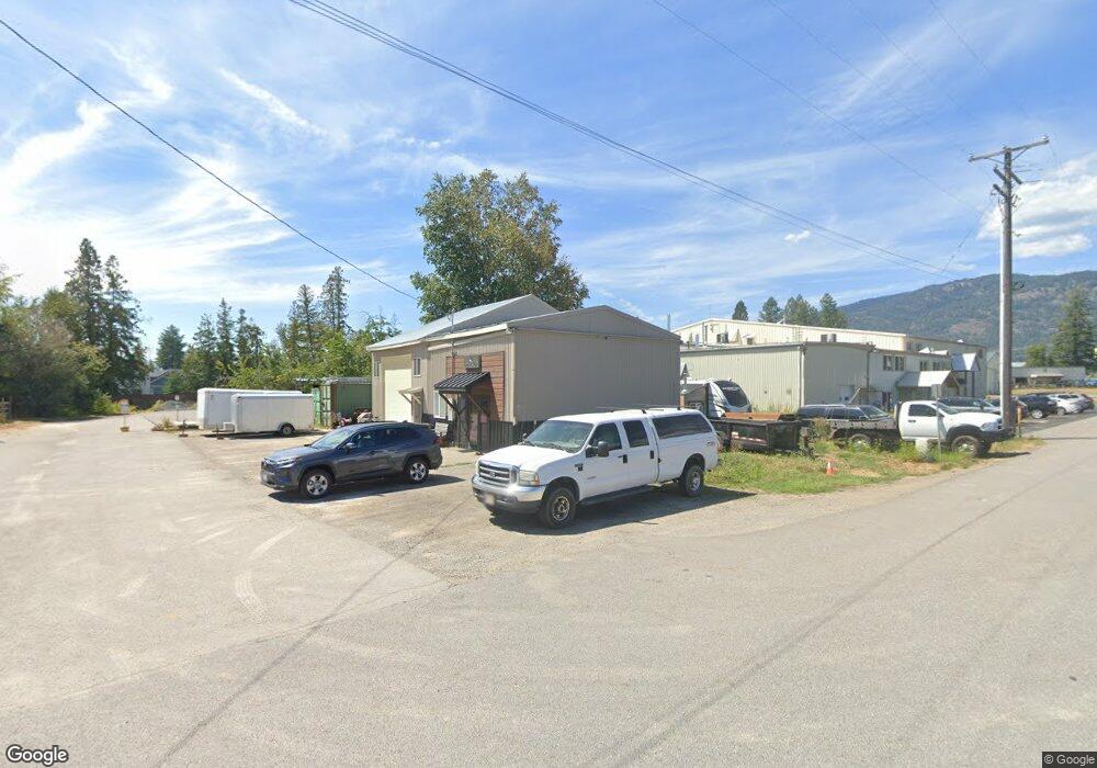
146 Emerald Industrial Park Rd Ponderay, ID 83852
--
Bed
--
Bath
1,750
Sq Ft
0.29
Acres
About This Home
This home is located at 146 Emerald Industrial Park Rd, Ponderay, ID 83852. 146 Emerald Industrial Park Rd is a home located in Bonner County with nearby schools including Kootenai Elementary School, Sandpoint Middle School, and Sandpoint High School.
Ownership History
Date
Name
Owned For
Owner Type
Purchase Details
Closed on
Jun 23, 2024
Sold by
Dodge David L and Dodge Staci J
Bought by
7B Dss Enterprises Llc
Home Financials for this Owner
Home Financials are based on the most recent Mortgage that was taken out on this home.
Original Mortgage
$270,000
Outstanding Balance
$245,645
Interest Rate
7.02%
Mortgage Type
New Conventional
Purchase Details
Closed on
Oct 20, 2017
Sold by
Graham Lloyd D
Bought by
Dodge David L and Dodge Staci J
Home Financials for this Owner
Home Financials are based on the most recent Mortgage that was taken out on this home.
Original Mortgage
$110,000
Interest Rate
3.78%
Mortgage Type
Purchase Money Mortgage
Purchase Details
Closed on
Apr 19, 2005
Sold by
Rainey Harold G and Rainey Yvette C
Bought by
Graham Lloyd D and Graham Mary D
Create a Home Valuation Report for This Property
The Home Valuation Report is an in-depth analysis detailing your home's value as well as a comparison with similar homes in the area
Home Values in the Area
Average Home Value in this Area
Purchase History
| Date | Buyer | Sale Price | Title Company |
|---|---|---|---|
| 7B Dss Enterprises Llc | -- | Flying S Title And Escrow | |
| Dodge David L | -- | North Idaho Title Co | |
| Graham Lloyd D | -- | None Available |
Source: Public Records
Mortgage History
| Date | Status | Borrower | Loan Amount |
|---|---|---|---|
| Open | 7B Dss Enterprises Llc | $270,000 | |
| Previous Owner | Dodge David L | $110,000 |
Source: Public Records
Tax History Compared to Growth
Tax History
| Year | Tax Paid | Tax Assessment Tax Assessment Total Assessment is a certain percentage of the fair market value that is determined by local assessors to be the total taxable value of land and additions on the property. | Land | Improvement |
|---|---|---|---|---|
| 2025 | $1,566 | $331,657 | $82,108 | $249,549 |
| 2024 | $1,566 | $225,686 | $41,509 | $184,177 |
| 2023 | $1,653 | $223,775 | $41,509 | $182,266 |
| 2022 | $1,640 | $207,531 | $25,265 | $182,266 |
| 2021 | $848 | $104,717 | $25,265 | $79,452 |
| 2020 | $893 | $104,717 | $25,265 | $79,452 |
| 2019 | $787 | $104,717 | $25,265 | $79,452 |
| 2018 | $680 | $67,338 | $25,265 | $42,073 |
| 2017 | $680 | $55,558 | $0 | $0 |
| 2016 | $673 | $55,558 | $0 | $0 |
| 2015 | $681 | $55,558 | $0 | $0 |
| 2014 | $637 | $70,356 | $0 | $0 |
Source: Public Records
Map
Nearby Homes
- 55 Carnelian Ave
- 357 Jasper Loop
- 296 Jasper Loop
- 303 Jasper Loop
- 50 Carnelian Ave Unit 102
- 50 Carnelian Ave
- 279 Birch
- 96 4th St
- 430 6th St
- 655 Oak Ave
- 317 Huppert Ln
- 477504 U S Route 95
- 323 Alexander Way
- 3119 Spring Creek Way
- 2310 Aspen Way
- NKA Spring Creek Way
- 318 Creekview Ct
- 116 Dustarr Ln
- LOT 2 Dustarr Ln
- LOT 10 Dustarr Ln
- 314 Carnelian Ave
- 326 Carnelian Ave
- 340 Carnelian Ave
- 288 Carnelian Ave
- 352 Carnelian Ave
- 296 Carnelian Dr
- 296 Garnet Dr
- 296 Carnelian Dr
- 185 Emerald Industrial Park Rd
- 259 Carnelian Ave
- 204 Carnelian Ave
- 202 Carnelian Ave
- 245 Carnelian Ave
- 156 Carnelian Ave
- 233 Carnelian Ave
- 195 Carnelian Ave
- 182 Carnelian Ave
- 207 Carnelian Ave
- 11 Emerald Industrial Park Rd
- 174 Carnelian Ave