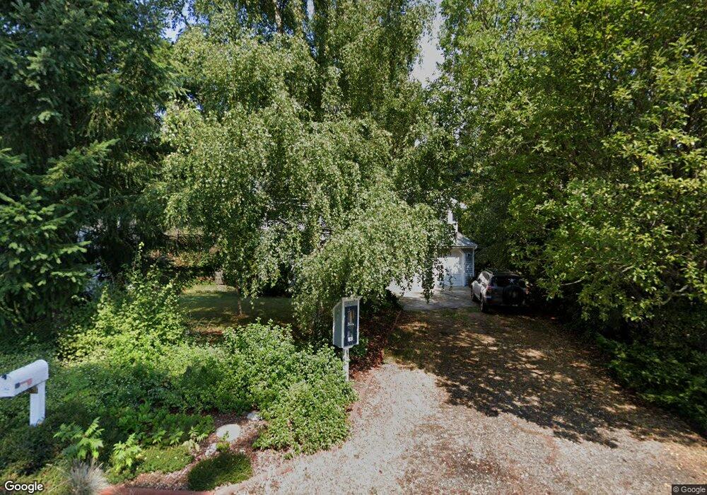
146 Fir Cir Port Hadlock, WA 98339
Port Hadlock-Irondale NeighborhoodEstimated Value: $462,000 - $566,000
3
Beds
2
Baths
1,226
Sq Ft
$417/Sq Ft
Est. Value
About This Home
This home is located at 146 Fir Cir, Port Hadlock, WA 98339 and is currently estimated at $510,737, approximately $416 per square foot. 146 Fir Cir is a home located in Jefferson County with nearby schools including Chimacum Creek Primary School, Chimacum School Pi Program, and Chimacum Elementary School.
Create a Home Valuation Report for This Property
The Home Valuation Report is an in-depth analysis detailing your home's value as well as a comparison with similar homes in the area
Home Values in the Area
Average Home Value in this Area
Tax History Compared to Growth
Tax History
| Year | Tax Paid | Tax Assessment Tax Assessment Total Assessment is a certain percentage of the fair market value that is determined by local assessors to be the total taxable value of land and additions on the property. | Land | Improvement |
|---|---|---|---|---|
| 2024 | $3,254 | $431,639 | $99,750 | $331,889 |
| 2023 | $3,254 | $406,803 | $90,000 | $316,803 |
| 2022 | $2,938 | $354,634 | $85,000 | $269,634 |
| 2021 | $2,898 | $326,361 | $76,700 | $249,661 |
| 2020 | $2,667 | $302,628 | $70,800 | $231,828 |
| 2019 | $2,419 | $269,978 | $64,900 | $205,078 |
| 2018 | $2,651 | $246,245 | $59,000 | $187,245 |
| 2017 | $2,145 | $237,329 | $59,000 | $178,329 |
| 2016 | $2,144 | $204,197 | $54,000 | $150,197 |
| 2015 | $2,168 | $204,197 | $54,000 | $150,197 |
| 2014 | -- | $209,597 | $59,400 | $150,197 |
| 2013 | -- | $190,545 | $54,000 | $136,545 |
Source: Public Records
Map
Nearby Homes
- 31 2nd St
- 90 Foster St
- 54 May St
- 51 Thomas Dr
- 121 S 7th Ave
- 611 Cedar Ave Unit 62
- 611 Cedar Ave Unit 51
- 611 Cedar Ave Unit 33
- 781 Irondale Rd
- 0 E Eugene St
- 1210 Irondale Rd
- 191 Ness' Corner Rd
- 371 E Price St
- 0 NKA C St
- 103 Hunt Rd
- 52 E Moore St
- 0 901024068 Unit NWM2387187
- 63 W Moore St
- 13 Loretta Ln
- 12 Loretta Ln