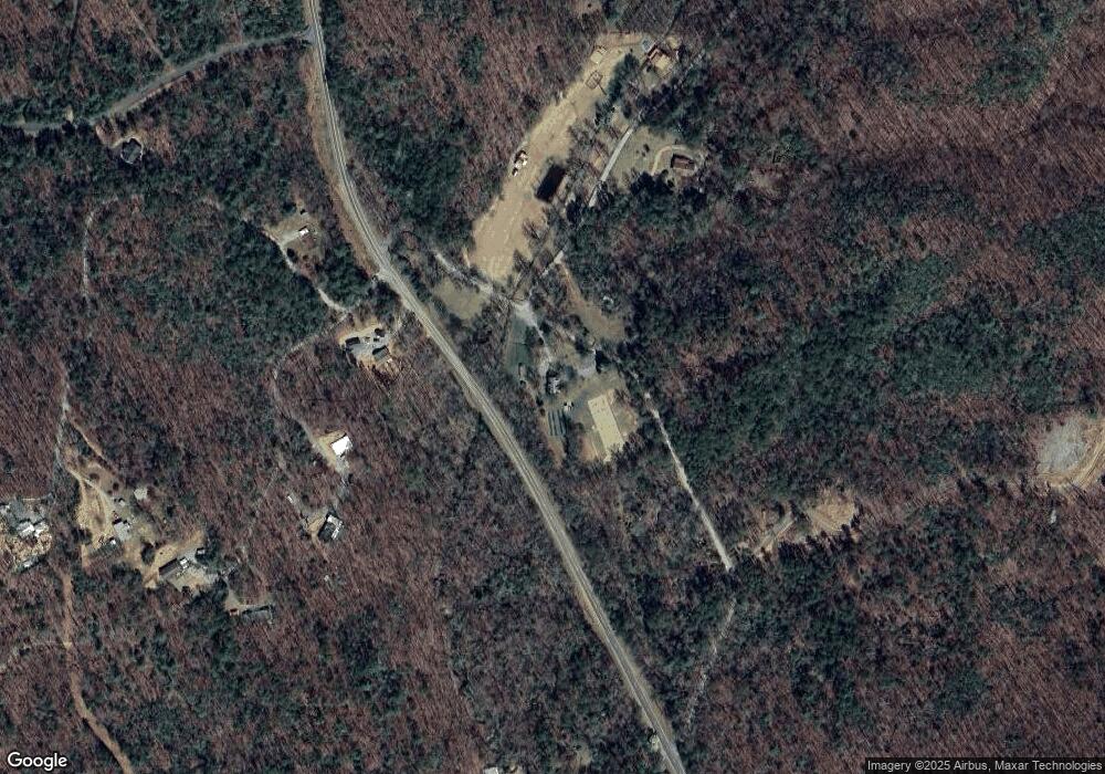
146 Garrett Branch Cir Ellijay, GA 30536
Estimated Value: $523,716 - $725,000
3
Beds
2
Baths
2,585
Sq Ft
$239/Sq Ft
Est. Value
About This Home
This home is located at 146 Garrett Branch Cir, Ellijay, GA 30536 and is currently estimated at $617,679, approximately $238 per square foot. 146 Garrett Branch Cir is a home with nearby schools including Ellijay Elementary School, Clear Creek Elementary School, and Gilmer Middle School.
Ownership History
Date
Name
Owned For
Owner Type
Purchase Details
Closed on
Aug 15, 2016
Sold by
Price Gary E
Bought by
Tencher Brian P and Tencher Hope J
Current Estimated Value
Purchase Details
Closed on
Sep 5, 2003
Sold by
Mccurley Timothy D
Bought by
Price Gary E
Purchase Details
Closed on
Feb 28, 2003
Sold by
Mccurley John M
Bought by
Mccurley Timothy D
Create a Home Valuation Report for This Property
The Home Valuation Report is an in-depth analysis detailing your home's value as well as a comparison with similar homes in the area
Home Values in the Area
Average Home Value in this Area
Purchase History
| Date | Buyer | Sale Price | Title Company |
|---|---|---|---|
| Tencher Brian P | $238,900 | -- | |
| Price Gary E | $129,000 | -- | |
| Mccurley Timothy D | -- | -- |
Source: Public Records
Tax History Compared to Growth
Tax History
| Year | Tax Paid | Tax Assessment Tax Assessment Total Assessment is a certain percentage of the fair market value that is determined by local assessors to be the total taxable value of land and additions on the property. | Land | Improvement |
|---|---|---|---|---|
| 2024 | $1,843 | $154,860 | $24,920 | $129,940 |
| 2023 | $1,867 | $150,980 | $21,040 | $129,940 |
| 2022 | $1,791 | $124,220 | $15,880 | $108,340 |
| 2021 | $1,758 | $103,032 | $14,520 | $88,512 |
| 2020 | $1,694 | $86,200 | $14,280 | $71,920 |
| 2019 | $1,742 | $86,200 | $14,280 | $71,920 |
| 2018 | $1,775 | $86,200 | $14,280 | $71,920 |
| 2017 | $1,693 | $70,680 | $11,320 | $59,360 |
| 2016 | $1,962 | $78,160 | $20,480 | $57,680 |
| 2015 | $2,200 | $89,240 | $38,480 | $50,760 |
| 2014 | $2,095 | $81,760 | $38,480 | $43,280 |
| 2013 | -- | $84,600 | $38,480 | $46,120 |
Source: Public Records
Map
Nearby Homes
- 34 Garrett Branch Cir
- 19.44 Mt McGruder Rd
- 28.82 Mt McGurder Rd
- 48 Mt McGurder - 48 26 Acres Rd
- 28.82 Mt McGruder Rd
- 0 Garrett Branch Cir
- 14 AC Rainbow Ridge Dr
- 9121 Roy Rd
- 108 Red Hawk Trail
- 9947 Doublehead Gap Rd
- 0 Possum Poke Rd Unit 29 10584394
- 1335 Willard Mountain Rd
- LOT 42 Squirrel Hunting Rd
- Lot 40 Squirrel Hunting Rd
- Lt 51,53 Squirrel Hunting Rd
- LT 51, 53 Squirrel Hunting Rd
- 00 Stover Creek Cove
- 989 New Liberty Rd
- LT 19 Forest Ridge Dr
- 0 Squirrel Hunting Rd Unit 10587950
- 144 Garrett Branch Cir
- 137 Rainbow Ridge Dr
- 191 Rainbow Ridge Dr
- 48 Mt McGruder Rd- 48 26 Acres
- 48.46 Mt McGruder Rd
- 48.46 Mt McGruder Rd- 48 26 Ac
- 14 AC McGruder Rd
- 78 N Garrett Branch Rd
- 52 Mt McGurder Rd
- 1.5 AC Garrett Branch Cir
- 345 5 Garrett Branch Cir
- 34.5 Garrett Branch Cir
- 8954 Doublehead Gap
- 0 Doublehead Gap Rd Unit 8374997
- 0 Doublehead Gap Rd Unit 3195415
- 0 Doublehead Gap Rd Unit 7226461
- 0 Doublehead Gap Rd Unit 105025
- 0 Doublehead Gap Rd Unit 298956
- 0 Doublehead Gap Rd Unit 228191
- 0 Doublehead Gap Rd Unit 222330
