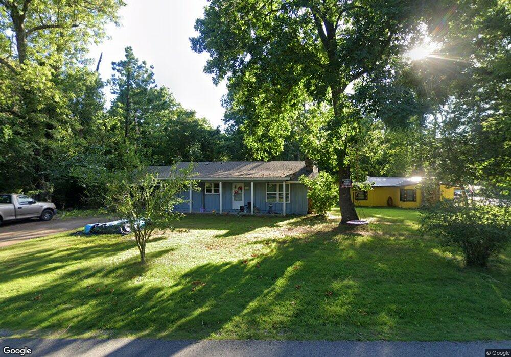
146 Hiawatha Dr Cherokee Village, AR 72529
Estimated Value: $93,355 - $136,000
--
Bed
2
Baths
1,131
Sq Ft
$102/Sq Ft
Est. Value
About This Home
This home is located at 146 Hiawatha Dr, Cherokee Village, AR 72529 and is currently estimated at $115,339, approximately $101 per square foot. 146 Hiawatha Dr is a home located in Sharp County with nearby schools including Cherokee Elementary School, Highland Middle School, and Highland High School.
Ownership History
Date
Name
Owned For
Owner Type
Purchase Details
Closed on
Mar 15, 2022
Sold by
Tate John R and Tate Barbara J
Bought by
Gonzales Louie L and Gonzales Mary D
Current Estimated Value
Purchase Details
Closed on
Feb 23, 2005
Sold by
American Land Company Llc
Bought by
Freitas Joseph M and Schales Janet L
Home Financials for this Owner
Home Financials are based on the most recent Mortgage that was taken out on this home.
Original Mortgage
$40,500
Interest Rate
5.22%
Mortgage Type
New Conventional
Create a Home Valuation Report for This Property
The Home Valuation Report is an in-depth analysis detailing your home's value as well as a comparison with similar homes in the area
Home Values in the Area
Average Home Value in this Area
Purchase History
| Date | Buyer | Sale Price | Title Company |
|---|---|---|---|
| Gonzales Louie L | $59,498 | Bray Eric | |
| Gonzales Louie L | $59,498 | Bray Eric | |
| Freitas Joseph M | $45,000 | Homestead Abstract & Title I |
Source: Public Records
Mortgage History
| Date | Status | Borrower | Loan Amount |
|---|---|---|---|
| Closed | Freitas Joseph M | $40,500 |
Source: Public Records
Tax History Compared to Growth
Tax History
| Year | Tax Paid | Tax Assessment Tax Assessment Total Assessment is a certain percentage of the fair market value that is determined by local assessors to be the total taxable value of land and additions on the property. | Land | Improvement |
|---|---|---|---|---|
| 2024 | $495 | $14,660 | $750 | $13,910 |
| 2023 | $453 | $14,660 | $750 | $13,910 |
| 2022 | $547 | $10,090 | $750 | $9,340 |
| 2021 | $547 | $10,090 | $750 | $9,340 |
| 2020 | $734 | $10,090 | $750 | $9,340 |
| 2019 | $698 | $8,930 | $750 | $8,180 |
| 2018 | $698 | $8,930 | $750 | $8,180 |
| 2017 | $338 | $8,930 | $750 | $8,180 |
| 2016 | $499 | $8,930 | $750 | $8,180 |
| 2015 | -- | $8,930 | $750 | $8,180 |
| 2014 | -- | $9,810 | $750 | $9,060 |
| 2013 | -- | $9,810 | $750 | $9,060 |
Source: Public Records
Map
Nearby Homes
- 0 Tsexeki Dr
- Lots 18-19 Sequoyah Ridge Rd
- Lot 27 Sequoyah Ridge Rd
- Lot 16 Sequoyah Ridge Rd
- Lot 15 Sequoyah Ridge Rd
- Lot 6 Sequoyah Ridge Rd
- Lot 11-3 Sequoyah Ridge Rd
- 160 Hiawatha Dr
- 130 Hiawatha Dr
- L-11 & 12, B17 Hiawatha Dr
- L10, B01 Hiawatha Dr
- 128 Hiawatha Dr
- TBD Deer Run Dr
- 0 Sioux Dr Unit 24013836
- L-30 B-1 Sioux Dr
- Lots 5-6 Hillcrest Cir
- Lot 4 Hillcrest Cir
- 0 Hillcrest Cir Unit 24029267
- TBD W Squanto Dr
- Lot 33 Hillcrest Cir
- 144 Hiawatha Dr
- 35 Dakota Dr
- 29 Dakota Dr
- 67 Sequoyah Ridge Rd
- 148 Hiawatha Dr
- 163 Hiawatha Dr
- 27 Dakota Dr
- Waco Cir
- Chama Cir
- 42 Dakota Dr
- 0 Creekside Dr Unit 21031076
- 0 Persimmon Dr Unit 21031075
- 25 Dakota Dr
- 52 Sequoyah Ridge Rd
- 140 Hiawatha Dr
- 177 Hiawatha Dr
- 152 Hiawatha Dr
- 50 Sequoyah Ridge Rd
- 0 Hiawatha Dr Unit 16023938
- 0 Hiawatha Dr Unit 24246967