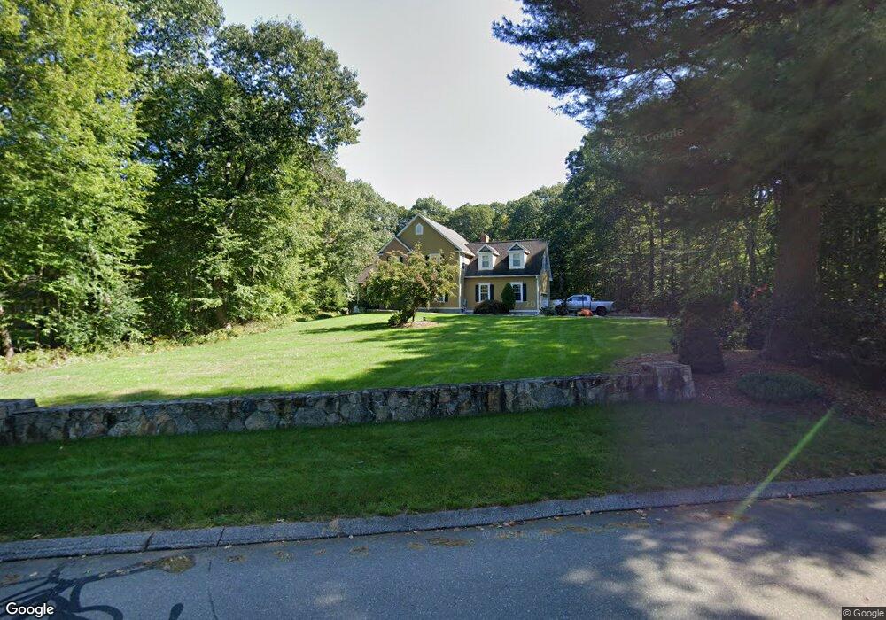
146 Highland Rd Mansfield Center, CT 06250
Estimated Value: $570,000 - $816,000
3
Beds
3
Baths
2,912
Sq Ft
$222/Sq Ft
Est. Value
About This Home
This home is located at 146 Highland Rd, Mansfield Center, CT 06250 and is currently estimated at $645,062, approximately $221 per square foot. 146 Highland Rd is a home located in Tolland County with nearby schools including Annie E. Vinton School, Mansfield Elementary School, and E.O. Smith High School.
Ownership History
Date
Name
Owned For
Owner Type
Purchase Details
Closed on
Mar 13, 2025
Sold by
Gosselin Richard P
Bought by
Gosselin Richard P and Gosselin Alicia M
Current Estimated Value
Purchase Details
Closed on
Jul 15, 1997
Sold by
Destin Assoc
Bought by
Gosselin Richard
Home Financials for this Owner
Home Financials are based on the most recent Mortgage that was taken out on this home.
Original Mortgage
$237,600
Interest Rate
7.38%
Mortgage Type
Unknown
Create a Home Valuation Report for This Property
The Home Valuation Report is an in-depth analysis detailing your home's value as well as a comparison with similar homes in the area
Home Values in the Area
Average Home Value in this Area
Purchase History
| Date | Buyer | Sale Price | Title Company |
|---|---|---|---|
| Gosselin Richard P | -- | None Available | |
| Gosselin Richard P | -- | None Available | |
| Gosselin Richard | $264,000 | -- | |
| Gosselin Richard | $264,000 | -- |
Source: Public Records
Mortgage History
| Date | Status | Borrower | Loan Amount |
|---|---|---|---|
| Previous Owner | Gosselin Richard | $62,075 | |
| Previous Owner | Gosselin Richard | $237,600 |
Source: Public Records
Tax History Compared to Growth
Tax History
| Year | Tax Paid | Tax Assessment Tax Assessment Total Assessment is a certain percentage of the fair market value that is determined by local assessors to be the total taxable value of land and additions on the property. | Land | Improvement |
|---|---|---|---|---|
| 2025 | $7,938 | $396,900 | $47,000 | $349,900 |
| 2024 | $7,694 | $252,100 | $44,200 | $207,900 |
| 2023 | $7,946 | $252,100 | $44,200 | $207,900 |
| 2022 | $7,659 | $252,100 | $44,200 | $207,900 |
| 2021 | $7,911 | $252,100 | $44,200 | $207,900 |
| 2020 | $7,911 | $252,100 | $44,200 | $207,900 |
| 2019 | $8,193 | $261,100 | $46,400 | $214,700 |
| 2018 | $8,063 | $261,100 | $46,400 | $214,700 |
| 2017 | $7,997 | $261,100 | $46,400 | $214,700 |
| 2016 | $7,799 | $261,100 | $46,400 | $214,700 |
| 2015 | $7,799 | $261,100 | $46,400 | $214,700 |
| 2014 | $7,468 | $267,190 | $55,930 | $211,260 |
Source: Public Records
Map
Nearby Homes
- 0 Oak Dr Unit LOT 33
- 58 Candide Ln
- 0 Sheffield Dr
- 00 Sheffield Dr
- 457 Stafford Rd
- 0 Mansfield City Rd Unit LOT 2
- 106 S Street Extension
- 103 S Street Extension
- 0 South St Unit 24134981
- 35 Wyllys Farm Rd
- 29 Wyllys Farm Rd
- 39 Jacobs Hill Rd
- 30 Wyllys Farm Rd
- 27 Aspen Place
- 29 Kathleen Dr Unit 5E
- 2 Pequot Square Unit 2
- 23 Liberty Dr Unit 23
- 23 Circle Dr
- 37 Wyllys Farm Rd
- 43 Wyllys Farm Rd
- 152 Highland Rd
- 138 Highland Rd
- 156 Highland Rd
- 151 Highland Rd
- 145 Highland Rd
- 141 Highland Rd
- 163 Highland Rd
- 164 Highland Rd
- 157 Highland Rd
- 172 Highland Rd
- 119 Highland Rd
- 171 Highland Rd
- 227 Stearns Rd
- 35 Woodmont Dr
- 175 Highland Rd
- 109 Highland Rd
- 15 Stone Ridge
- 107 Highland Rd
- 106 Highland Rd
- 113 Highland Rd