146 Ledford Farm Ln Winston Salem, NC 27107
Estimated Value: $572,230 - $752,000
3
Beds
2
Baths
6,102
Sq Ft
$106/Sq Ft
Est. Value
About This Home
This home is located at 146 Ledford Farm Ln, Winston Salem, NC 27107 and is currently estimated at $647,058, approximately $106 per square foot. 146 Ledford Farm Ln is a home located in Davidson County with nearby schools including Wallburg Elementary School, Oak Grove Middle School, and Oak Grove High School.
Ownership History
Date
Name
Owned For
Owner Type
Purchase Details
Closed on
Aug 17, 2005
Sold by
Shaver Don C and Shaver Jane B
Bought by
Lanier Barry A and Lanier Sue W
Current Estimated Value
Home Financials for this Owner
Home Financials are based on the most recent Mortgage that was taken out on this home.
Original Mortgage
$49,410
Outstanding Balance
$25,805
Interest Rate
5.57%
Mortgage Type
Unknown
Estimated Equity
$621,253
Create a Home Valuation Report for This Property
The Home Valuation Report is an in-depth analysis detailing your home's value as well as a comparison with similar homes in the area
Home Values in the Area
Average Home Value in this Area
Purchase History
| Date | Buyer | Sale Price | Title Company |
|---|---|---|---|
| Lanier Barry A | $55,000 | None Available |
Source: Public Records
Mortgage History
| Date | Status | Borrower | Loan Amount |
|---|---|---|---|
| Open | Lanier Barry A | $49,410 |
Source: Public Records
Tax History Compared to Growth
Tax History
| Year | Tax Paid | Tax Assessment Tax Assessment Total Assessment is a certain percentage of the fair market value that is determined by local assessors to be the total taxable value of land and additions on the property. | Land | Improvement |
|---|---|---|---|---|
| 2025 | $2,466 | $379,400 | $0 | $0 |
| 2024 | $2,392 | $379,400 | $0 | $0 |
| 2023 | $2,407 | $376,080 | $0 | $0 |
| 2022 | $2,371 | $376,080 | $0 | $0 |
| 2021 | $2,371 | $376,080 | $0 | $0 |
| 2020 | $2,164 | $343,230 | $0 | $0 |
| 2019 | $2,197 | $343,230 | $0 | $0 |
| 2018 | $2,197 | $343,230 | $0 | $0 |
| 2017 | $2,197 | $343,230 | $0 | $0 |
| 2016 | $2,197 | $343,230 | $0 | $0 |
| 2015 | $2,197 | $343,230 | $0 | $0 |
| 2014 | $2,280 | $356,320 | $0 | $0 |
Source: Public Records
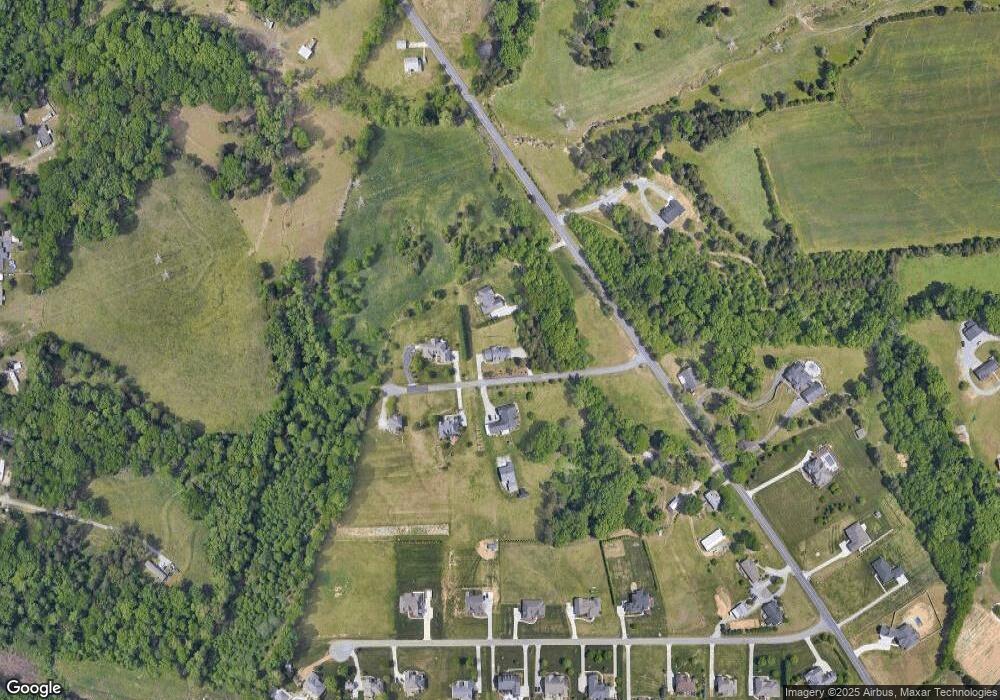
Map
Nearby Homes
- 144 Westbridge Rd
- 282 Heatherwood Dr
- 447 Wentworth Dr
- 153 Turtle Bay Ct
- 126 Castle Pond Dr
- 353 St James Dr
- 470 Prescott Dr
- 380 Olde Lantern Dr
- 312 Olde Lantern Dr
- 386 Olde Lantern Dr
- 298 Olde Lantern Dr
- 270 Olde Lantern Dr
- 387 Olde Lantern Dr
- 309 Olde Lantern Dr
- 134 New Forest Dr
- 150 New Forest Dr
- 168 New Forest Dr
- 330 Old Heritage Dr
- 221 Green Forest Ct
- 213 Red Hawk Ln
- 5755 Friendship Ledford Rd
- 145 Ledford Farm Ln
- 222 Ledford Farm Ln
- 211 Ledford Farm Ln
- 243 Ledford Farm Ln
- 5750 Friendship Ledford Rd
- 280 Act Dr
- 354 Act Dr
- 312 Act Dr
- 216 Act Dr
- 5631 Friendship Ledford Rd
- 5947 Friendship Ledford Rd
- 388 Act Dr
- 5585 Friendship Ledford Rd
- 5636 Friendship Ledford Rd
- 5600 Friendship Ledford Rd
- 295 Act Dr
- 323 Act Dr
- 267 Act Dr
- 351 Act Dr