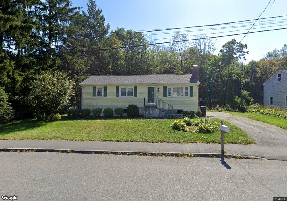
146 Leoleis Dr Marlborough, MA 01752
Estimated Value: $511,834 - $651,000
4
Beds
2
Baths
1,056
Sq Ft
$536/Sq Ft
Est. Value
About This Home
This home is located at 146 Leoleis Dr, Marlborough, MA 01752 and is currently estimated at $565,709, approximately $535 per square foot. 146 Leoleis Dr is a home located in Middlesex County with nearby schools including Marlborough High School, Advanced Math & Science Academy, and New Covenant Christian School.
Ownership History
Date
Name
Owned For
Owner Type
Purchase Details
Closed on
Apr 30, 2003
Sold by
Wilson Vicki Lynn and Wilson Alexander L
Bought by
Lanz Sabrina K
Current Estimated Value
Home Financials for this Owner
Home Financials are based on the most recent Mortgage that was taken out on this home.
Original Mortgage
$208,000
Outstanding Balance
$90,598
Interest Rate
5.82%
Mortgage Type
Purchase Money Mortgage
Estimated Equity
$475,111
Purchase Details
Closed on
Jul 30, 1991
Sold by
Feeney Allen R and Feeney Edith M
Bought by
Wilson Alexander L and Wilson Vicki L
Home Financials for this Owner
Home Financials are based on the most recent Mortgage that was taken out on this home.
Original Mortgage
$122,250
Interest Rate
9.58%
Mortgage Type
Purchase Money Mortgage
Create a Home Valuation Report for This Property
The Home Valuation Report is an in-depth analysis detailing your home's value as well as a comparison with similar homes in the area
Home Values in the Area
Average Home Value in this Area
Purchase History
| Date | Buyer | Sale Price | Title Company |
|---|---|---|---|
| Lanz Sabrina K | $260,000 | -- | |
| Wilson Alexander L | $120,000 | -- |
Source: Public Records
Mortgage History
| Date | Status | Borrower | Loan Amount |
|---|---|---|---|
| Open | Lanz Sabrina K | $208,000 | |
| Previous Owner | Wilson Alexander L | $25,300 | |
| Previous Owner | Wilson Alexander L | $124,900 | |
| Previous Owner | Wilson Alexander L | $122,250 | |
| Previous Owner | Wilson Alexander L | $60,000 |
Source: Public Records
Tax History Compared to Growth
Tax History
| Year | Tax Paid | Tax Assessment Tax Assessment Total Assessment is a certain percentage of the fair market value that is determined by local assessors to be the total taxable value of land and additions on the property. | Land | Improvement |
|---|---|---|---|---|
| 2025 | $4,443 | $450,600 | $220,700 | $229,900 |
| 2024 | $4,467 | $436,200 | $200,600 | $235,600 |
| 2023 | $4,751 | $411,700 | $169,500 | $242,200 |
| 2022 | $4,651 | $354,500 | $161,500 | $193,000 |
| 2021 | $4,749 | $344,100 | $134,500 | $209,600 |
| 2020 | $4,706 | $331,900 | $128,100 | $203,800 |
| 2019 | $4,614 | $327,900 | $125,600 | $202,300 |
| 2018 | $4,165 | $284,700 | $100,500 | $184,200 |
| 2017 | $3,861 | $252,000 | $99,500 | $152,500 |
| 2016 | $3,680 | $239,900 | $99,500 | $140,400 |
| 2015 | $3,489 | $221,400 | $101,800 | $119,600 |
Source: Public Records
Map
Nearby Homes
- 273 W Main St Unit B12
- 39 Desimone Dr
- 8 Saint Mary's Way Unit 8
- 30 Broad St Unit 104
- 11 Whispering Brook Rd Unit 55
- 30A Winter Ave
- 76 Broad St
- 11 Paris St
- 102 Liberty St
- 115 W Main St
- 2 Adams St
- 61 Fairmount St Unit 11
- 32 Water St
- 156 Chestnut St
- 87 Neil St
- 111 Howe St
- 3 Madison St
- 110 Pleasant St Unit 401
- 72 Chestnut St
- 53 Mechanic St