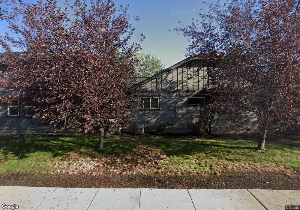
146 NW Black Hawk Ave Bend, OR 97701
Awbrey Butte NeighborhoodEstimated Value: $1,086,000 - $1,363,000
3
Beds
3
Baths
2,503
Sq Ft
$473/Sq Ft
Est. Value
About This Home
This home is located at 146 NW Black Hawk Ave, Bend, OR 97701 and is currently estimated at $1,183,503, approximately $472 per square foot. 146 NW Black Hawk Ave is a home located in Deschutes County with nearby schools including North Star Elementary School, Pacific Crest Middle School, and Summit High School.
Ownership History
Date
Name
Owned For
Owner Type
Purchase Details
Closed on
Apr 19, 2010
Sold by
Wright Devin Bradford
Bought by
Bernards Wright Kimberly
Current Estimated Value
Purchase Details
Closed on
May 1, 2008
Sold by
Huson Yvonne M
Bought by
Wright Devin Bradford and Bernards Wright Kimberly
Home Financials for this Owner
Home Financials are based on the most recent Mortgage that was taken out on this home.
Original Mortgage
$243,725
Outstanding Balance
$152,406
Interest Rate
5.81%
Mortgage Type
Unknown
Estimated Equity
$1,031,097
Create a Home Valuation Report for This Property
The Home Valuation Report is an in-depth analysis detailing your home's value as well as a comparison with similar homes in the area
Home Values in the Area
Average Home Value in this Area
Purchase History
| Date | Buyer | Sale Price | Title Company |
|---|---|---|---|
| Bernards Wright Kimberly | -- | None Available | |
| Wright Devin Bradford | -- | Amerititle |
Source: Public Records
Mortgage History
| Date | Status | Borrower | Loan Amount |
|---|---|---|---|
| Open | Wright Devin Bradford | $243,725 |
Source: Public Records
Tax History Compared to Growth
Tax History
| Year | Tax Paid | Tax Assessment Tax Assessment Total Assessment is a certain percentage of the fair market value that is determined by local assessors to be the total taxable value of land and additions on the property. | Land | Improvement |
|---|---|---|---|---|
| 2025 | $7,149 | $423,090 | -- | -- |
| 2024 | $6,878 | $410,770 | -- | -- |
| 2023 | $6,376 | $398,810 | $0 | $0 |
| 2022 | $5,948 | $375,930 | $0 | $0 |
| 2021 | $5,958 | $364,990 | $0 | $0 |
| 2020 | $5,652 | $364,990 | $0 | $0 |
| 2019 | $5,495 | $354,360 | $0 | $0 |
| 2018 | $5,339 | $344,040 | $0 | $0 |
| 2017 | $5,183 | $334,020 | $0 | $0 |
| 2016 | $4,943 | $324,300 | $0 | $0 |
| 2015 | $4,806 | $314,860 | $0 | $0 |
| 2014 | $4,664 | $305,690 | $0 | $0 |
Source: Public Records
Map
Nearby Homes
- 2440 NW 2nd St
- 2525 NW 1st St
- 1975 NW Harriman St
- 2582 NW 1st St
- 651 NW Morelock Ct
- 233 NW Revere Ave
- 2539 NW Awbrey Rd
- 2580 N West Awbrey Point Cir Unit 1&2
- 202 NW Thurston Ave
- 2464 NW Majestic Ridge Dr
- 536 NW Saginaw Ave
- 1714 NW Steidl Rd
- 607 NW Trenton Ave
- 1565 NW Wall St Unit 124 - 125
- 1565 NW Wall St Unit 220/221
- 1565 NW Wall St Unit 306
- 1565 NW Wall St Unit 206
- 1565 NW Wall St Unit 154-155
- 1650 NW 5th St
- 1603 NW 2nd St
- 2345 NW Todds Crest Dr
- 145 NW Black Hawk Ave
- 158 NW Black Hawk Ave
- 2359 NW Todds Crest Dr
- 2380 NW 2nd St
- 157 NW Black Hawk Ave
- 2344 NW Todds Crest Dr
- 2388 NW 2nd St
- 133 NW Black Hawk Ave
- 110 NW Black Hawk Ave
- 2379 NW Todds Crest Dr
- 2396 NW 2nd St
- 2350 NW Todds Crest Dr
- 148 NW Wilmington Ave
- 170 NW Wilmington Ave
- 169 NW Black Hawk Ave
- 2366 NW Todds Crest Dr
- 2404 NW 2nd St
- 2395 NW Todds Crest Dr
- 2371 NW 2nd St