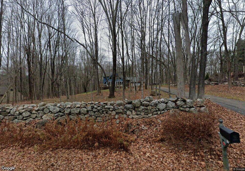
146 Old Colchester Rd Amston, CT 06231
Estimated Value: $478,400 - $564,000
3
Beds
3
Baths
2,365
Sq Ft
$215/Sq Ft
Est. Value
About This Home
This home is located at 146 Old Colchester Rd, Amston, CT 06231 and is currently estimated at $508,600, approximately $215 per square foot. 146 Old Colchester Rd is a home located in Tolland County with nearby schools including Gilead Hill School, Hebron Elementary School, and RHAM Middle School.
Ownership History
Date
Name
Owned For
Owner Type
Purchase Details
Closed on
Feb 1, 1993
Sold by
Siegel Beverly
Bought by
Chandler Donna and Chandler Scott
Current Estimated Value
Home Financials for this Owner
Home Financials are based on the most recent Mortgage that was taken out on this home.
Original Mortgage
$132,000
Interest Rate
8.16%
Mortgage Type
Unknown
Create a Home Valuation Report for This Property
The Home Valuation Report is an in-depth analysis detailing your home's value as well as a comparison with similar homes in the area
Home Values in the Area
Average Home Value in this Area
Purchase History
| Date | Buyer | Sale Price | Title Company |
|---|---|---|---|
| Chandler Donna | $165,000 | -- |
Source: Public Records
Mortgage History
| Date | Status | Borrower | Loan Amount |
|---|---|---|---|
| Open | Chandler Donna | $125,000 | |
| Closed | Chandler Donna | $132,000 |
Source: Public Records
Tax History Compared to Growth
Tax History
| Year | Tax Paid | Tax Assessment Tax Assessment Total Assessment is a certain percentage of the fair market value that is determined by local assessors to be the total taxable value of land and additions on the property. | Land | Improvement |
|---|---|---|---|---|
| 2025 | $7,303 | $198,170 | $51,940 | $146,230 |
| 2024 | $6,837 | $198,170 | $51,940 | $146,230 |
| 2023 | $6,577 | $198,170 | $51,940 | $146,230 |
| 2022 | $6,282 | $198,170 | $51,940 | $146,230 |
| 2021 | $6,797 | $187,080 | $51,980 | $135,100 |
| 2020 | $6,797 | $187,080 | $51,980 | $135,100 |
| 2019 | $6,931 | $187,080 | $51,980 | $135,100 |
| 2018 | $7,004 | $187,080 | $51,980 | $135,100 |
| 2017 | $6,922 | $187,080 | $51,980 | $135,100 |
| 2016 | $6,584 | $184,730 | $87,710 | $97,020 |
| 2015 | $6,650 | $184,730 | $87,710 | $97,020 |
| 2014 | $6,604 | $184,730 | $87,710 | $97,020 |
Source: Public Records
Map
Nearby Homes
- 20 Mohegan Ln
- 0 Deepwood Dr
- 18 Spring Hill Rd
- 14 Jeremy Way Unit 14
- 1 Church St
- 2 Church St
- 2 Lots on Deepwood Dr
- 80 Wellswood Rd Unit 9
- 282 Deepwood Dr
- 25 Woodland Dr
- 24 Wood Acres Rd
- 65 Wellswood Rd
- 0 Park Rd Unit 24130670
- 00 Zola Rd
- 94 Bush Rock Rd
- 64 Loveland Rd
- 76 Park Rd
- 0 Wildwood Dr
- 222 Gilead St
- 249 Wall St
- 140 Old Colchester Rd
- 152 Old Colchester Rd
- 134 Old Colchester Rd
- 25 Attawanhood Trail
- 9 Griswold Ln
- 19 Attawanhood Trail
- 31 Attawanhood Trail
- 135 Old Colchester Rd
- 37 Attawanhood Trail
- 164 Old Colchester Rd
- 13 Attawanhood Trail
- 128 Old Colchester Rd
- 129 Old Colchester Rd
- 157 Old Colchester Rd
- 50 Griswold Ln
- 1-42 Griswold Ln
- 123 Old Colchester Rd
- 9 Cannon Dr
- 21 Cannon Dr
- 167 Old Colchester Rd