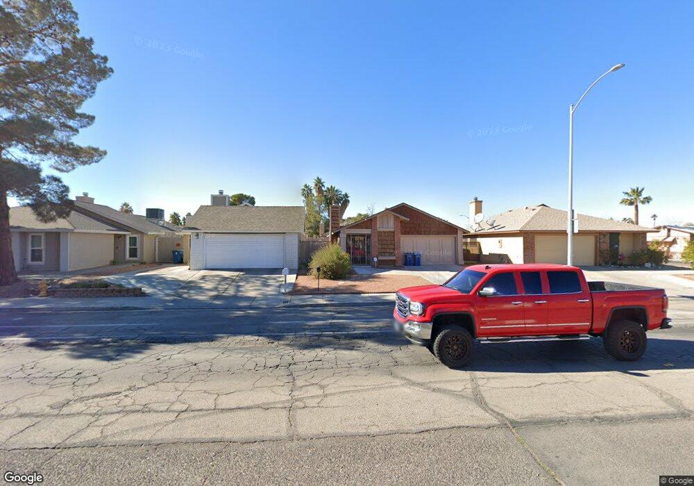
146 Parrish Ln Las Vegas, NV 89110
Estimated Value: $249,000 - $301,000
2
Beds
1
Bath
922
Sq Ft
$301/Sq Ft
Est. Value
About This Home
This home is located at 146 Parrish Ln, Las Vegas, NV 89110 and is currently estimated at $277,947, approximately $301 per square foot. 146 Parrish Ln is a home located in Clark County with nearby schools including Richard J. Rundle Elementary School, Charlotte & Jerry Keller Elementary School, and Duane D. Keller Middle School.
Ownership History
Date
Name
Owned For
Owner Type
Purchase Details
Closed on
Dec 3, 1998
Sold by
Robinson Daniel A
Bought by
Christianson Charles A and Christianson Allen
Current Estimated Value
Home Financials for this Owner
Home Financials are based on the most recent Mortgage that was taken out on this home.
Original Mortgage
$63,906
Outstanding Balance
$14,366
Interest Rate
6.66%
Mortgage Type
FHA
Estimated Equity
$263,581
Create a Home Valuation Report for This Property
The Home Valuation Report is an in-depth analysis detailing your home's value as well as a comparison with similar homes in the area
Home Values in the Area
Average Home Value in this Area
Purchase History
| Date | Buyer | Sale Price | Title Company |
|---|---|---|---|
| Christianson Charles A | $73,500 | Stewart Title |
Source: Public Records
Mortgage History
| Date | Status | Borrower | Loan Amount |
|---|---|---|---|
| Open | Christianson Charles A | $63,906 |
Source: Public Records
Tax History Compared to Growth
Tax History
| Year | Tax Paid | Tax Assessment Tax Assessment Total Assessment is a certain percentage of the fair market value that is determined by local assessors to be the total taxable value of land and additions on the property. | Land | Improvement |
|---|---|---|---|---|
| 2025 | $665 | $42,144 | $23,450 | $18,694 |
| 2024 | $616 | $42,144 | $23,450 | $18,694 |
| 2023 | $410 | $43,931 | $25,550 | $18,381 |
| 2022 | $571 | $37,031 | $19,950 | $17,081 |
| 2021 | $529 | $35,723 | $19,250 | $16,473 |
| 2020 | $488 | $34,120 | $17,500 | $16,620 |
| 2019 | $457 | $30,602 | $14,000 | $16,602 |
| 2018 | $436 | $27,810 | $11,638 | $16,172 |
| 2017 | $794 | $27,060 | $10,500 | $16,560 |
| 2016 | $410 | $25,487 | $8,400 | $17,087 |
| 2015 | $408 | $21,674 | $6,300 | $15,374 |
| 2014 | $396 | $17,170 | $3,850 | $13,320 |
Source: Public Records
Map
Nearby Homes
- 147 N Christy Ln
- 280 Sir Phillip St
- 5564 Orchard Ln Unit 133
- 5330 E Charleston Blvd Unit 2
- 5330 E Charleston Blvd Unit 113
- 332 Sir Jeffery Cir
- 5583 Orchard Ln Unit 152
- 5600 Orchard Ln
- 360 Sir Richard Dr E
- 179 Sir George Dr
- 153 Sir Thomas Dr
- 140 Sir David Way
- 136 Sir George Dr
- 0 E Charleston Blvd
- 130 Bel Port Dr Unit 133
- 1200 Pleasant Brook St
- 111 Sir Arthur Dr
- 316 Linn Ln
- 262 Solicito St
- 5794 Sea Breeze Ave