146 Perry Rd Greentown, PA 18426
Estimated Value: $116,850 - $534,000
2
Beds
1
Bath
560
Sq Ft
$581/Sq Ft
Est. Value
About This Home
This home is located at 146 Perry Rd, Greentown, PA 18426 and is currently estimated at $325,425, approximately $581 per square foot. 146 Perry Rd is a home with nearby schools including Wallenpaupack Area High School.
Ownership History
Date
Name
Owned For
Owner Type
Purchase Details
Closed on
Feb 20, 2025
Sold by
Boyle Harry G and Boyle Susan
Bought by
211 E Harford Street Llc
Current Estimated Value
Purchase Details
Closed on
Apr 4, 2015
Sold by
Yost Gregory R and Yost Janet L
Bought by
Yost Gregory R and Yost Dorothy K
Purchase Details
Closed on
Feb 12, 2015
Sold by
Yost Janet L and Yost Harold J
Bought by
Yost Janet L
Purchase Details
Closed on
Mar 2, 2006
Sold by
Yost Keith N
Bought by
Yost Harold J and Yost Gregory R
Create a Home Valuation Report for This Property
The Home Valuation Report is an in-depth analysis detailing your home's value as well as a comparison with similar homes in the area
Home Values in the Area
Average Home Value in this Area
Purchase History
| Date | Buyer | Sale Price | Title Company |
|---|---|---|---|
| 211 E Harford Street Llc | $540,000 | None Listed On Document | |
| Yost Gregory R | -- | None Available | |
| Yost Janet L | -- | None Available | |
| Yost Harold J | $8,400 | None Available |
Source: Public Records
Tax History Compared to Growth
Tax History
| Year | Tax Paid | Tax Assessment Tax Assessment Total Assessment is a certain percentage of the fair market value that is determined by local assessors to be the total taxable value of land and additions on the property. | Land | Improvement |
|---|---|---|---|---|
| 2025 | $906 | $8,110 | $2,000 | $6,110 |
| 2024 | $906 | $8,110 | $2,000 | $6,110 |
| 2023 | $871 | $8,110 | $2,000 | $6,110 |
| 2022 | $851 | $8,110 | $2,000 | $6,110 |
| 2021 | $827 | $8,110 | $2,000 | $6,110 |
| 2020 | $827 | $8,110 | $2,000 | $6,110 |
| 2019 | $800 | $8,110 | $2,000 | $6,110 |
| 2018 | $779 | $8,110 | $2,000 | $6,110 |
| 2017 | $750 | $8,110 | $2,000 | $6,110 |
| 2016 | $0 | $8,110 | $2,000 | $6,110 |
| 2014 | -- | $8,110 | $2,000 | $6,110 |
Source: Public Records
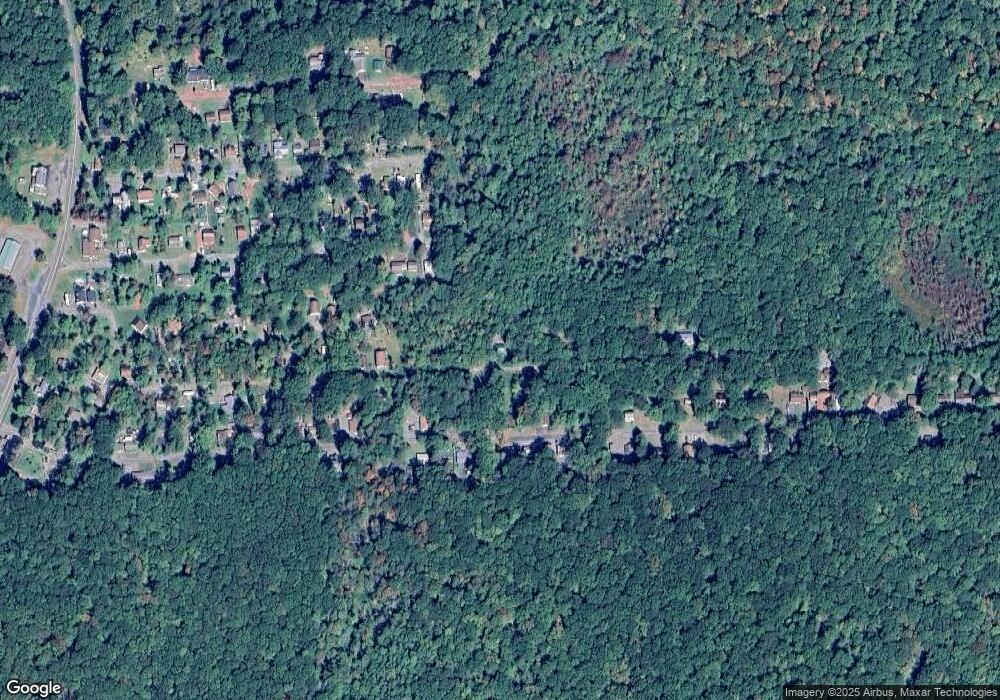
Map
Nearby Homes
- 142 E Balsam Rd
- 116 S Sunset Dr
- 926 Pennsylvania 390
- lot 118 Route 390 & Oak Rd
- 1015 Route 390
- 1015 Pennsylvania 390
- 58 Branch Rd
- 120 Melody Ln
- Lot 258 Bear Trap Mountain Rd
- 153 Stone Chair Trail
- 108 Hughes Dr
- 0 Shiny Mountain Rd
- 111 Meadow Ln
- 00 Old Greentown Rd
- 212 Eastwood Dr
- 101 Bear Trap Mountain Rd
- 0 Eastwood Dr
- Lot 1301 Lakeside Dr
- Lot 1302 Lakeside Dr
- SkyView Lake Redwood Dr
- 158 Perry Rd
- 155 Perry Rd
- 1206 Sunset & Horizon
- 146 Tauschman Rd
- 144 Tauschman Rd
- 157 Tauschman Rd
- 153 Tauschman Rd
- 141 E Balsam Rd
- 155 Tauschman Rd
- 159 Tauschman Rd
- 54 Tauschman Rd
- 149 Tauschman Rd
- 161 Tauschman Rd
- 136 S Sunset Dr
- 136 Perry Rd
- 147 Tauschman Rd
- 161 Tauschman Rd
- 137 E Balsam Rd
- 137 Perry Rd
- 134 Perry Rd