146 Private Road 2378 Alvord, TX 76225
Estimated Value: $739,000 - $838,015
3
Beds
2
Baths
2,592
Sq Ft
$304/Sq Ft
Est. Value
About This Home
This home is located at 146 Private Road 2378, Alvord, TX 76225 and is currently estimated at $788,508, approximately $304 per square foot. 146 Private Road 2378 is a home located in Wise County with nearby schools including Alvord Elementary School, Alvord Middle School, and Alvord High School.
Ownership History
Date
Name
Owned For
Owner Type
Purchase Details
Closed on
Mar 21, 2013
Sold by
Walker Bob and Walker Diann
Bought by
Rogers Kent William and Rogers Ronda
Current Estimated Value
Home Financials for this Owner
Home Financials are based on the most recent Mortgage that was taken out on this home.
Original Mortgage
$245,000
Outstanding Balance
$173,281
Interest Rate
3.59%
Mortgage Type
New Conventional
Estimated Equity
$615,227
Purchase Details
Closed on
Jan 1, 1901
Bought by
Rogers Kent and Rogers Ronda
Create a Home Valuation Report for This Property
The Home Valuation Report is an in-depth analysis detailing your home's value as well as a comparison with similar homes in the area
Home Values in the Area
Average Home Value in this Area
Purchase History
| Date | Buyer | Sale Price | Title Company |
|---|---|---|---|
| Rogers Kent William | -- | Wise County Title Co | |
| Rogers Kent | -- | -- |
Source: Public Records
Mortgage History
| Date | Status | Borrower | Loan Amount |
|---|---|---|---|
| Open | Rogers Kent William | $245,000 |
Source: Public Records
Tax History Compared to Growth
Tax History
| Year | Tax Paid | Tax Assessment Tax Assessment Total Assessment is a certain percentage of the fair market value that is determined by local assessors to be the total taxable value of land and additions on the property. | Land | Improvement |
|---|---|---|---|---|
| 2025 | $3,608 | $560,778 | $21,976 | $538,802 |
| 2024 | $3,608 | $483,427 | $21,835 | $461,592 |
| 2023 | $5,371 | $814,916 | $0 | $0 |
| 2022 | $6,310 | $668,371 | $0 | $0 |
| 2021 | $6,135 | $633,750 | $275,420 | $358,330 |
| 2020 | $5,825 | $611,250 | $275,420 | $335,830 |
| 2019 | $6,110 | $555,700 | $223,200 | $332,500 |
| 2018 | $6,091 | $521,740 | $192,850 | $328,890 |
| 2017 | $5,829 | $478,380 | $162,520 | $315,860 |
| 2016 | $5,603 | $469,670 | $159,080 | $310,590 |
| 2015 | -- | $366,740 | $159,080 | $207,660 |
| 2014 | -- | $290,840 | $8,020 | $282,820 |
Source: Public Records
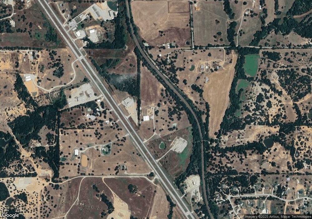
Map
Nearby Homes
- 172 Cowan Crossing
- 1600 County Road 2395
- 858 County Road 2395
- 365 County Road 1180
- 119 Private Road 1186
- TBD Lot PT 15 & 16 County Road 1271
- 200 County Road 1260
- 5529 N US Highway 287
- 215 Private Road 2394
- 1480 Cr-1180
- 362 County Road 1170
- 2721 Old Decatur Rd
- 1466 County Road 1270
- 2296 Old Decatur Rd
- 00 Farm To Market Road 1810
- 835 County Road 2175
- 135 Private Road 2202
- 205 Private Road 2202 Unit 2194
- 279 Private Road 2202
- 237 Private Road 2202
- 3974 N Us Highway 287
- 3853 N Us Highway 287
- 3853 N Us Highway 287
- 3853 N Us Highway 287
- 3853 N Us Highway 287
- 3853 N Us Highway 287
- 3853 N Us Highway 287
- 3930 N Hwy 287
- 139 Private Road 2368
- 3978 N Us Highway 287
- 3978 N Us Highway 287
- 3855 N Us Highway 287
- 3855 N Us Highway 287
- 3893 N Us Highway 287
- 3849 N Us Highway 287
- 1816 County Road 2391
- 1886 County Road 2391
- 3997 U S 287
- 3726 N Us Highway 287
- 3726 N Us Highway 287