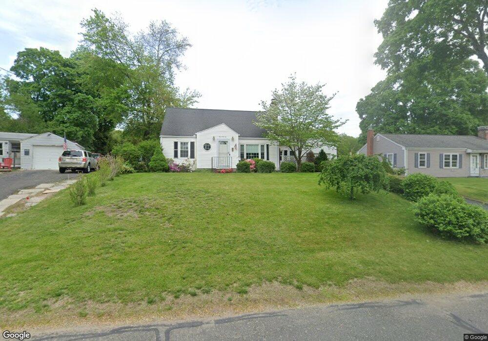
146 Robinson Rd West Springfield, MA 01089
Estimated Value: $327,000 - $358,000
3
Beds
2
Baths
1,370
Sq Ft
$250/Sq Ft
Est. Value
About This Home
This home is located at 146 Robinson Rd, West Springfield, MA 01089 and is currently estimated at $343,147, approximately $250 per square foot. 146 Robinson Rd is a home located in Hampden County with nearby schools including West Springfield High School and St Thomas The Apostle School.
Ownership History
Date
Name
Owned For
Owner Type
Purchase Details
Closed on
Jul 16, 2020
Sold by
Caney Christine M and Caney Loring M
Bought by
Caney Christine M
Current Estimated Value
Purchase Details
Closed on
May 14, 2015
Sold by
Caney Loring M and Caney Frances T
Bought by
Caney Loring M and Caney Frances T
Create a Home Valuation Report for This Property
The Home Valuation Report is an in-depth analysis detailing your home's value as well as a comparison with similar homes in the area
Home Values in the Area
Average Home Value in this Area
Purchase History
| Date | Buyer | Sale Price | Title Company |
|---|---|---|---|
| Caney Christine M | $190,000 | None Available | |
| Caney Loring M | -- | -- |
Source: Public Records
Tax History
| Year | Tax Paid | Tax Assessment Tax Assessment Total Assessment is a certain percentage of the fair market value that is determined by local assessors to be the total taxable value of land and additions on the property. | Land | Improvement |
|---|---|---|---|---|
| 2025 | $4,235 | $284,800 | $123,200 | $161,600 |
| 2024 | $4,237 | $286,100 | $123,200 | $162,900 |
| 2023 | $3,975 | $255,800 | $123,200 | $132,600 |
| 2022 | $3,633 | $230,500 | $111,800 | $118,700 |
| 2021 | $3,497 | $206,900 | $102,700 | $104,200 |
| 2020 | $3,468 | $204,100 | $102,700 | $101,400 |
| 2019 | $3,462 | $204,100 | $102,700 | $101,400 |
| 2018 | $3,480 | $204,100 | $102,700 | $101,400 |
| 2017 | $3,480 | $204,100 | $102,700 | $101,400 |
| 2016 | $3,437 | $202,300 | $98,800 | $103,500 |
| 2015 | $3,369 | $198,300 | $96,800 | $101,500 |
| 2014 | -- | $198,300 | $96,800 | $101,500 |
Source: Public Records
Map
Nearby Homes
- 144 Almon Ave
- 1996 Westfield St
- 65 Churchill Rd
- 32 Glenview Dr
- 117 Sibley Ave
- 62 Talcott Ave
- lot A North St
- 65 Verdugo St
- 88 Verdugo St
- 112 North St
- 24 E View Dr
- 24-26 Howard St
- 240 Morton St
- 61 Clarence St
- 999 N Street Extension
- 81 Chestnut St
- 157 Cambridge St
- 67 Colemore St
- 1086 N Street Extension
- 128 Hampden St
- 138 Robinson Rd
- 152 Robinson Rd
- 56 Robinson Rd
- 46 Robinson Rd
- 64 Robinson Rd
- 130 Robinson Rd
- 38 Robinson Rd
- 143 Robinson Rd
- 160 Robinson Rd
- 137 Robinson Rd
- 153 Robinson Rd
- 30 Robinson Rd
- 70 Robinson Rd
- 122 Robinson Rd
- 166 Robinson Rd
- 125 Robinson Rd
- 161 Robinson Rd
- 22 Robinson Rd
- 309 Poplar Ave
- 299 Poplar Ave
Your Personal Tour Guide
Ask me questions while you tour the home.