146 Rountree Rd Grover, NC 28073
Estimated Value: $237,000 - $322,000
--
Bed
--
Bath
1,834
Sq Ft
$154/Sq Ft
Est. Value
About This Home
This home is located at 146 Rountree Rd, Grover, NC 28073 and is currently estimated at $282,167, approximately $153 per square foot. 146 Rountree Rd is a home located in Cleveland County with nearby schools including Grover Elementary School, Kings Mountain Middle, and Kings Mountain Intermediate School.
Ownership History
Date
Name
Owned For
Owner Type
Purchase Details
Closed on
Oct 17, 2016
Sold by
Williams Shirley Davis
Bought by
Rountree Katy and Haynes Joshua E
Current Estimated Value
Home Financials for this Owner
Home Financials are based on the most recent Mortgage that was taken out on this home.
Original Mortgage
$135,000
Outstanding Balance
$108,365
Interest Rate
3.5%
Mortgage Type
New Conventional
Estimated Equity
$173,802
Purchase Details
Closed on
Aug 1, 2014
Sold by
Roper Michael W and Roper Lindsey
Bought by
Williams Harry L and Williams Shirley D
Home Financials for this Owner
Home Financials are based on the most recent Mortgage that was taken out on this home.
Original Mortgage
$150,000
Interest Rate
4.24%
Mortgage Type
VA
Purchase Details
Closed on
Nov 2, 2012
Sold by
Roper Michael
Bought by
Roper Michael and Roper Lindsey
Create a Home Valuation Report for This Property
The Home Valuation Report is an in-depth analysis detailing your home's value as well as a comparison with similar homes in the area
Home Values in the Area
Average Home Value in this Area
Purchase History
| Date | Buyer | Sale Price | Title Company |
|---|---|---|---|
| Rountree Katy | $150,000 | None Available | |
| Williams Harry L | $150,000 | None Available | |
| Roper Michael | -- | None Available |
Source: Public Records
Mortgage History
| Date | Status | Borrower | Loan Amount |
|---|---|---|---|
| Open | Rountree Katy | $135,000 | |
| Previous Owner | Williams Harry L | $150,000 |
Source: Public Records
Tax History Compared to Growth
Tax History
| Year | Tax Paid | Tax Assessment Tax Assessment Total Assessment is a certain percentage of the fair market value that is determined by local assessors to be the total taxable value of land and additions on the property. | Land | Improvement |
|---|---|---|---|---|
| 2025 | $1,626 | $256,009 | $21,460 | $234,549 |
| 2024 | $1,547 | $191,450 | $18,560 | $172,890 |
| 2023 | $1,547 | $191,450 | $18,560 | $172,890 |
| 2022 | $1,539 | $191,450 | $18,560 | $172,890 |
| 2021 | $1,547 | $191,450 | $18,560 | $172,890 |
| 2020 | $1,257 | $149,236 | $16,973 | $132,263 |
| 2019 | $1,257 | $149,236 | $16,973 | $132,263 |
| 2018 | $1,256 | $149,236 | $16,973 | $132,263 |
| 2017 | $1,249 | $149,236 | $16,973 | $132,263 |
| 2016 | $842 | $149,236 | $16,973 | $132,263 |
| 2015 | $1,104 | $137,373 | $11,507 | $125,866 |
| 2014 | $978 | $115,957 | $11,507 | $104,450 |
Source: Public Records
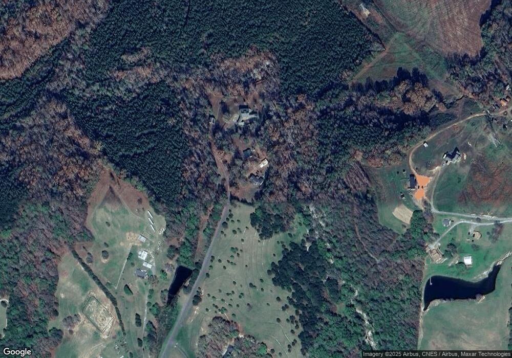
Map
Nearby Homes
- 203 Bethlehem Church Rd
- 00 Bethlehem Church Rd
- 811 Cleveland Ave
- 303 Hardin Cir
- 219 Watterson Rd
- 164 Blackburn Dr
- 132 Hicks Rd Unit 1
- 101 Park Ln
- 101 Melvin Ct
- 00 Bunny Run
- 111 Hicks Rd Unit 9
- 129 Lakeview Dr
- 308 M H Camp Hwy
- 105 Elm Rd
- 210 Roy Bell Rd
- 238 Lakeview Dr
- 0 Pinewood Dr
- 764 S Battleground Ave
- 213 Pinewood Dr
- 614 Tribal Rd
- 156 Rountree Rd
- 119 Rountree Rd
- 1184 Bethlehem Church Rd
- 1184 Bethlehem Church Rd
- 128 Rountree Rd
- 115 Rountree Rd
- 112 Rountree Rd Unit 1
- 1182 Bethlehem Church Rd
- 1170 Bethlehem Church Rd
- 1204 Bethlehem Church Rd
- 118 Advent Dr
- 1214 Bethlehem Church Rd
- 108 Rountree Rd Unit 1
- 1185 Bethlehem Church Rd
- 112 Advent Dr
- 1171 Bethlehem Church Rd
- 1203 Bethlehem Church Rd
- 106 Rountree Rd Unit 1
- 106 Rountree Rd Unit 1
- 1205 Bethlehem Church Rd