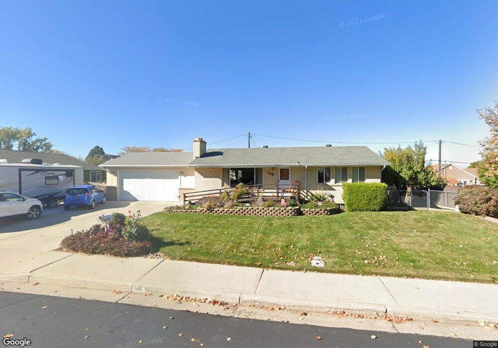
146 S 970 E Spanish Fork, UT 84660
Estimated Value: $489,000 - $501,883
6
Beds
2
Baths
1,176
Sq Ft
$420/Sq Ft
Est. Value
About This Home
This home is located at 146 S 970 E, Spanish Fork, UT 84660 and is currently estimated at $493,628, approximately $419 per square foot. 146 S 970 E is a home located in Utah County with nearby schools including Larsen Elementary School, Spanish Fork Jr High School, and Spanish Fork High School.
Ownership History
Date
Name
Owned For
Owner Type
Purchase Details
Closed on
Apr 20, 2023
Sold by
Wooton Matthew A
Bought by
Matthew Alan Wooton And Terri Lynn Wooton Liv
Current Estimated Value
Purchase Details
Closed on
Jan 31, 2001
Sold by
Swenson Dean E and Swendon Wendy S
Bought by
Uribe Humberto and Uribe Alma D
Create a Home Valuation Report for This Property
The Home Valuation Report is an in-depth analysis detailing your home's value as well as a comparison with similar homes in the area
Home Values in the Area
Average Home Value in this Area
Purchase History
| Date | Buyer | Sale Price | Title Company |
|---|---|---|---|
| Matthew Alan Wooton And Terri Lynn Wooton Liv | -- | None Listed On Document | |
| Uribe Humberto | -- | Title West Title Co |
Source: Public Records
Tax History
| Year | Tax Paid | Tax Assessment Tax Assessment Total Assessment is a certain percentage of the fair market value that is determined by local assessors to be the total taxable value of land and additions on the property. | Land | Improvement |
|---|---|---|---|---|
| 2025 | $2,260 | $256,080 | -- | -- |
| 2024 | $2,260 | $232,925 | $0 | $0 |
| 2023 | $2,274 | $234,630 | $0 | $0 |
| 2022 | $2,313 | $234,080 | $0 | $0 |
| 2021 | $1,891 | $306,100 | $113,500 | $192,600 |
| 2020 | $1,788 | $281,500 | $103,200 | $178,300 |
| 2019 | $1,541 | $255,200 | $92,100 | $163,100 |
| 2018 | $1,406 | $225,100 | $83,300 | $141,800 |
| 2017 | $1,241 | $106,755 | $0 | $0 |
| 2016 | $1,167 | $99,055 | $0 | $0 |
| 2015 | $1,156 | $97,020 | $0 | $0 |
| 2014 | $1,152 | $97,020 | $0 | $0 |
Source: Public Records
Map
Nearby Homes
- 973 E 60 S
- 1159 E 100 S
- 2998 Canyon Dr Unit 333
- 3014 Canyon Dr Unit 332
- 1238 E 100 S
- 277 S 700 E
- 325 S 1230 E
- 2583 E 300 S Unit 21
- 136 N 1120 E
- 306 N 1070 E
- 306 N 1070 E Unit 17
- 274 N 1070 E Unit 14
- 299 N 1070 E Unit 8
- 212 N 1070 E Unit 9
- 224 N 1070 E Unit 10
- 1108 E 260 N
- 284 N 1000 E
- 573 E 300 S
- 998 E 260 N Unit 16
- 992 E 260 N Unit 15
Your Personal Tour Guide
Ask me questions while you tour the home.