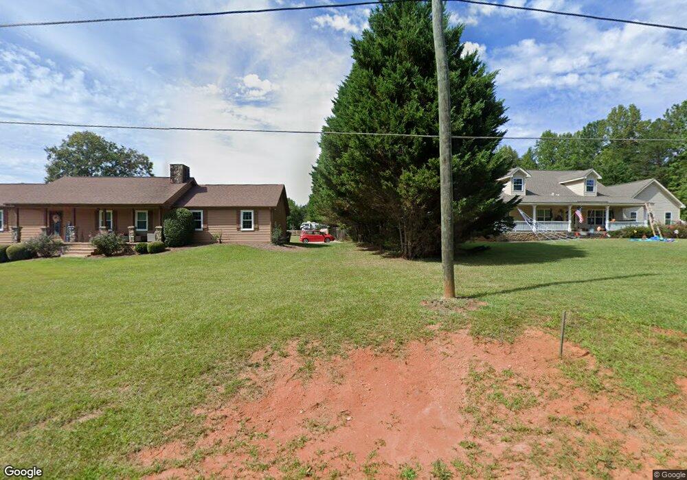
146 S Wind Dr Dahlonega, GA 30533
Estimated Value: $371,000 - $435,000
3
Beds
4
Baths
2,032
Sq Ft
$194/Sq Ft
Est. Value
About This Home
This home is located at 146 S Wind Dr, Dahlonega, GA 30533 and is currently estimated at $394,062, approximately $193 per square foot. 146 S Wind Dr is a home located in Lumpkin County with nearby schools including Lumpkin County High School.
Ownership History
Date
Name
Owned For
Owner Type
Purchase Details
Closed on
Mar 30, 2023
Sold by
Welch Donna
Bought by
Tennyson Robert and Tennyson Joy
Current Estimated Value
Home Financials for this Owner
Home Financials are based on the most recent Mortgage that was taken out on this home.
Original Mortgage
$252,000
Outstanding Balance
$245,060
Interest Rate
6.65%
Mortgage Type
New Conventional
Estimated Equity
$149,002
Purchase Details
Closed on
Jul 7, 2008
Sold by
Welch Donna
Bought by
Welch Donna
Purchase Details
Closed on
Aug 1, 1983
Bought by
Welch Juddy
Create a Home Valuation Report for This Property
The Home Valuation Report is an in-depth analysis detailing your home's value as well as a comparison with similar homes in the area
Home Values in the Area
Average Home Value in this Area
Purchase History
| Date | Buyer | Sale Price | Title Company |
|---|---|---|---|
| Tennyson Robert | $315,000 | -- | |
| Welch Donna | -- | -- | |
| Welch Juddy | -- | -- |
Source: Public Records
Mortgage History
| Date | Status | Borrower | Loan Amount |
|---|---|---|---|
| Open | Tennyson Robert | $252,000 |
Source: Public Records
Tax History Compared to Growth
Tax History
| Year | Tax Paid | Tax Assessment Tax Assessment Total Assessment is a certain percentage of the fair market value that is determined by local assessors to be the total taxable value of land and additions on the property. | Land | Improvement |
|---|---|---|---|---|
| 2024 | $2,823 | $120,599 | $10,000 | $110,599 |
| 2023 | $263 | $114,681 | $10,000 | $104,681 |
| 2022 | $1,400 | $56,542 | $6,000 | $50,542 |
| 2021 | $1,235 | $50,247 | $6,000 | $44,247 |
| 2020 | $1,350 | $53,189 | $9,816 | $43,373 |
| 2019 | $2,593 | $99,383 | $9,929 | $89,454 |
| 2018 | $3,806 | $136,162 | $20,766 | $115,396 |
| 2017 | $3,152 | $110,954 | $20,766 | $90,188 |
| 2016 | $2,942 | $100,382 | $20,766 | $79,616 |
| 2015 | $2,621 | $100,382 | $20,766 | $79,616 |
| 2014 | $2,621 | $101,424 | $20,766 | $80,657 |
| 2013 | -- | $103,506 | $20,766 | $82,739 |
Source: Public Records
Map
Nearby Homes
- 433 Elliots Ln
- 6439 S Chestatee
- 162 Stoneridge Dr
- 6038 S Chestatee
- 125 Lake Laurel Dr
- 0 Long Branch Rd Unit 10271720
- 0 Long Branch Rd Unit 10271266
- 0 Long Branch Rd Unit 7357871
- 00 Long Branch Rd
- 0 Robinson Rd Unit 10597950
- 0 Robinson Rd Unit 7643549
- 85 Waterloo Dr
- 75 Melody Ln
- 39 E Point Dr
- 5195 S Chestatee
- 334 Silas Rd
- 391 Pinewood Place
- 459 Gold Ridge Rd
- 55 Flat Rock Pointe
- 6292 Timber Creek Trail
- 144 S Wind Dr
- 148 S Wind Dr
- 52 S Wind Dr
- 150 S Wind Dr
- 164 S Wind Dr
- 143 S Wind Dr
- 93 S Wind Dr
- 31 S Wind Dr
- 159 S Wind Dr
- 68 Elliots Ln
- S S Wind Dr
- 48 S Wind Dr
- 261 Brandy Mountain Rd
- 126 Elliots Ln
- 0 Elliots Ln
- 330 Brandy Mountain Rd
- 381 Brandy Mountain Rd
- 37 Elliots Ln
- 130 Elliots Ln
- 69 Elliots Ln