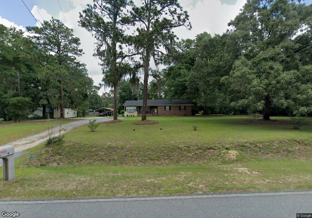
146 Sills Dr Cordele, GA 31015
Estimated Value: $185,000 - $297,000
3
Beds
2
Baths
1,456
Sq Ft
$164/Sq Ft
Est. Value
About This Home
This home is located at 146 Sills Dr, Cordele, GA 31015 and is currently estimated at $239,113, approximately $164 per square foot. 146 Sills Dr is a home located in Crisp County with nearby schools including Crisp County Elementary School, Crisp County Primary School, and Crisp County Middle School.
Ownership History
Date
Name
Owned For
Owner Type
Purchase Details
Closed on
Mar 25, 2013
Sold by
Keen Harry L
Bought by
Keen Harry L and Keen Sandra M
Current Estimated Value
Home Financials for this Owner
Home Financials are based on the most recent Mortgage that was taken out on this home.
Original Mortgage
$117,000
Outstanding Balance
$113,194
Interest Rate
3.57%
Mortgage Type
Reverse Mortgage Home Equity Conversion Mortgage
Estimated Equity
$125,919
Purchase Details
Closed on
Apr 1, 1999
Sold by
Hurt W Charles
Bought by
Keen Harry
Create a Home Valuation Report for This Property
The Home Valuation Report is an in-depth analysis detailing your home's value as well as a comparison with similar homes in the area
Purchase History
| Date | Buyer | Sale Price | Title Company |
|---|---|---|---|
| Keen Harry L | -- | -- | |
| Keen Harry | $61,900 | -- |
Source: Public Records
Mortgage History
| Date | Status | Borrower | Loan Amount |
|---|---|---|---|
| Open | Keen Harry L | $117,000 |
Source: Public Records
Tax History
| Year | Tax Paid | Tax Assessment Tax Assessment Total Assessment is a certain percentage of the fair market value that is determined by local assessors to be the total taxable value of land and additions on the property. | Land | Improvement |
|---|---|---|---|---|
| 2025 | -- | $55,816 | $12,326 | $43,490 |
| 2024 | -- | $48,719 | $9,815 | $38,904 |
| 2023 | $1,255 | $46,587 | $9,815 | $36,772 |
| 2022 | $1,255 | $42,323 | $7,844 | $34,479 |
| 2021 | $1,187 | $40,030 | $7,844 | $32,186 |
| 2020 | $1,231 | $40,030 | $7,844 | $32,186 |
| 2019 | $1,231 | $40,030 | $7,844 | $32,186 |
| 2018 | $1,022 | $33,234 | $6,072 | $27,162 |
| 2017 | $1,022 | $33,234 | $6,072 | $27,162 |
| 2016 | $1,022 | $33,234 | $6,072 | $27,162 |
| 2015 | -- | $33,234 | $6,072 | $27,162 |
| 2014 | -- | $33,234 | $6,072 | $27,162 |
| 2013 | -- | $33,233 | $6,072 | $27,161 |
Source: Public Records
Map
Nearby Homes
- 508 Lakeshore Dr
- 432 Lakeshore Dr
- 199 Hurt Dr
- 480 Spring Creek Rd
- 1022 Flournoy Rd
- 636 Spring Creek Rd
- 888 Flournoy Rd
- 484 Lakeshore Way
- 300 HWY Georgia-Florida Pkwy
- Lot 15 Georgia-Florida Pkwy
- 0 Swift Creek Rd Unit 140225
- 144 W Railroad St
- 0 Washington St SE
- 198 Swift Creek Rd
- 102 Perch Dr
- 0 Arabi Warwick Rd
- 298 Lakeshore Way
- 696 Cork Ferry Rd
- 1958 Antioch Rd
- 738 Cork Ferry Rd
- 479 Lakeshore Dr
- 471 Lakeshore Dr
- 459 Lakeshore Dr
- 143 Sills Dr
- TBD Sills Dr
- 131 Sills Dr
- 264 Hurt Dr
- 486 Lakeshore Dr
- 480 Lakeshore Dr
- 474 Lakeshore Dr
- 470 Lakeshore Dr
- 495 Lakeshore Dr
- 468 Lakeshore Dr
- 458 Lakeshore Dr
- 496 Lakeshore Dr
- 121 Sills Dr
- 452 Lakeshore Dr
- 246 Hurt Dr
- 502 Lakeshore Dr
- 503 Lakeshore Dr
Your Personal Tour Guide
Ask me questions while you tour the home.