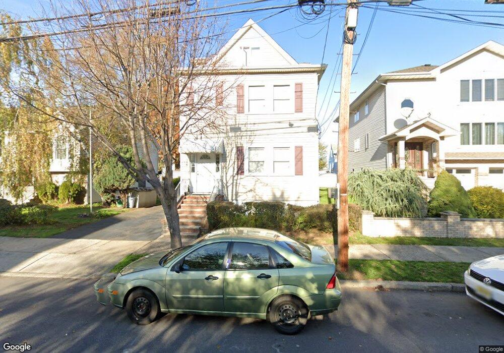
146 Speer Ave Unit 1 Clifton, NJ 07013
Athenia NeighborhoodEstimated Value: $741,435 - $1,006,000
2
Beds
1
Bath
2,879
Sq Ft
$299/Sq Ft
Est. Value
About This Home
This home is located at 146 Speer Ave Unit 1, Clifton, NJ 07013 and is currently estimated at $860,609, approximately $298 per square foot. 146 Speer Ave Unit 1 is a home located in Passaic County with nearby schools including Clifton High School, Ybh Of Passaic-Hillel, and Collegiate School.
Ownership History
Date
Name
Owned For
Owner Type
Purchase Details
Closed on
Apr 19, 2011
Sold by
Rakowski Michael K and Rakowski Josephine
Bought by
Rakowski Michael K and Rakowski Alicia
Current Estimated Value
Purchase Details
Closed on
Aug 23, 2000
Sold by
Frankowski Veronica
Bought by
Rakowski Michael K and Rakowski Josephine
Home Financials for this Owner
Home Financials are based on the most recent Mortgage that was taken out on this home.
Original Mortgage
$150,000
Interest Rate
7.5%
Mortgage Type
Stand Alone First
Create a Home Valuation Report for This Property
The Home Valuation Report is an in-depth analysis detailing your home's value as well as a comparison with similar homes in the area
Home Values in the Area
Average Home Value in this Area
Purchase History
| Date | Buyer | Sale Price | Title Company |
|---|---|---|---|
| Rakowski Michael K | -- | -- | |
| Rakowski Michael K | $200,000 | Passaic Valley Title Svc Inc |
Source: Public Records
Mortgage History
| Date | Status | Borrower | Loan Amount |
|---|---|---|---|
| Previous Owner | Rakowski Michael K | $150,000 |
Source: Public Records
Tax History Compared to Growth
Tax History
| Year | Tax Paid | Tax Assessment Tax Assessment Total Assessment is a certain percentage of the fair market value that is determined by local assessors to be the total taxable value of land and additions on the property. | Land | Improvement |
|---|---|---|---|---|
| 2025 | $13,024 | $219,400 | $80,500 | $138,900 |
| 2024 | $12,712 | $219,400 | $80,500 | $138,900 |
| 2022 | $12,528 | $219,400 | $80,500 | $138,900 |
| 2021 | $12,012 | $219,400 | $80,500 | $138,900 |
| 2020 | $12,052 | $219,400 | $80,500 | $138,900 |
| 2019 | $11,966 | $219,400 | $80,500 | $138,900 |
| 2018 | $11,898 | $219,400 | $80,500 | $138,900 |
| 2017 | $11,769 | $219,400 | $80,500 | $138,900 |
| 2016 | $11,540 | $219,400 | $80,500 | $138,900 |
| 2015 | $11,429 | $219,400 | $80,500 | $138,900 |
| 2014 | $11,194 | $219,400 | $80,500 | $138,900 |
Source: Public Records
Map
Nearby Homes
- 26 Major St
- 80 Major St
- 9 Spencer Ave
- 73 Spencer Ave
- 135 La Salle Ave
- 137 La Salle Ave
- 136 Martin Ave
- 46 Hilltop Ct
- 138 Scoles Ave
- 65 Martin Ave
- 9 Century Place
- 78 Orono St
- 36 Monhegan St
- 64 Rowland Ave
- 35 7th Ave
- 35 Dawson Ave
- 435 Van Houten Ave Unit 307
- 435 Van Houten Ave
- 445 Van Houten Ave Unit 101