146 Surf Dr Unit 480 Bronx, NY 10473
Clason Point NeighborhoodEstimated Value: $509,392 - $655,000
--
Bed
--
Bath
1,206
Sq Ft
$459/Sq Ft
Est. Value
About This Home
This home is located at 146 Surf Dr Unit 480, Bronx, NY 10473 and is currently estimated at $553,848, approximately $459 per square foot. 146 Surf Dr Unit 480 is a home located in Bronx County with nearby schools including P.S. 182 and Holy Cross Elementary School.
Ownership History
Date
Name
Owned For
Owner Type
Purchase Details
Closed on
Mar 12, 2015
Sold by
Debra Arroyo As Executor
Bought by
Arroyo Ronnie
Current Estimated Value
Purchase Details
Closed on
Feb 4, 2010
Sold by
Beechwood Rb Shorehaven Llc
Bought by
Arroyo Humberto and Arroyo Ronnie
Home Financials for this Owner
Home Financials are based on the most recent Mortgage that was taken out on this home.
Original Mortgage
$382,936
Interest Rate
5.12%
Mortgage Type
Purchase Money Mortgage
Create a Home Valuation Report for This Property
The Home Valuation Report is an in-depth analysis detailing your home's value as well as a comparison with similar homes in the area
Home Values in the Area
Average Home Value in this Area
Purchase History
| Date | Buyer | Sale Price | Title Company |
|---|---|---|---|
| Arroyo Ronnie | $12,125 | -- | |
| Arroyo Humberto | $390,000 | -- |
Source: Public Records
Mortgage History
| Date | Status | Borrower | Loan Amount |
|---|---|---|---|
| Previous Owner | Arroyo Humberto | $382,936 |
Source: Public Records
Tax History Compared to Growth
Tax History
| Year | Tax Paid | Tax Assessment Tax Assessment Total Assessment is a certain percentage of the fair market value that is determined by local assessors to be the total taxable value of land and additions on the property. | Land | Improvement |
|---|---|---|---|---|
| 2025 | $2,816 | $22,811 | $700 | $22,111 |
| 2024 | $2,816 | $22,811 | $750 | $22,061 |
| 2023 | $1,935 | $22,577 | $815 | $21,762 |
| 2022 | $983 | $24,498 | $952 | $23,546 |
| 2021 | $0 | $21,451 | $952 | $20,499 |
| 2020 | $176 | $24,013 | $952 | $23,061 |
| 2019 | $174 | $25,276 | $952 | $24,324 |
| 2018 | $169 | $18,814 | $706 | $18,108 |
| 2017 | $169 | $17,750 | $723 | $17,027 |
| 2016 | $166 | $16,746 | $678 | $16,068 |
| 2015 | $1,800 | $15,841 | $643 | $15,198 |
| 2014 | $1,800 | $15,841 | $625 | $15,216 |
Source: Public Records
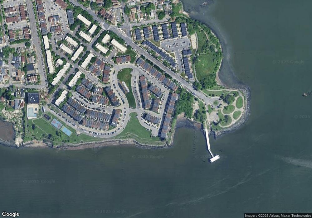
Map
Nearby Homes
- 163 Surf Dr Unit 199
- 197 Surf Dr Unit 123
- 179 Surf Dr Unit 114
- 109 Heron Ln Unit 447
- 114 Beacon Ln
- 109 Neptune Ln Unit 5
- 100 Neptune Ln Unit 15100
- 230 Sunset Blvd Unit 12230
- 112 Sunset Blvd Unit 11112
- 109 Fleet Ct
- 217 Sunset Blvd
- 109 Dolphin Ct
- 230 Fleet Ct Unit 16230
- 127 Husson Ave
- 122 Stephens Ave
- 170 Soundview Ave
- 106 Bolton Ave Unit 1
- 618 Harding Park
- 160 Stephens Ave
- 1540 Harding Park
- 162 Surf Dr Unit 488
- 158 Surf Dr Unit 486
- 154 Surf Dr Unit 484
- 150 Surf Dr Unit 482
- 142 Surf Dr Unit 478
- 142 Surf Dr Unit 43
- 167 Surf Dr Unit 199
- 167 Surf Dr
- 167 Surf Dr Unit 108
- 315 Surf Dr Unit 226
- 315 Surf Dr Unit 315
- 171 Surf Dr Unit 199
- 171 Surf Dr Unit 110
- 171 Surf Dr Unit 110
- 163 Surf Dr Unit 106
- 163 Surf Dr Unit 106
- 175 Surf Dr Unit 199
- 175 Surf Dr Unit 112
- 311 Surf Dr Unit 224B
- 311 Surf Dr