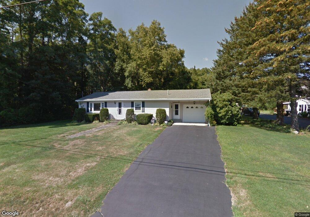
146 Swansom Rd Swansea, MA 02777
Northeast Swansea NeighborhoodEstimated Value: $431,000 - $496,000
3
Beds
1
Bath
1,144
Sq Ft
$409/Sq Ft
Est. Value
About This Home
This home is located at 146 Swansom Rd, Swansea, MA 02777 and is currently estimated at $468,203, approximately $409 per square foot. 146 Swansom Rd is a home located in Bristol County with nearby schools including Joseph Case High School, St. Michael's School, and Swansea Wood School.
Ownership History
Date
Name
Owned For
Owner Type
Purchase Details
Closed on
Aug 2, 2019
Sold by
Lorraine R Nolin T
Bought by
Cocoran Robert J
Current Estimated Value
Purchase Details
Closed on
Sep 30, 2016
Sold by
Walsh Patrick C
Bought by
Us Bank Na Tr
Purchase Details
Closed on
Feb 26, 2013
Sold by
Stanton-Cross Nancy
Bought by
Kitty Inc
Purchase Details
Closed on
Mar 15, 2012
Sold by
Brito Joseph M
Bought by
Pleasant Properties Su
Purchase Details
Closed on
Jan 7, 2011
Sold by
Nolin Lorraine R and Corcoran Lorraine
Bought by
Lorraine R Nolin T
Create a Home Valuation Report for This Property
The Home Valuation Report is an in-depth analysis detailing your home's value as well as a comparison with similar homes in the area
Home Values in the Area
Average Home Value in this Area
Purchase History
| Date | Buyer | Sale Price | Title Company |
|---|---|---|---|
| Cocoran Robert J | -- | -- | |
| Us Bank Na Tr | $275,000 | -- | |
| Kitty Inc | -- | -- | |
| Pleasant Properties Su | -- | -- | |
| Lorraine R Nolin T | -- | -- | |
| Lorraine R Nolin T | -- | -- |
Source: Public Records
Tax History Compared to Growth
Tax History
| Year | Tax Paid | Tax Assessment Tax Assessment Total Assessment is a certain percentage of the fair market value that is determined by local assessors to be the total taxable value of land and additions on the property. | Land | Improvement |
|---|---|---|---|---|
| 2025 | $4,398 | $369,000 | $140,000 | $229,000 |
| 2024 | $4,388 | $366,000 | $140,000 | $226,000 |
| 2023 | $4,219 | $321,300 | $102,200 | $219,100 |
| 2022 | $4,298 | $298,700 | $92,900 | $205,800 |
| 2021 | $3,917 | $250,600 | $88,500 | $162,100 |
| 2020 | $3,901 | $250,400 | $88,500 | $161,900 |
| 2019 | $3,733 | $240,700 | $78,800 | $161,900 |
| 2018 | $3,606 | $234,200 | $77,400 | $156,800 |
| 2017 | $3,110 | $234,200 | $77,400 | $156,800 |
| 2016 | $3,031 | $224,200 | $66,900 | $157,300 |
| 2015 | $2,752 | $209,600 | $66,900 | $142,700 |
| 2014 | $2,713 | $211,300 | $66,900 | $144,400 |
Source: Public Records
Map
Nearby Homes
- 33 Rhinecliffe Rd
- 0 Bark St Unit 1342599
- 0 Bark St Unit 73152576
- 265 Stevens Rd
- 58 Randall Ave
- 197 Alberta Ave
- 60 Aetna St
- 80 Meadow Ln
- 66 Meadow Ln
- 34 Base Lodge Ln
- 34 Doherty Ave
- 51 Linden Dr
- 1496 Riverside Ave
- 675 Lees River Ave
- 24 Front St
- 30 Front St
- 745 Bark St
- 8 2nd St
- 1000 Riverside Ave
- 54 Grant Ave
- 162 Swansom Rd
- 96 Ashmont St
- 143 Swansom Rd
- 165 Swansom Rd
- 0 Swansom Rd (Es) Unit 72836276
- 88 Ashmont St
- 176 Swansom Rd
- 174 Swansom Rd
- 91 Canton St
- 120 Swansom Rd
- 173 Swansom Rd
- 121 Swansom Rd
- 90 Rangeley St
- 78 Ashmont St
- 80 Rangeley St
- 192 Swansom Rd
- 110 Swansom Rd
- 85 Houlton St
- 189 Swansom Rd
- 70 Ashmont St