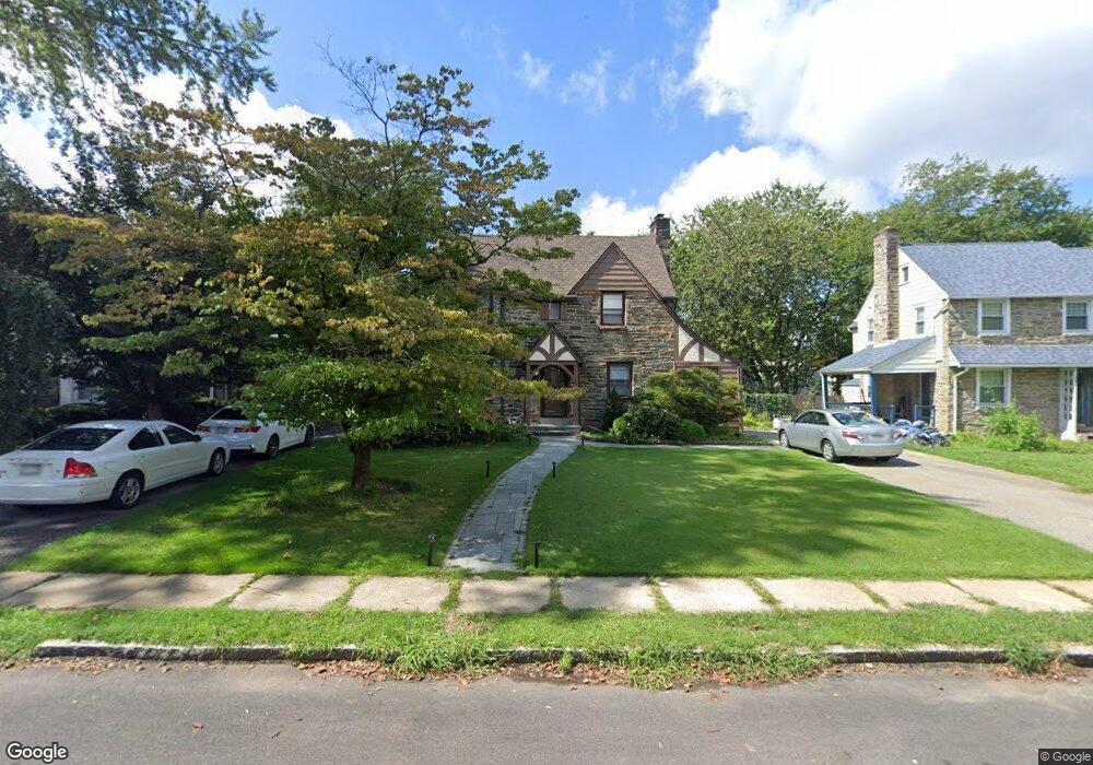
146 Trent Rd Wynnewood, PA 19096
Penn Wynne NeighborhoodEstimated Value: $699,000 - $772,000
4
Beds
3
Baths
2,048
Sq Ft
$362/Sq Ft
Est. Value
About This Home
This home is located at 146 Trent Rd, Wynnewood, PA 19096 and is currently estimated at $740,943, approximately $361 per square foot. 146 Trent Rd is a home located in Montgomery County with nearby schools including Penn Wynne Elementary School, Bala-Cynwyd Middle School, and Lower Merion High School.
Ownership History
Date
Name
Owned For
Owner Type
Purchase Details
Closed on
Feb 15, 2005
Sold by
Not Provided
Bought by
Not Provided
Current Estimated Value
Home Financials for this Owner
Home Financials are based on the most recent Mortgage that was taken out on this home.
Original Mortgage
$83,400
Outstanding Balance
$42,391
Interest Rate
5.75%
Mortgage Type
Credit Line Revolving
Estimated Equity
$698,552
Purchase Details
Closed on
Oct 29, 2004
Sold by
Not Provided
Bought by
Not Provided
Home Financials for this Owner
Home Financials are based on the most recent Mortgage that was taken out on this home.
Original Mortgage
$333,600
Interest Rate
5.75%
Mortgage Type
New Conventional
Purchase Details
Closed on
Aug 27, 1998
Sold by
Feldman Murray H and Feldman Shirley
Bought by
Dalonzo Caroline and Dalonzo Mark
Create a Home Valuation Report for This Property
The Home Valuation Report is an in-depth analysis detailing your home's value as well as a comparison with similar homes in the area
Home Values in the Area
Average Home Value in this Area
Purchase History
| Date | Buyer | Sale Price | Title Company |
|---|---|---|---|
| Not Provided | $417,000 | First American Title Ins Co | |
| Not Provided | $417,000 | First American Title Ins Co | |
| Dalonzo Caroline | $182,000 | -- |
Source: Public Records
Mortgage History
| Date | Status | Borrower | Loan Amount |
|---|---|---|---|
| Open | Not Provided | $83,400 | |
| Open | Not Provided | $333,600 | |
| Closed | Not Provided | $83,400 | |
| Previous Owner | Not Provided | $333,600 |
Source: Public Records
Tax History Compared to Growth
Tax History
| Year | Tax Paid | Tax Assessment Tax Assessment Total Assessment is a certain percentage of the fair market value that is determined by local assessors to be the total taxable value of land and additions on the property. | Land | Improvement |
|---|---|---|---|---|
| 2025 | $7,182 | $171,960 | $57,940 | $114,020 |
| 2024 | $7,182 | $171,960 | $57,940 | $114,020 |
| 2023 | $6,883 | $171,960 | $57,940 | $114,020 |
| 2022 | $6,755 | $171,960 | $57,940 | $114,020 |
| 2021 | $6,601 | $171,960 | $57,940 | $114,020 |
| 2020 | $6,440 | $171,960 | $57,940 | $114,020 |
| 2019 | $6,326 | $171,960 | $57,940 | $114,020 |
| 2018 | $6,326 | $171,960 | $57,940 | $114,020 |
| 2017 | $6,093 | $171,960 | $57,940 | $114,020 |
| 2016 | $6,027 | $171,960 | $57,940 | $114,020 |
| 2015 | $5,619 | $171,960 | $57,940 | $114,020 |
| 2014 | $5,619 | $171,960 | $57,940 | $114,020 |
Source: Public Records
Map
Nearby Homes
- 111 Harrogate Rd
- 222 Harrogate Rd
- 1460 Drayton Ln
- 243 Rock Glen Rd
- 1406 Greywall Ln
- 1218 Weymouth Rd
- 7661 Overbrook Ave
- 978 Township Line Rd
- 7530 Greenhill Rd
- 400 Witley Rd
- 7641 Brentwood Rd
- 6324 City Ave
- 407 Oakwynne Dr
- 1843-45 N 72nd St
- 433 Haverford Rd
- 7519 Brookhaven Rd
- 7517 Brookhaven Rd
- 7102 City Ave
- 1635 Pennington Rd
- 1721 N 72nd St