146 Watson Rd Norway, ME 04268
Estimated Value: $301,791 - $461,000
--
Bed
1
Bath
2,405
Sq Ft
$159/Sq Ft
Est. Value
About This Home
This home is located at 146 Watson Rd, Norway, ME 04268 and is currently estimated at $381,698, approximately $158 per square foot. 146 Watson Rd is a home located in Oxford County with nearby schools including Guy E. Rowe School, Oxford Hills Middle School, and Oxford Hills Comprehensive High School.
Ownership History
Date
Name
Owned For
Owner Type
Purchase Details
Closed on
Mar 9, 2015
Sold by
Cleveland Sr Jerome C and Cleveland Rebecca A
Bought by
Cleveland Jr Jerome C and Cleveland Linda L
Current Estimated Value
Home Financials for this Owner
Home Financials are based on the most recent Mortgage that was taken out on this home.
Original Mortgage
$240,000
Interest Rate
3.64%
Mortgage Type
Unknown
Create a Home Valuation Report for This Property
The Home Valuation Report is an in-depth analysis detailing your home's value as well as a comparison with similar homes in the area
Home Values in the Area
Average Home Value in this Area
Purchase History
| Date | Buyer | Sale Price | Title Company |
|---|---|---|---|
| Cleveland Jr Jerome C | -- | -- | |
| Cleveland Jr Jerome C | -- | -- |
Source: Public Records
Mortgage History
| Date | Status | Borrower | Loan Amount |
|---|---|---|---|
| Closed | Cleveland Jr Jerome C | $240,000 |
Source: Public Records
Tax History Compared to Growth
Tax History
| Year | Tax Paid | Tax Assessment Tax Assessment Total Assessment is a certain percentage of the fair market value that is determined by local assessors to be the total taxable value of land and additions on the property. | Land | Improvement |
|---|---|---|---|---|
| 2024 | $3,834 | $215,156 | $65,890 | $149,266 |
| 2023 | $3,163 | $215,200 | $65,900 | $149,300 |
| 2022 | $3,034 | $215,200 | $65,900 | $149,300 |
| 2021 | $3,049 | $174,700 | $59,900 | $114,800 |
| 2020 | $3,066 | $174,700 | $59,900 | $114,800 |
| 2019 | $3,066 | $174,700 | $59,900 | $114,800 |
| 2018 | $3,005 | $174,700 | $59,900 | $114,800 |
| 2017 | $3,005 | $174,700 | $59,900 | $114,800 |
| 2015 | $2,778 | $174,700 | $59,900 | $114,800 |
| 2013 | $2,568 | $174,700 | $59,900 | $114,800 |
Source: Public Records
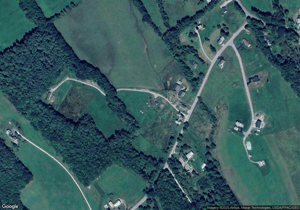
Map
Nearby Homes
- 23 Boondock Ln
- Lot 6 Silver Ridge
- 37 Wiley Rd
- 519 Greenwood Rd
- 59 Bobcat Way
- 19 Lydia Ln
- 25 Lydia Ln
- Map6Lot55 Sandy Shore Ln
- 21 Wood Duck Way
- 248 Morse Rd
- 24 Chickadee Way
- 0 French Rd
- 52 High Ridge Rd
- 206 Ralph Richardson Rd
- 152 Ralph Richardson Rd
- 33 Old Pulp Mill Ln
- 49-51 Pleasant St
- 133 Lake Rd
- Lot 06 Mcintire Rd
- TBD Dunn Rd
- 137 Watson Rd
- 148 Watson Rd
- 166 Watson Rd
- 37 Rolling Meadow Dr
- 175 Watson Rd
- lot 2 Rolling Meadow Dr
- Lot 5 Rolling Meadow Dr
- 5 Rolling Meadow Dr
- 1 Rolling Meadow Estates
- lot 1 Rolling Meadow Estates
- 178 Watson Rd
- 168 Watson Rd
- 0 Rolling Meadow Dr Unit 886030
- LOT 3 Rolling Meadow Dr
- 0 Rolling Meadow Dr Unit 1334126
- 0 Mcintyre Rd Unit 865438
- 0 Mcintyre Rd Unit 922700
- 00 Jack Heath
- 6 Skilling Ave
- Lot 13 Silver Ridge Estates