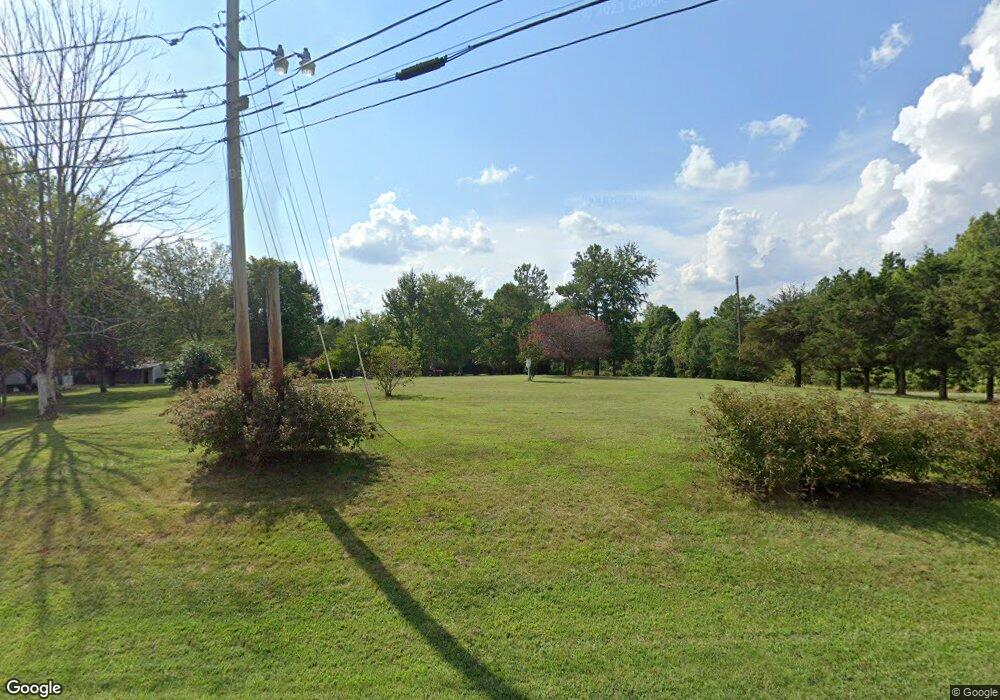
1460 Cunningham Rd Thomasville, NC 27360
Estimated Value: $21,983 - $302,000
Studio
1
Bath
--
Sq Ft
43,560
Sq Ft Lot
About This Home
This home is located at 1460 Cunningham Rd, Thomasville, NC 27360 and is currently estimated at $161,992. 1460 Cunningham Rd is a home located in Davidson County with nearby schools including Davis-Townsend Elementary School, Central Davidson Middle School, and Central Davidson High School.
Ownership History
Date
Name
Owned For
Owner Type
Purchase Details
Closed on
Mar 11, 2020
Sold by
Hornady Ronald Lee and Hornady Kay B
Bought by
Hornady Pamala W
Current Estimated Value
Purchase Details
Closed on
Jun 5, 2019
Sold by
Hornady Ronald Lee and Estate Of Ronald L Hornady Sr
Bought by
Hornady Ronald Lee
Purchase Details
Closed on
Apr 2, 2012
Sold by
Hornady Ronald L and Hornady Pamala W
Bought by
Hornady Ronald L and Hornady Pamala W
Purchase Details
Closed on
May 27, 2010
Sold by
Myers Jack L and Myers Carolyn Evelyn
Bought by
Hornady Ronald L and Hornady Pamala W
Purchase Details
Closed on
Jul 1, 1989
Create a Home Valuation Report for This Property
The Home Valuation Report is an in-depth analysis detailing your home's value as well as a comparison with similar homes in the area
Home Values in the Area
Average Home Value in this Area
Purchase History
| Date | Buyer | Sale Price | Title Company |
|---|---|---|---|
| Hornady Pamala W | $55,000 | None Available | |
| Hornady Ronald Lee | -- | None Available | |
| Hornady Ronald L | -- | None Available | |
| Hornady Ronald L | $10,000 | None Available | |
| -- | $25,000 | -- |
Source: Public Records
Tax History
| Year | Tax Paid | Tax Assessment Tax Assessment Total Assessment is a certain percentage of the fair market value that is determined by local assessors to be the total taxable value of land and additions on the property. | Land | Improvement |
|---|---|---|---|---|
| 2025 | $172 | $27,230 | $0 | $0 |
| 2024 | $172 | $27,230 | $0 | $0 |
| 2023 | $172 | $27,230 | $0 | $0 |
| 2022 | $172 | $27,230 | $0 | $0 |
| 2021 | $172 | $27,230 | $0 | $0 |
| 2020 | $172 | $27,230 | $0 | $0 |
| 2019 | $174 | $27,230 | $0 | $0 |
| 2018 | $174 | $27,230 | $0 | $0 |
| 2017 | $174 | $27,230 | $0 | $0 |
| 2016 | $169 | $27,230 | $0 | $0 |
| 2015 | $169 | $27,230 | $0 | $0 |
| 2014 | $146 | $23,600 | $0 | $0 |
Source: Public Records
Map
Nearby Homes
- 119 Alexandria Ln
- 1004 Black Farm Rd
- 5285 E Holly Grove Rd
- 5285 E Holly Grove Rd Unit 43
- 6919 E Holly Grove Rd
- 301 Beck Forest Ln
- 179 Stephens Ln
- 164 Holland Ln
- 186 Holland Ln
- 380 Cedarland Dr
- 0 E Holly Grove Rd
- 450 Black Lake Rd
- 295 Calinda Dr
- 189 Panther Ln
- 189 Panther Ln Unit 94-97
- 901 Decker Rd
- 370 Lee Rd
- 0 E US Highway 64
- 3622 Lower Lake Rd
- 737 Lee Rd
- 1534 Cunningham Rd
- 1178 Carter Rd
- 235 Carter Rd
- 1345 Cunningham Rd
- 259 Carter Rd
- 1616 Cunningham Rd
- 1616 Kennedy Rd
- 294 Carter Rd
- 297 Carter Rd
- 0 Carter Rd
- 1650 Cunningham Rd
- 388 Carter Rd
- 1186 Cunningham Rd
- 1766 Cunningham Rd
- 1801 Cunningham Rd
- 398 Faith Chapel Rd
- 204 Poole Rd
- 1800 Cunningham Rd
- 330 Embler Cemetery Rd
- 260 Poole Rd
Your Personal Tour Guide
Ask me questions while you tour the home.